


Himalayan Treks in December
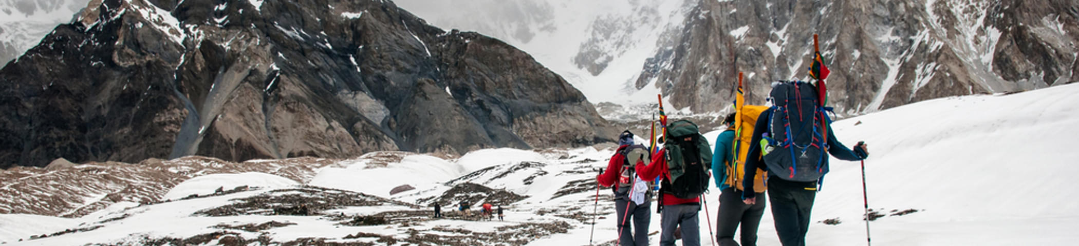
If you are looking for a unique experience with snow-covered trails, fresh mountain air and beautiful landscapes, then Himalayan treks in December are the perfect choice. This allows you to experience the mountains in their pristine and untouched glory. From Uttarakhand to Himachal Pradesh, every trekking experience gives you a chance to witness the beauty of the Himalayas closely.
Treks like the Auli Trek, Chopta Chandrashila Trek, and Triund Trek offer stunning views of peaks such as Nanda Devi, Trishul, and the Dhauladhar range. For high-altitude adventure seekers, challenging treks like the Pin Parvati Pass Trek or the Roopkund Trek provide a thrilling experience with icy passes and panoramic vistas.
Winter treks in regions like Manali, Dharamshala, and the Garhwal Himalayas also include spiritual and cultural encounters. You can explore Tungnath and Chandrashila during the Chopta trek, visit Hemkund Sahib on the Valley of Flowers trek, or experience traditional village life near Prashar Lake and Bijli Mahadev. The snow-capped landscapes, alpine lakes, and sparkling meadows create the perfect backdrop for photography, camping, and stargazing. Among the best Himalayan treks in December, options like the Hampta Pass Trek, Kheerganga Trek, and Bedni Bugyal Trek offer adventure and natural beauty for both beginner and seasoned trekkers.
