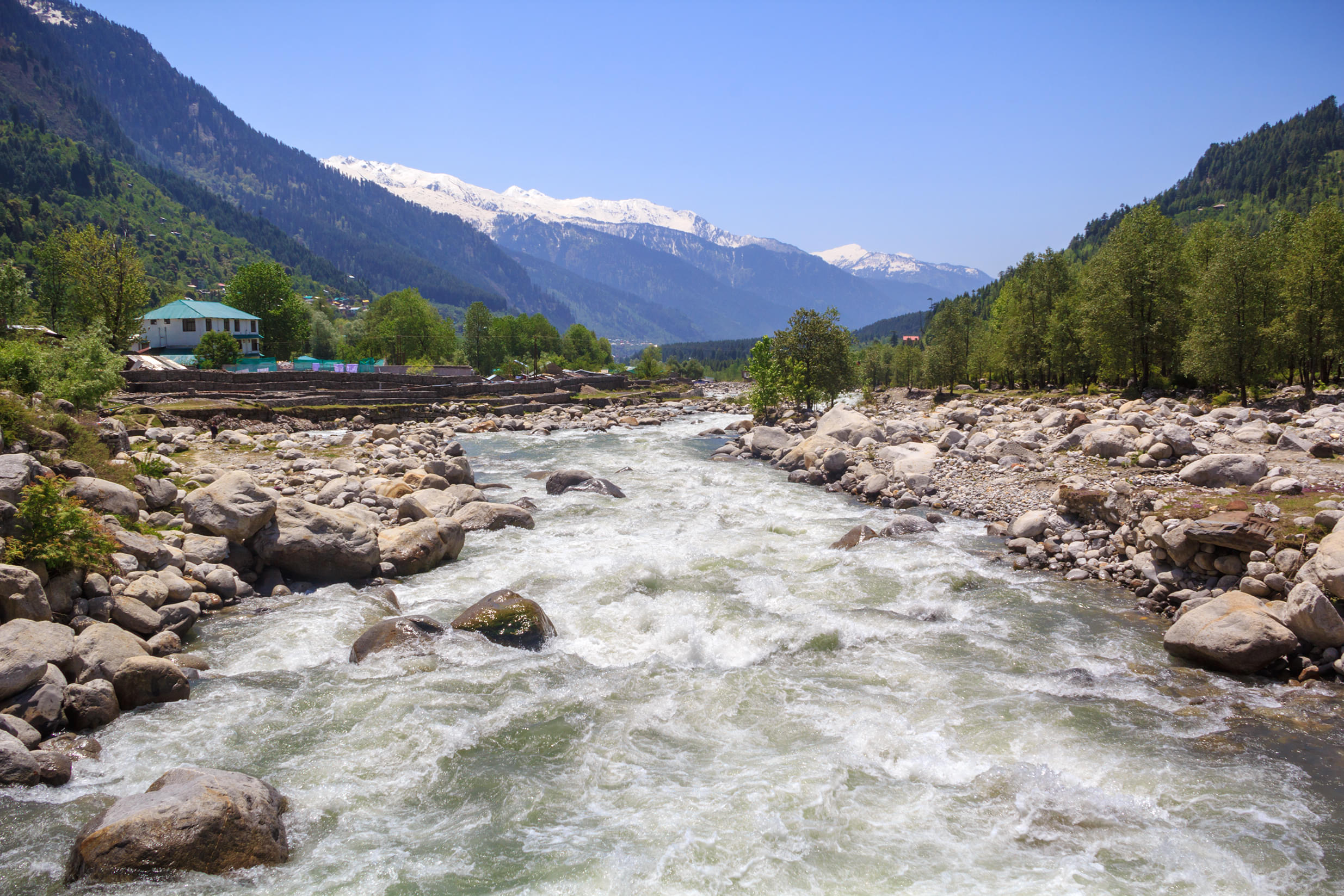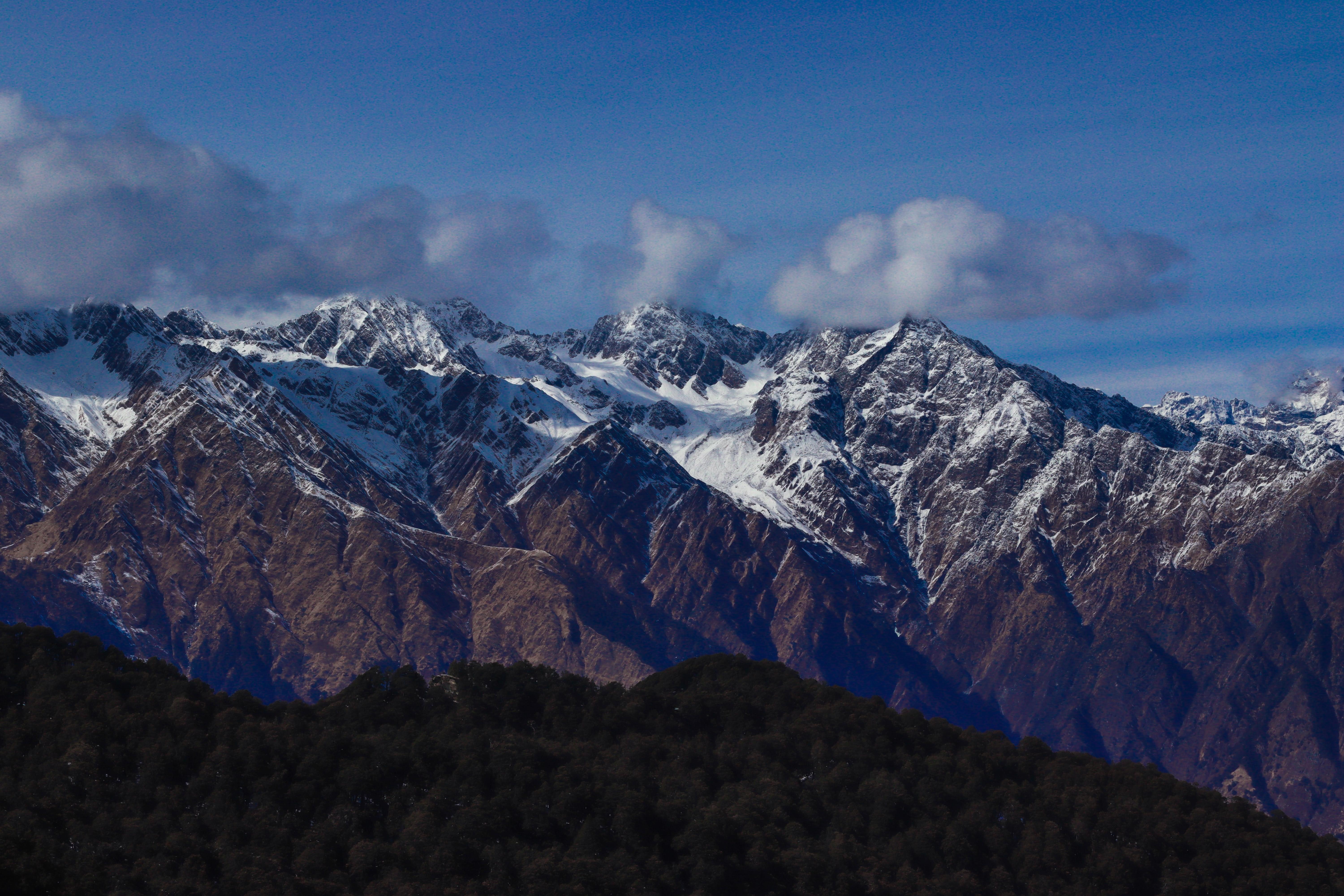
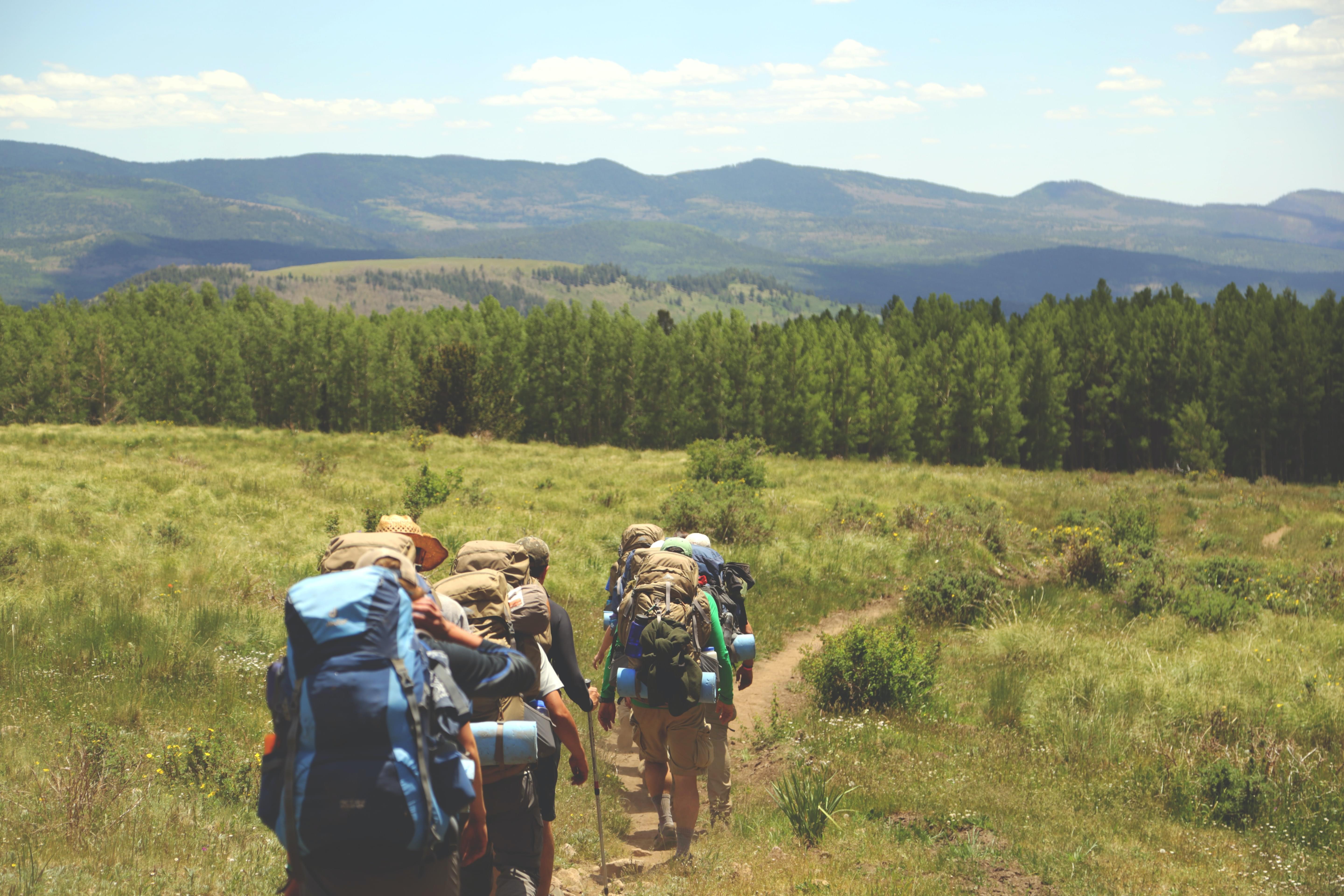
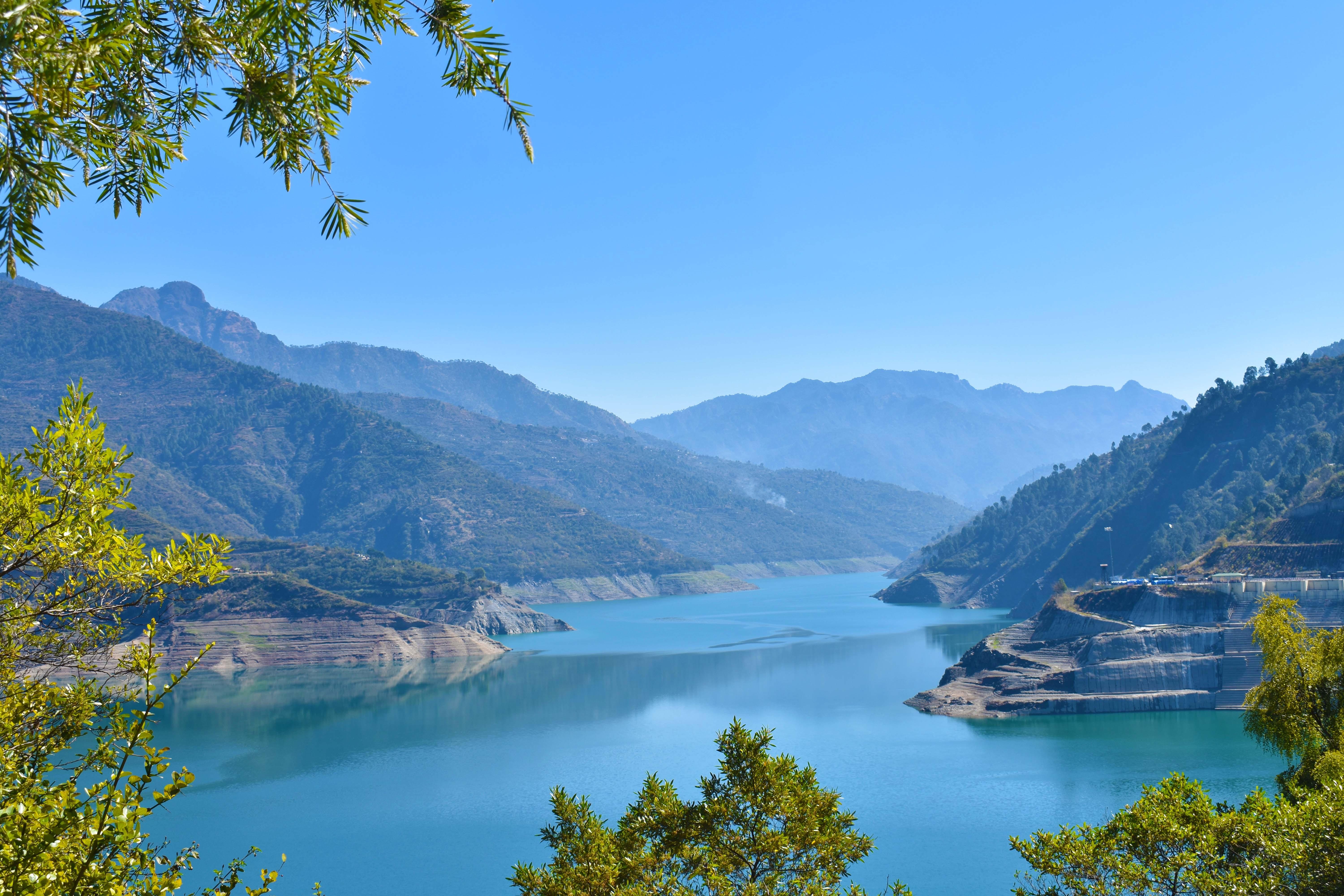
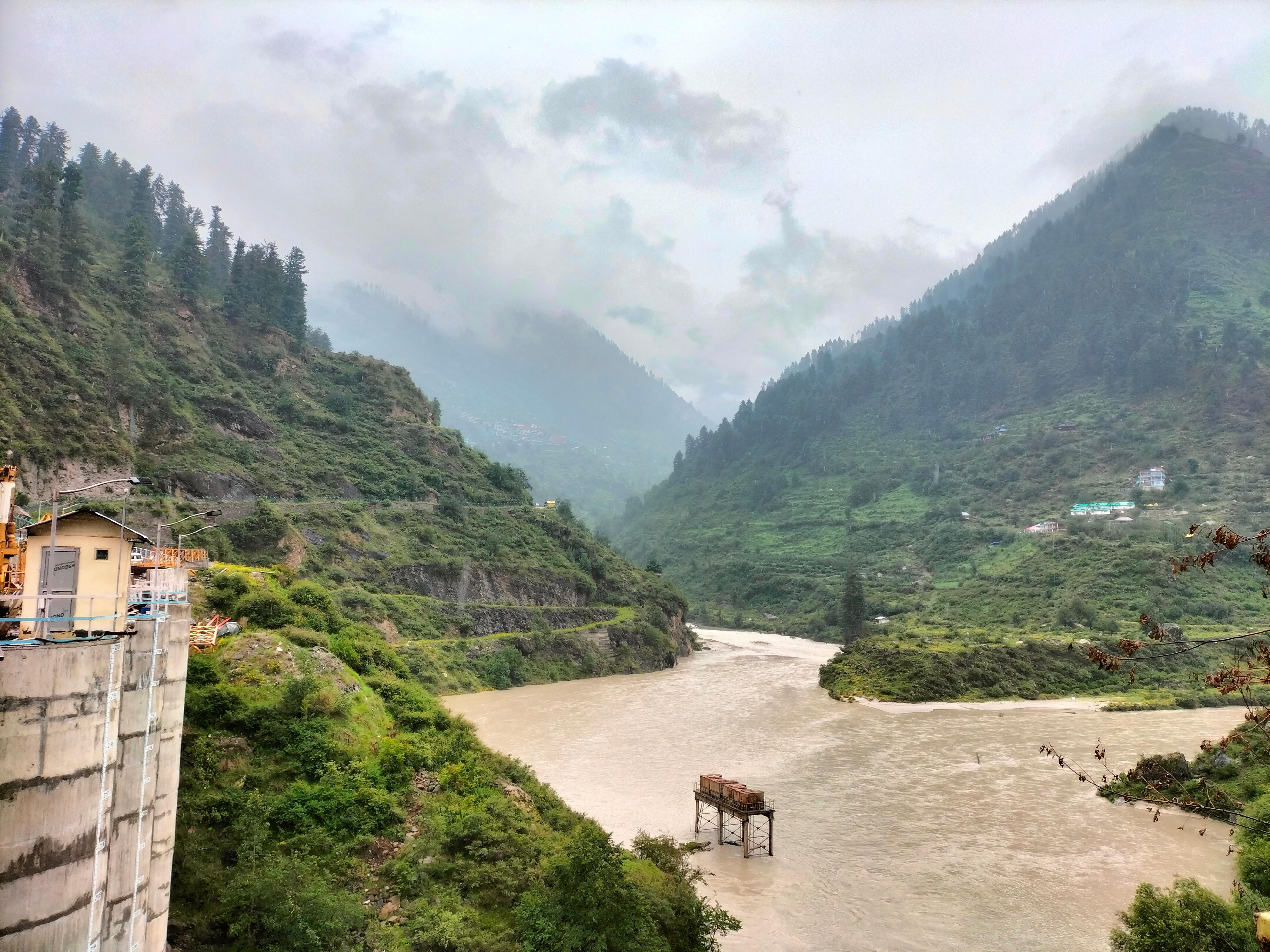
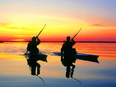
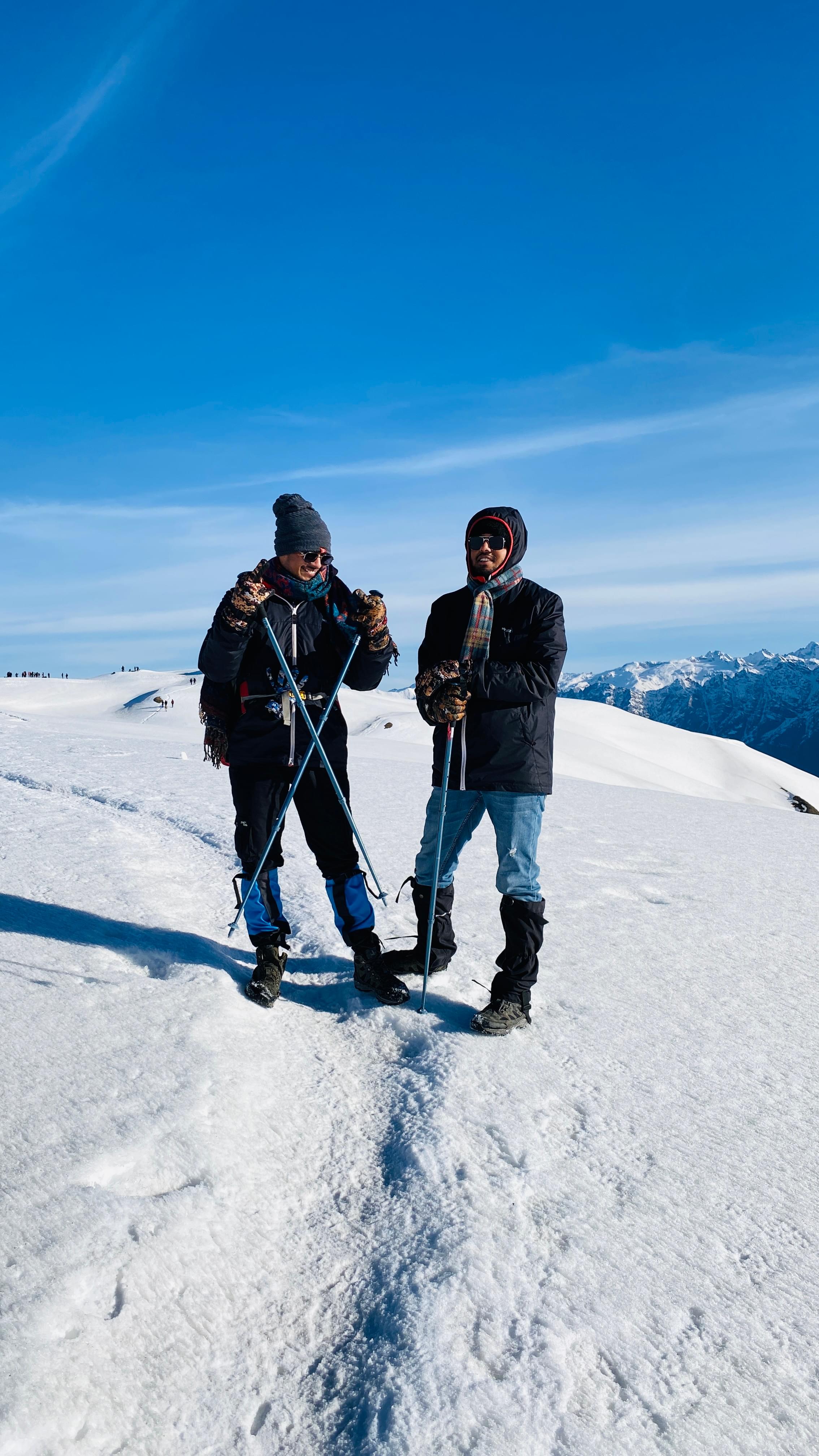
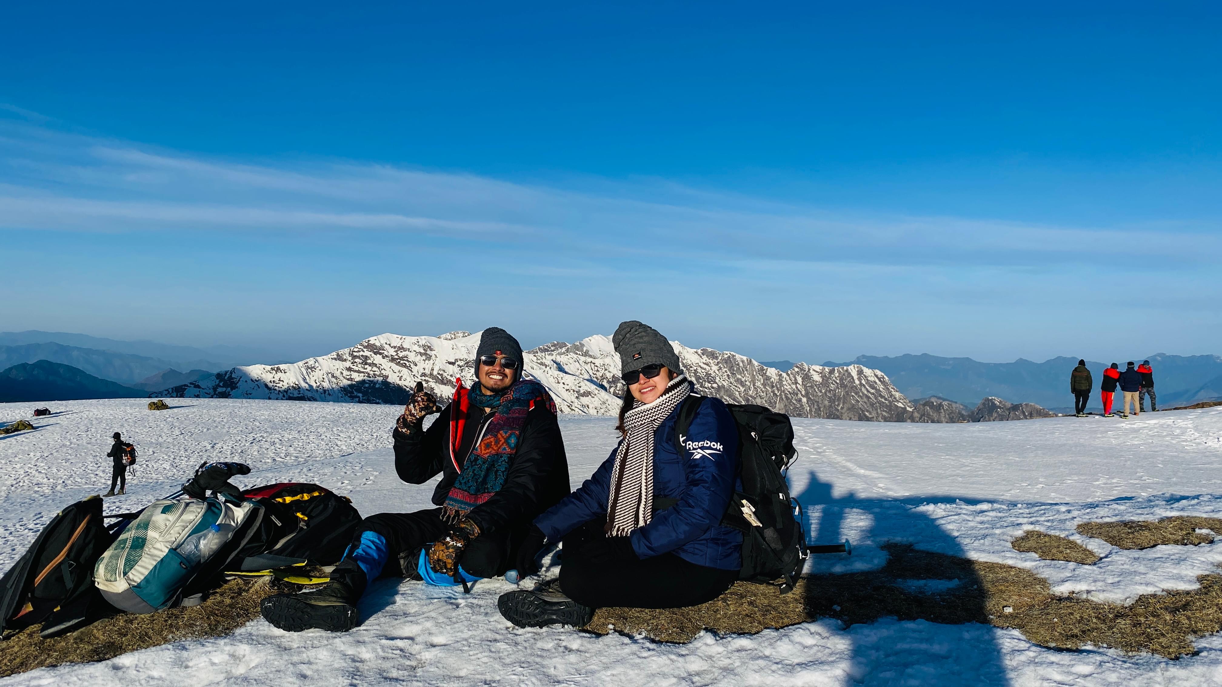
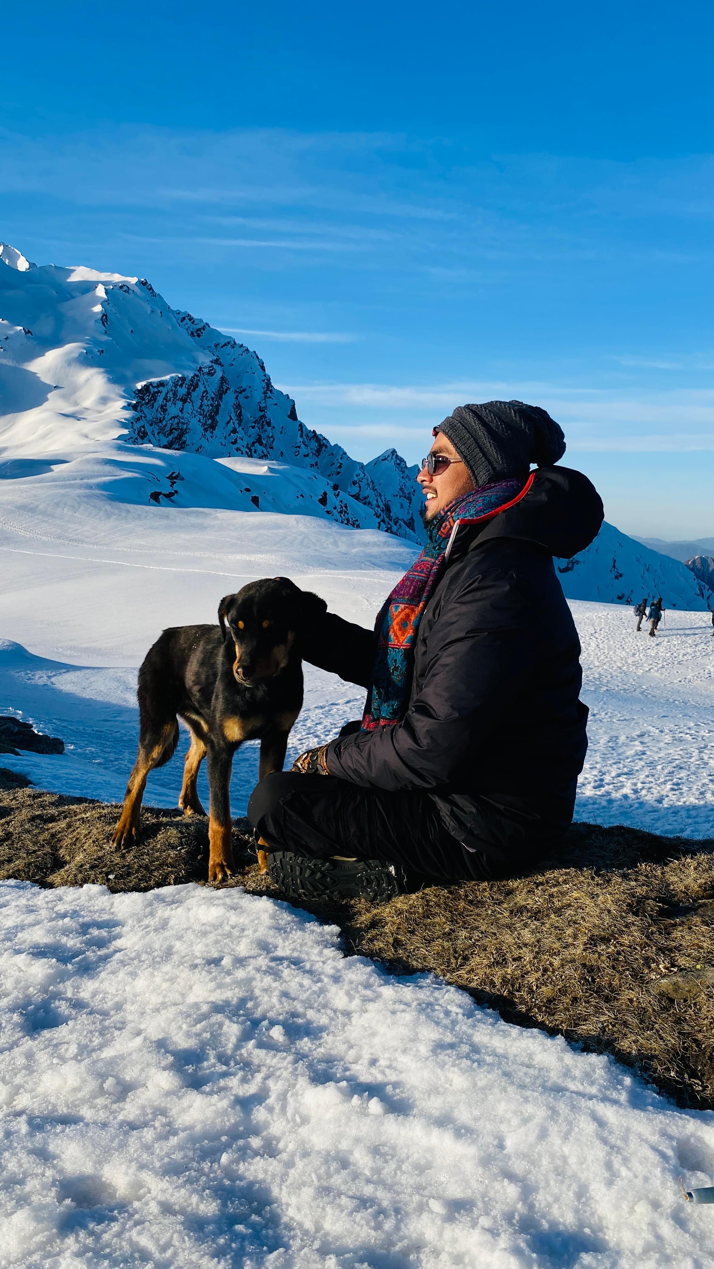
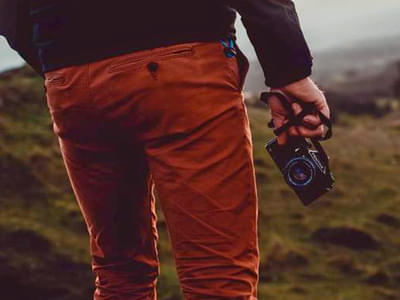
Trekking in Himachal Pradesh
Himachal Pradesh Trekking Packages | Duration | Price |
|---|---|---|
| Kheerganga Trek, Kasol | 3 days & 2 nights | INR 2,190 |
| Hampta Pass Trek, Manali | 5 days & 4 nights | INR 7,500 |
| Beas Kund Trek, Manali | 4 days & 3 nights | INR 5,299 |
| Triund Trek, Mcleodganj | 2 days & 1 night | INR 999 |
| Bhrigu Lake Trek, Manali | 4 days & 3 nights | INR 5,299 |
| Sar Pass Trek, Kasol | 5 days & 4 nights | INR 6,899 |
| Pin Parvati Trek, Himachal Pradesh | 10 days & 9 nights | INR 43,550 |
| Laka Glacier Trek with Triund, Mcleodganj | 3 days & 2 nights | INR 3,100 |
| Tosh Valley Trek, Himachal Pradesh | 2 days & 1 night | INR 1,190 |
| Prashar Lake Trek, Himachal | 2 days & 1 night | INR 2,499 |
| Pin Bhaba Pass Trek, Himachal Pradesh | 8 days & 7 nights | INR 24,500 |
| Indrahar Pass Trek, Mcleodganj | 4 days & 3 nights | INR 6,499 |
Hampta Pass Trek, Bhrigu Lake Trek, Kheerganga Trek, Pin Parvati Trek, Beas Kund Trek, Laka Glacier Trek, Triund Trek, Indrahar Pass Trek, Prashar Lake Trek, Tosh Valley Trek, and many more.
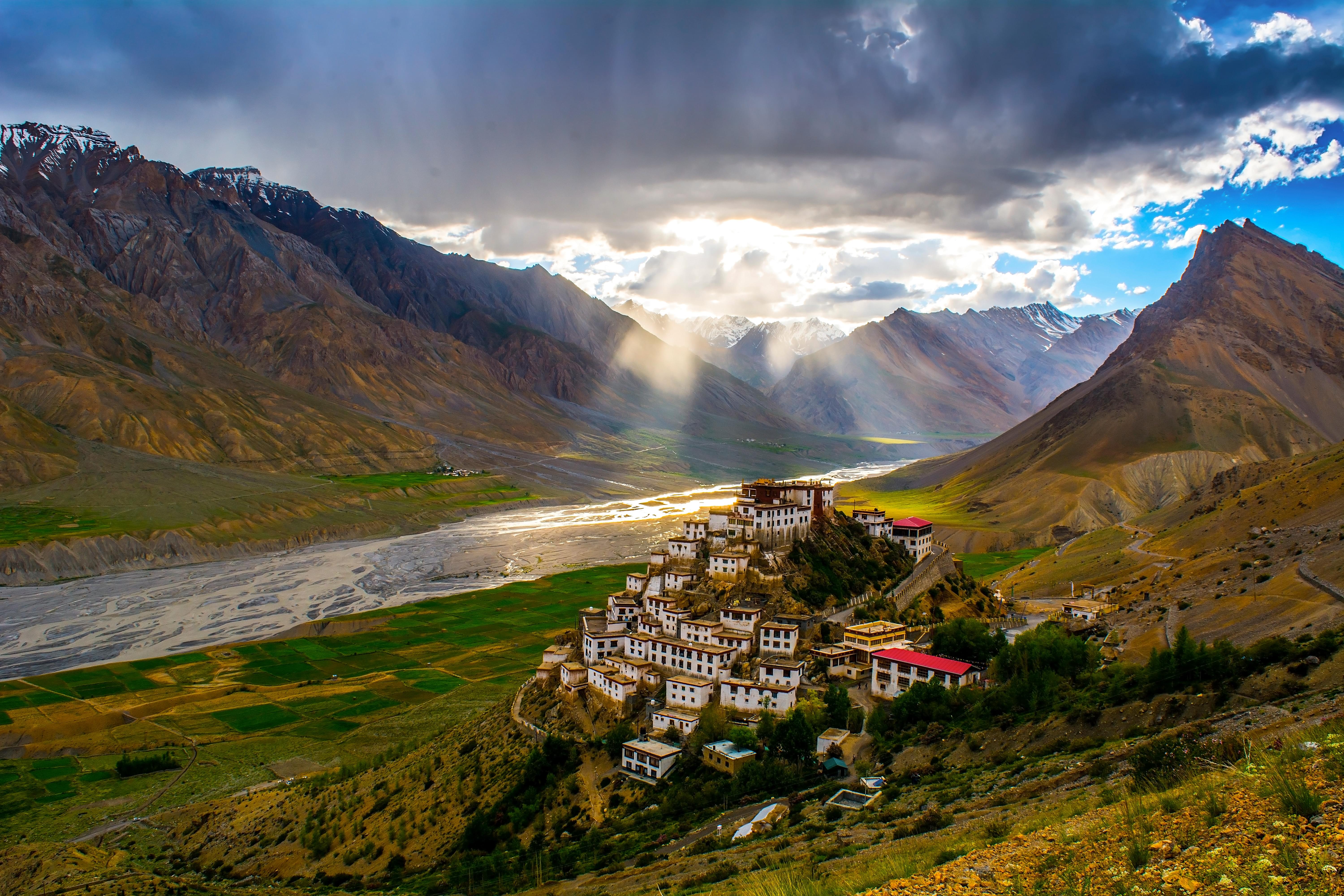
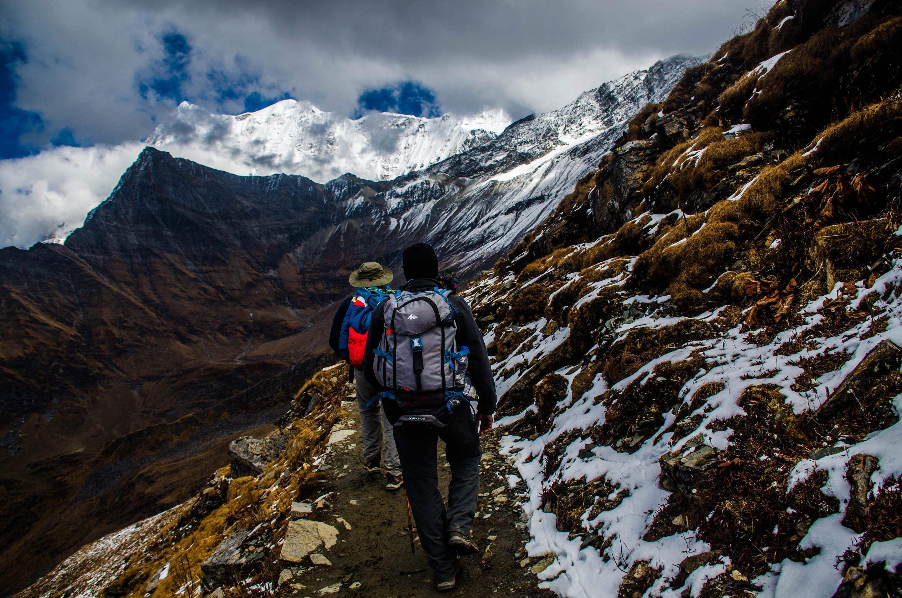
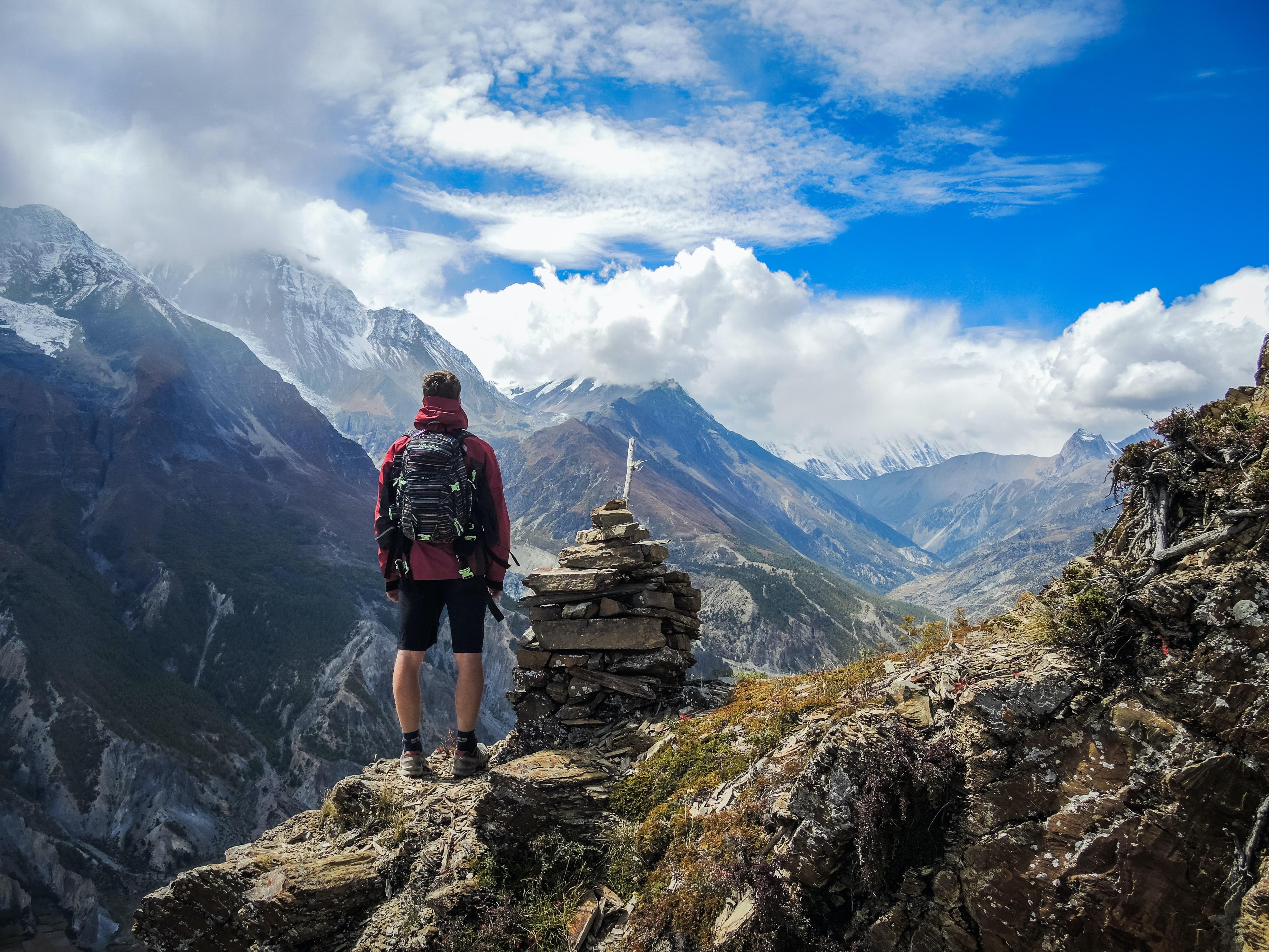
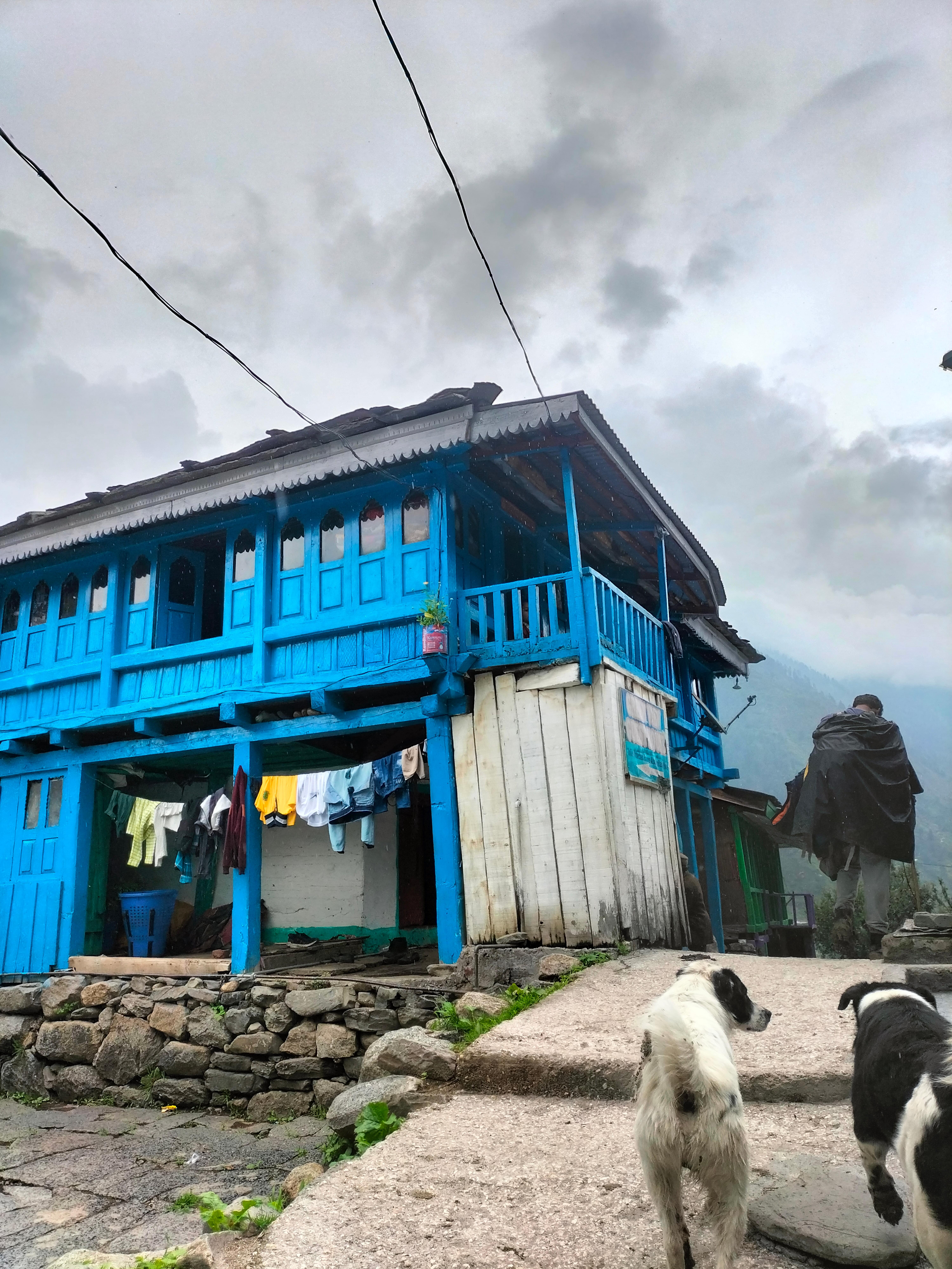
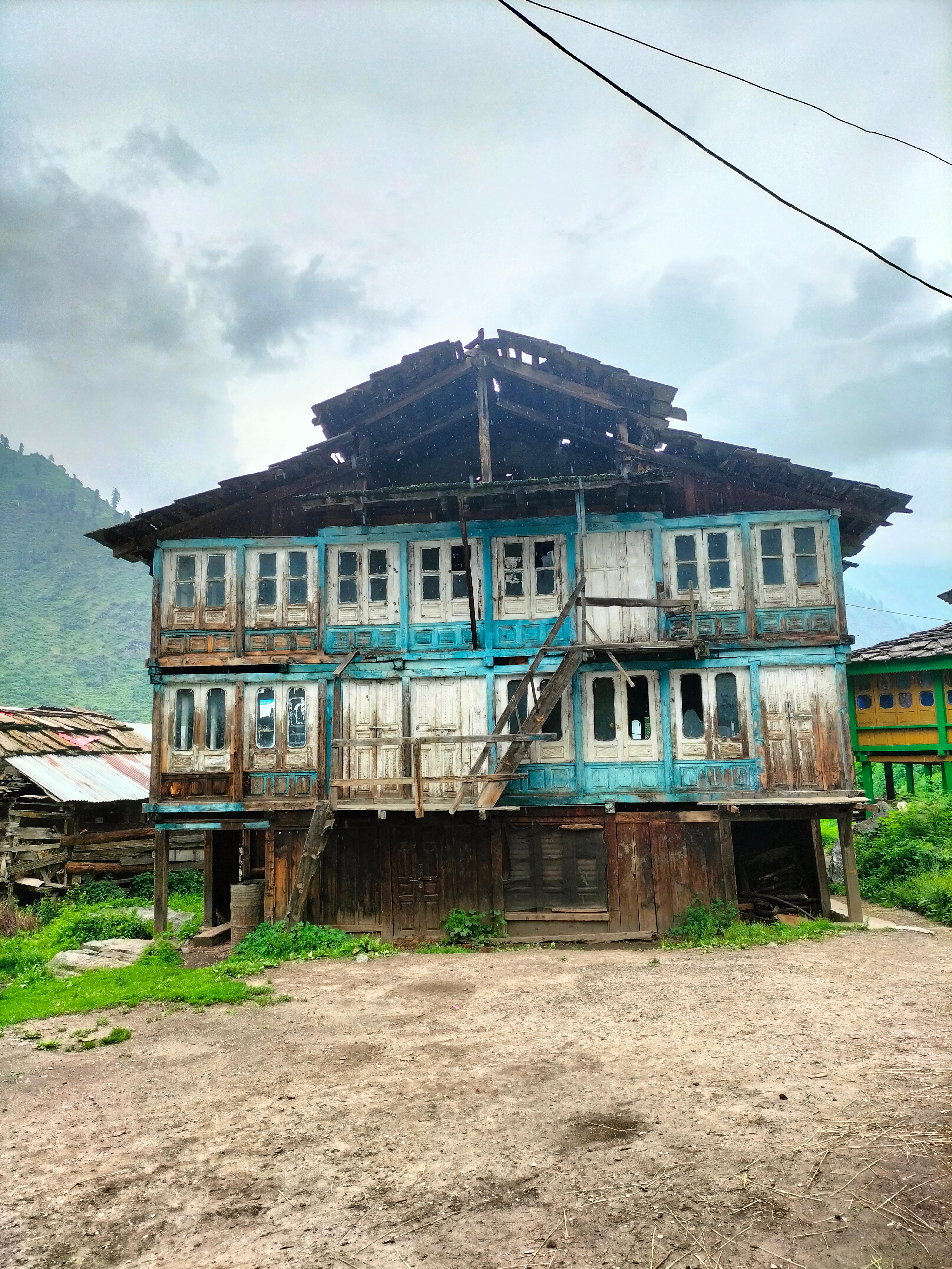
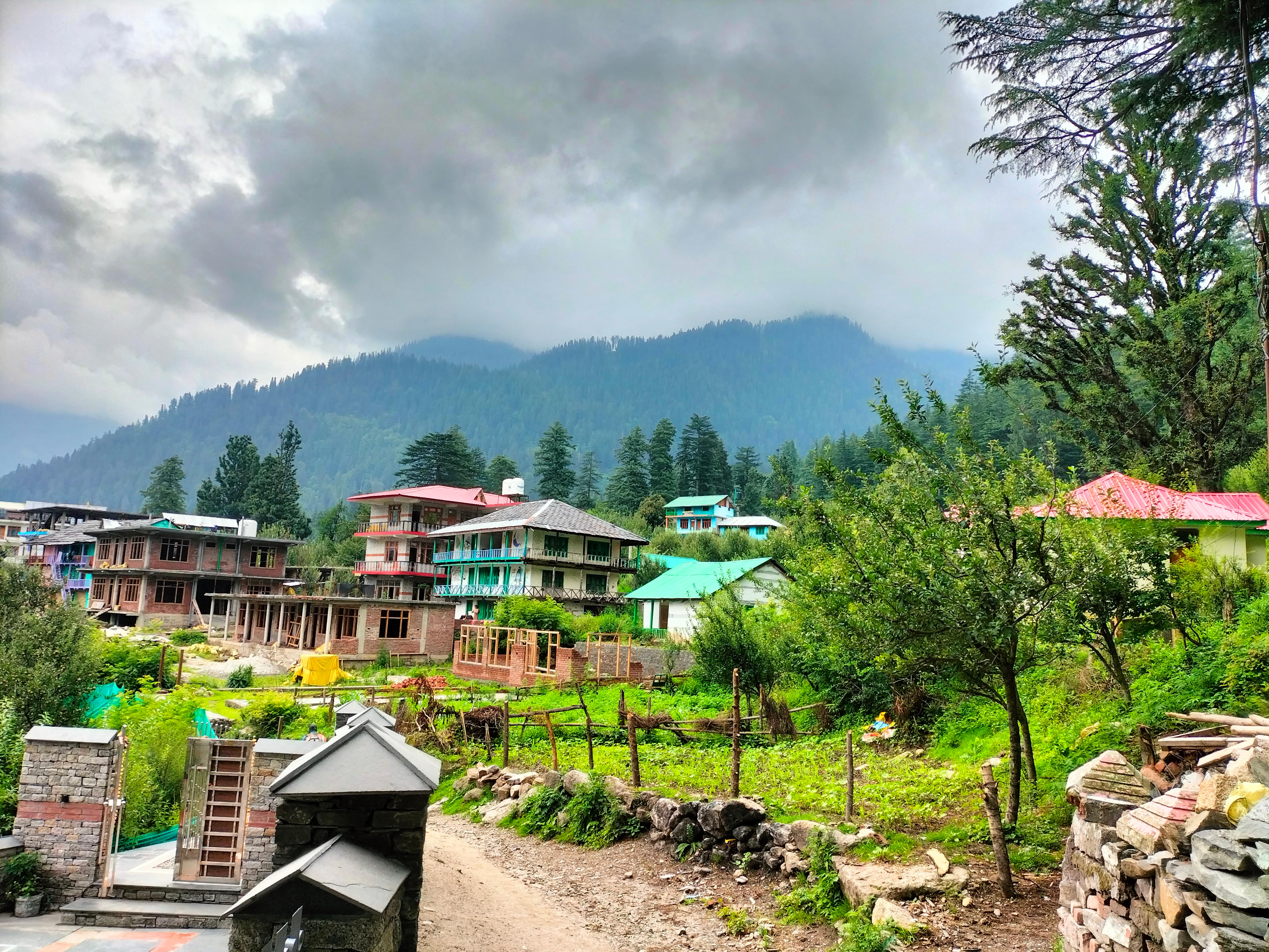
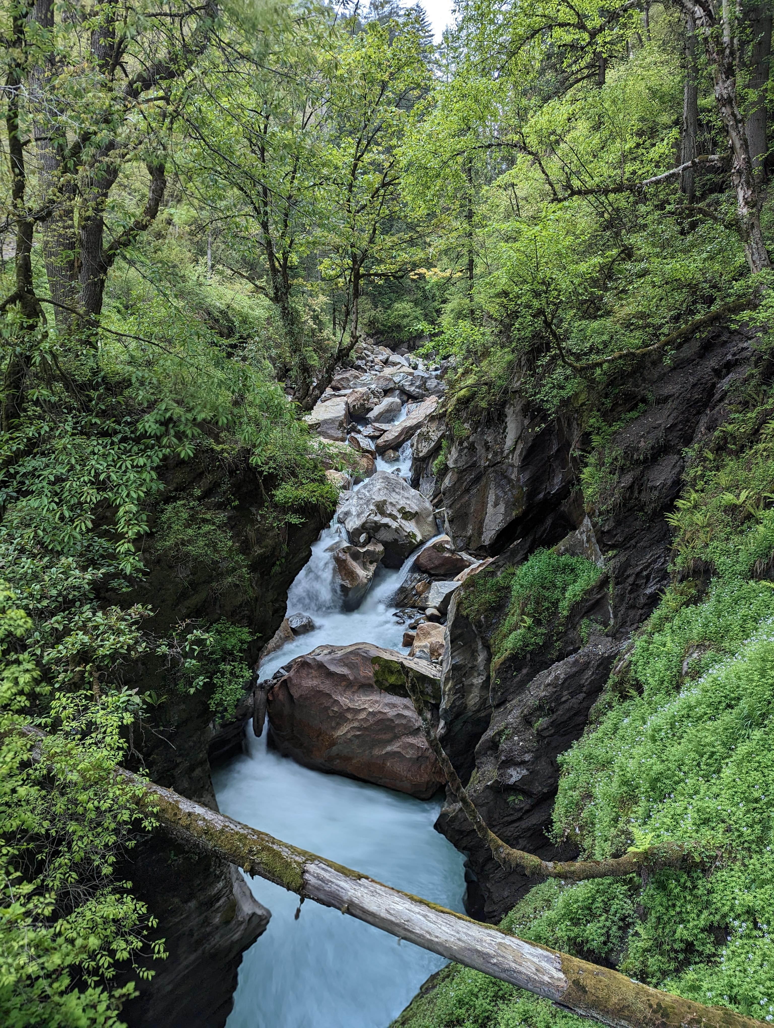
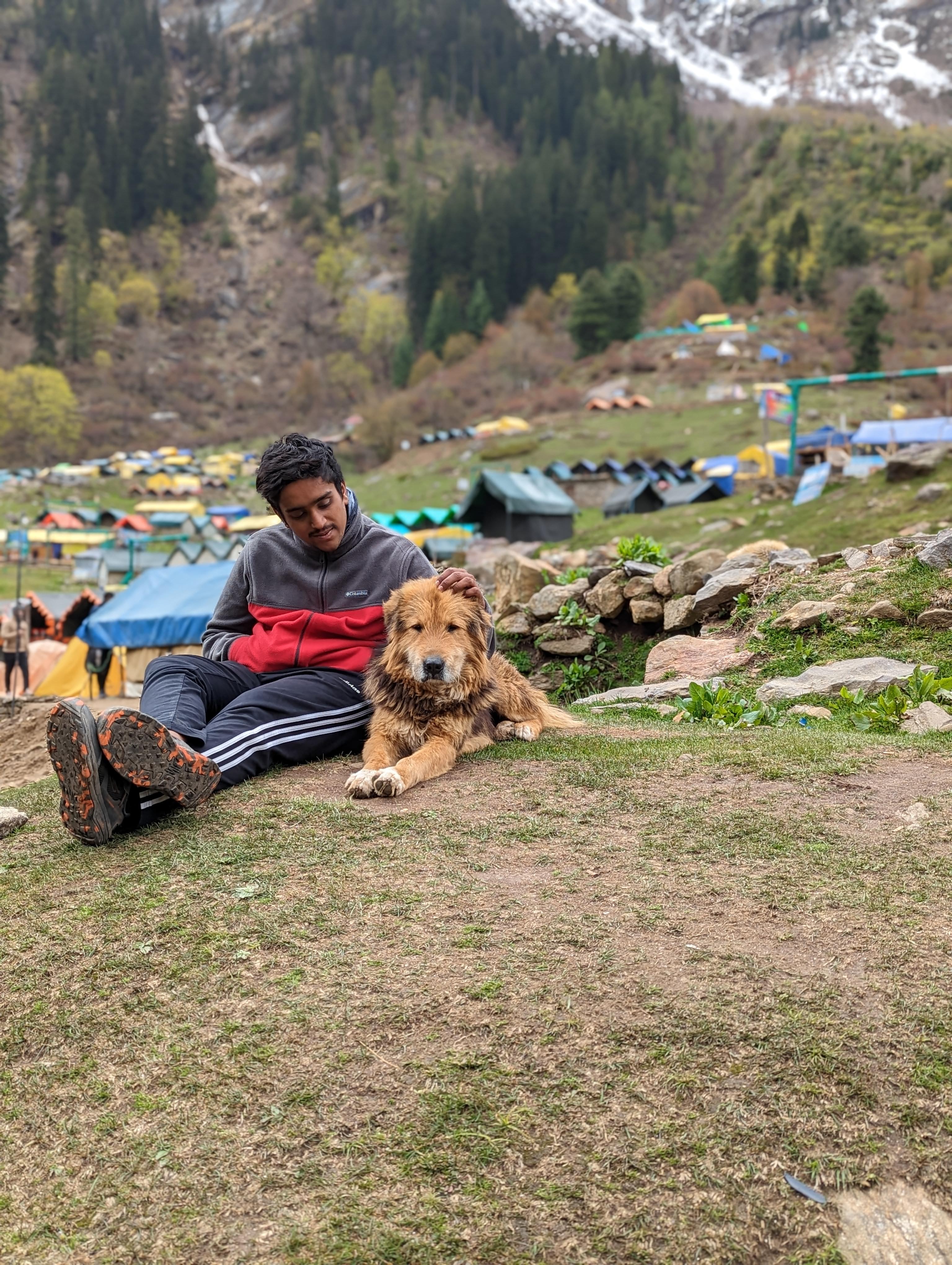
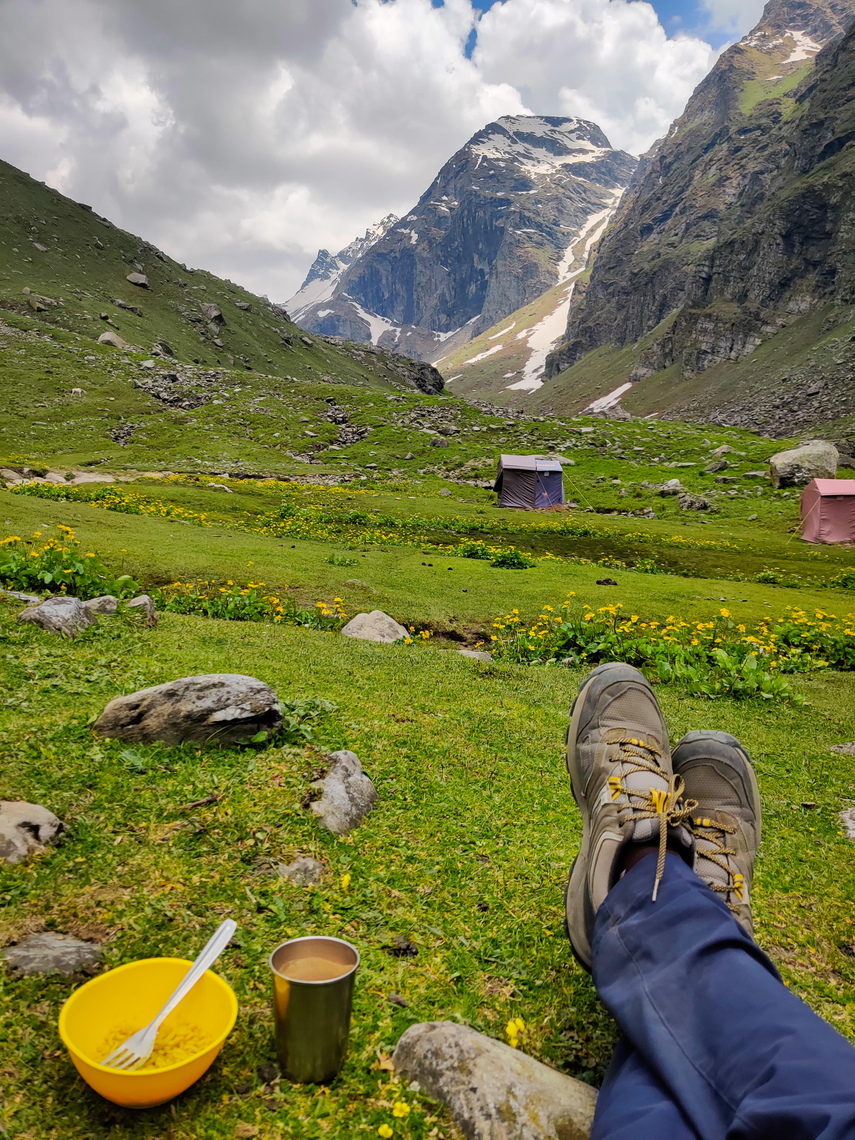
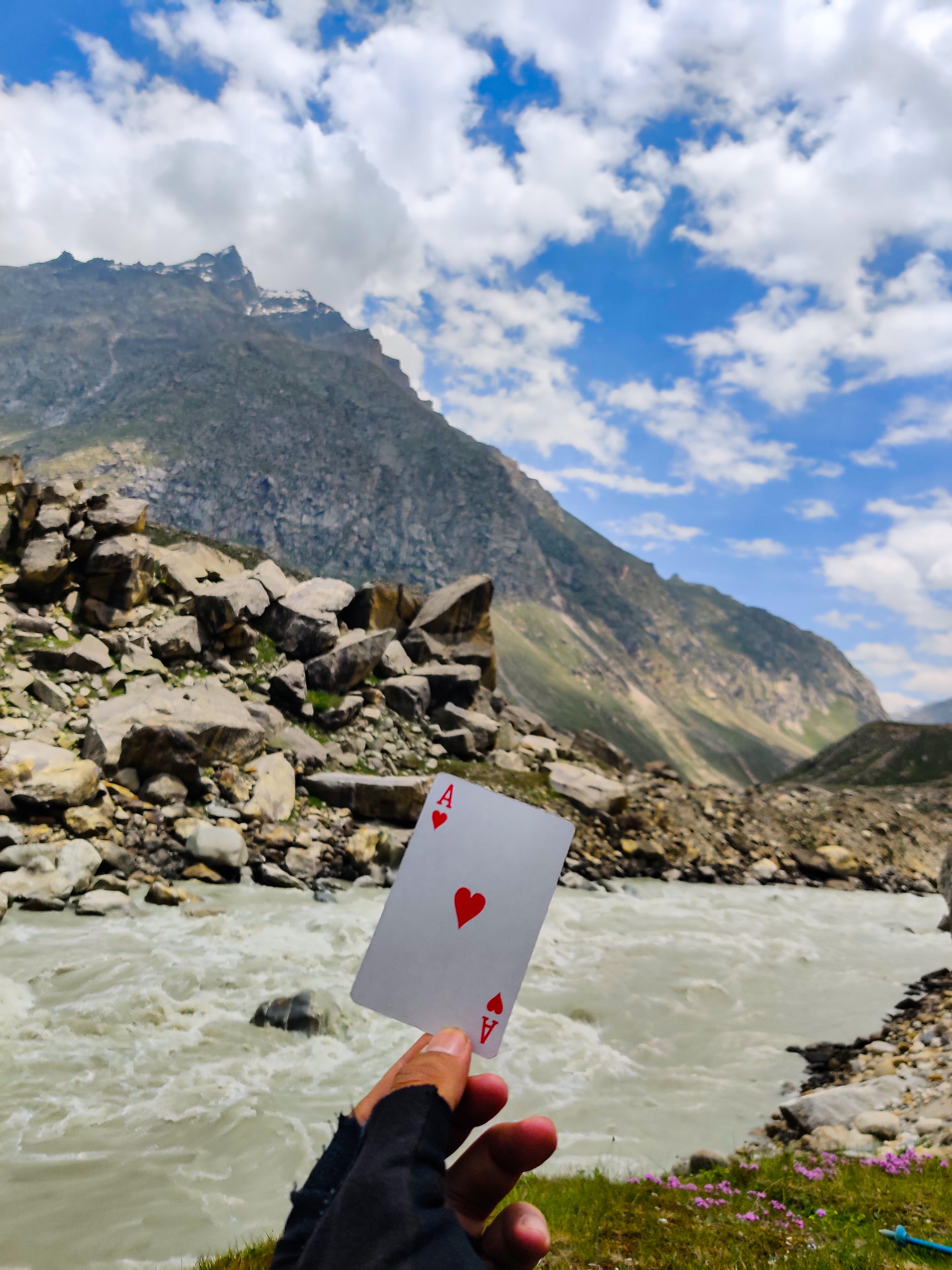
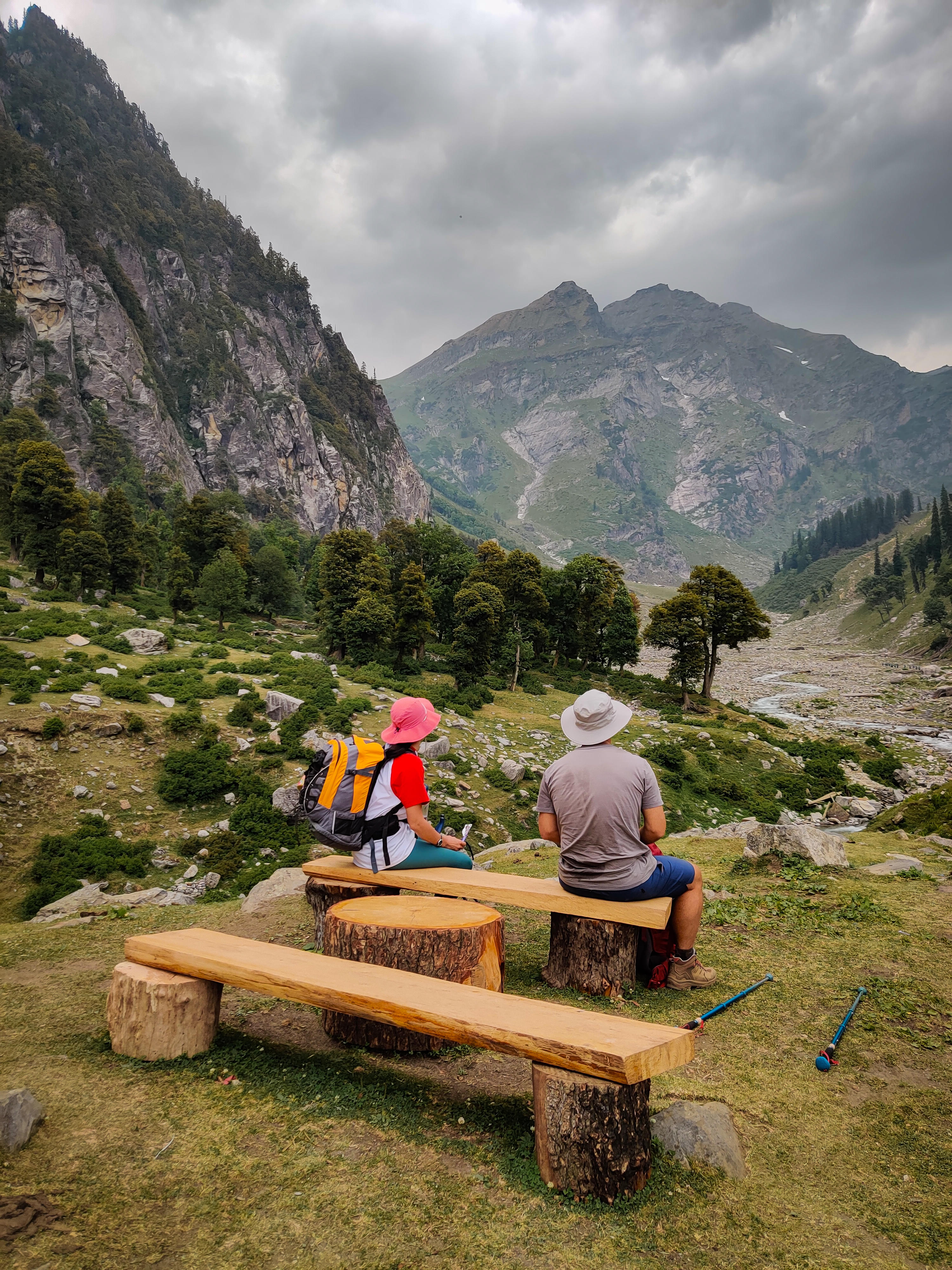
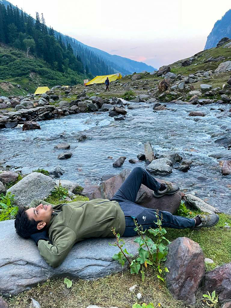
Trekking in Himachal Pradesh is like going on a big adventure! It's super exciting and offers lots of delightful experiences. Imagine trekking in the Himalayas, surrounded by beautiful mountains. Himachal Pradesh is famous for having some of the best trekking routes in the world. You can explore these routes with Thrillophilia to discover all the hidden paths.
Thrillophilia offers many grand treks in Himachal Pradesh. We take you to some famous ones: the Hampta Pass Trek, Triund Trek, and Chandrakhani Pass Trek. These offer some of the best trekking in Himachal Pradesh, showcasing the region's natural beauty. Thrillophilia makes sure that both new and experienced trekkers can enjoy these routes.
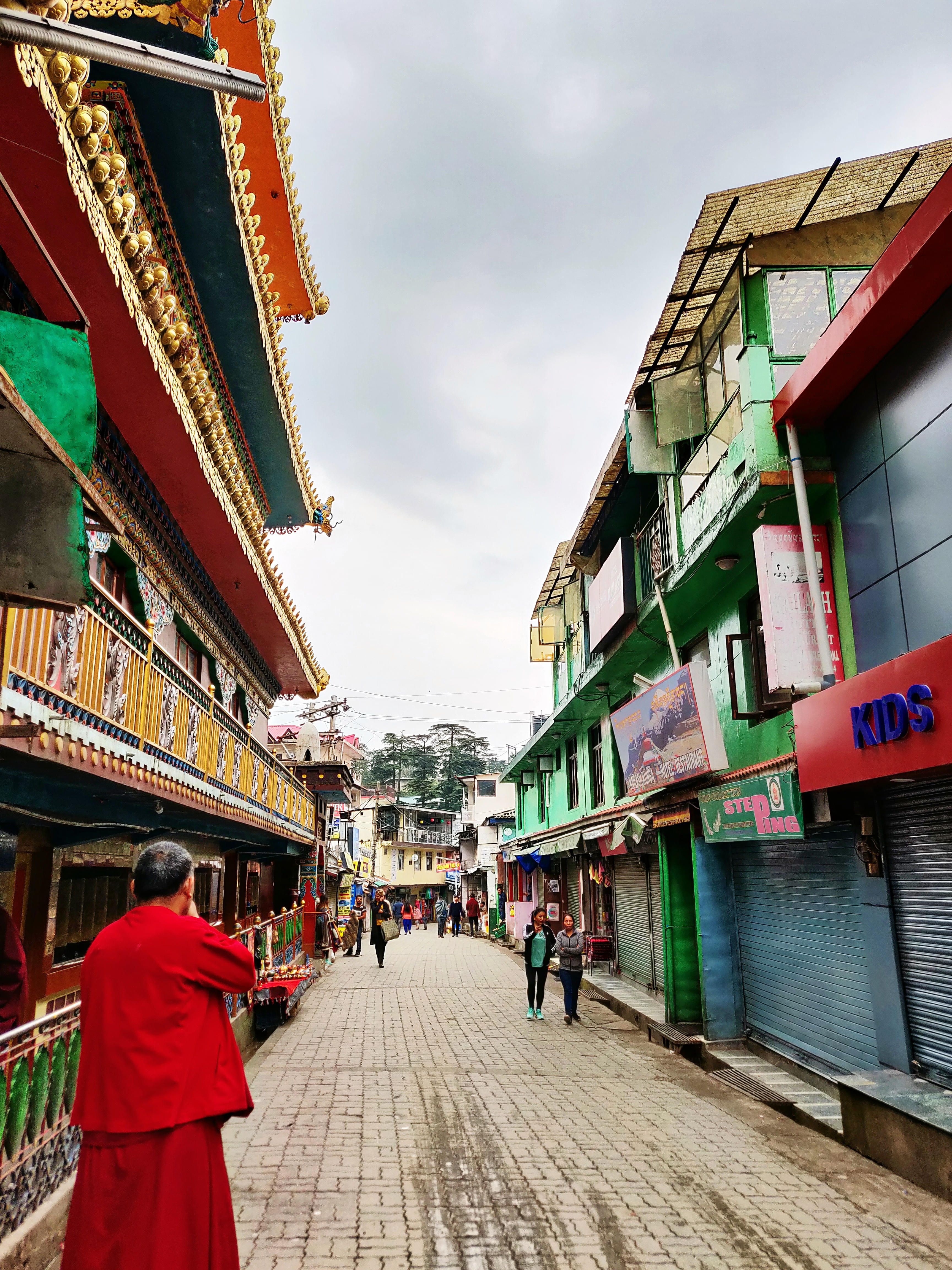
During your trek, you can visit old villages like Shanag and Burua in Old Manali. These villages are peaceful and clean, perfect for enjoying nature. If you like challenges, you can climb tough peaks like Deo Tibba, Friendship Peak, and Hanuman Tibba. These mountains are difficult to climb but give you a real adventure!
So, what are you waiting for? This is your chance to explore the beauty of the Himalayas with Thrillophilia's fun-filled trekking adventure. Don't wait any longer! Pack your bags, gather your gear, and join us in Himachal's trekking paradise. Explore the beauty of Himachal and embark on unforgettable trekking adventures with our curated Himachal holiday packages, ensuring you have a memorable and thrilling journey through this stunning region.
Here are some of the best treks in Himachal Pradesh:
1. Hampta Pass Trek:
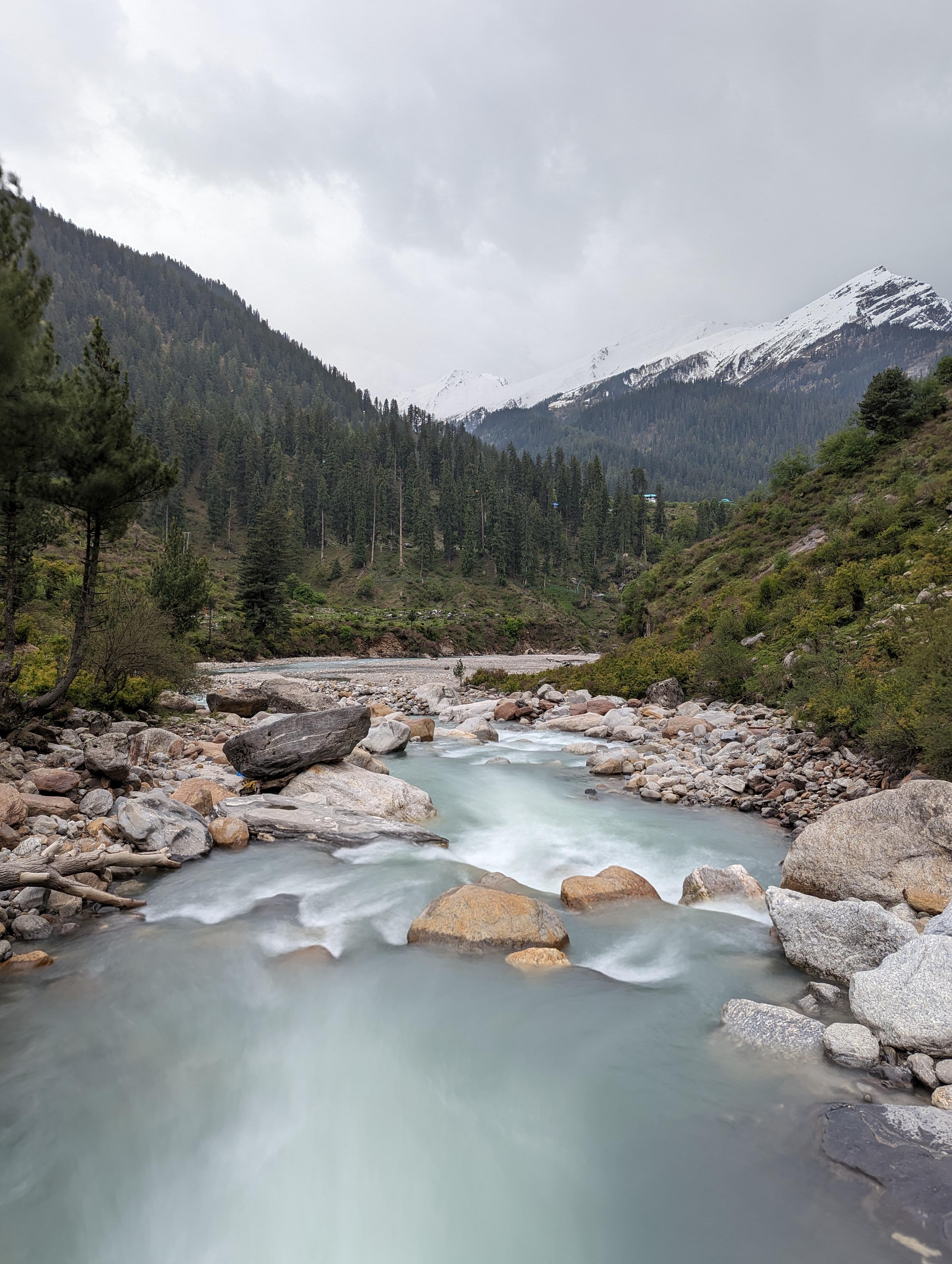
Flaunting barren mountains and stark, arid vistas of Lahaul on one side and lush, flower-clad Kullu valley on the other, the Hampta Pass Trek is one of the most dramatic treks in Himachal Pradesh. This 25 kilometers long trek can be done by novice trekkers with a decent level of fitness. One of the popular attractions of the trek which keeps the enthusiasm level high among the trekkers is the abundant nature.
From lush, sweet-smelling apple orchards to deep oak and deodar forests, this trek is decked up with rich envions, every nature lover will want to bask in. Another star attraction of the Hampta Pass Trek are the spectacular campsites of Shea Goru and Balu ka Ghera, which offer an awe-inspiring setting, dotted with green patches and a clear stream and surrounded by high-rising mountains.
Difficulty Level: Moderate
Duration: 6 days
Maximum Altitude: 14,065 feet
2. Bhrigu Lake Trek:
Lying at a small distance of around 20 kilometers from Manali, Bhrigu Lake Trek is one of the most beautiful grassland treks in Himachal Pradesh. Famous for the popular mythological belief that saint Maharishi Bhrigu once practiced his meditation here, the place gets a huge influx of trekkers owing to its breathtaking alpine meadows and the serene lake. Offering you a feeling similar to that of Switzerland, the meadows here are spread like a never-ending carpet with grazing sheeps and wild horses adding to the beauty.
The trek is also known to offer unmatched views of the stunning Dhauladhar and Pir Panjal peaks, which is yet another reason the trekkers feel enthusiastic to hike the Bhrigu Lake Trek.
Difficulty Level: Moderate
Duration: 4 days
Maximum Altitude: 14,009 feet
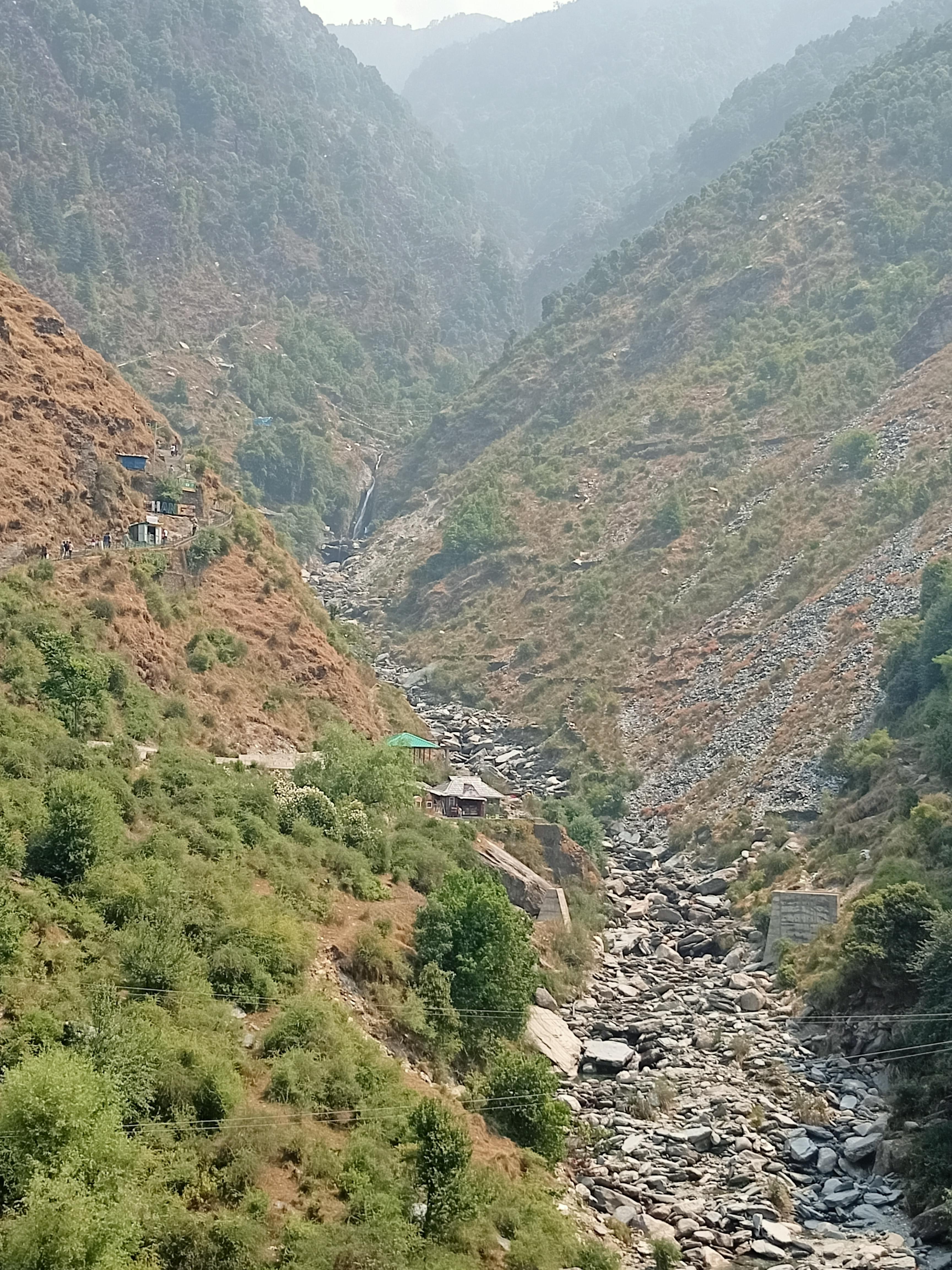
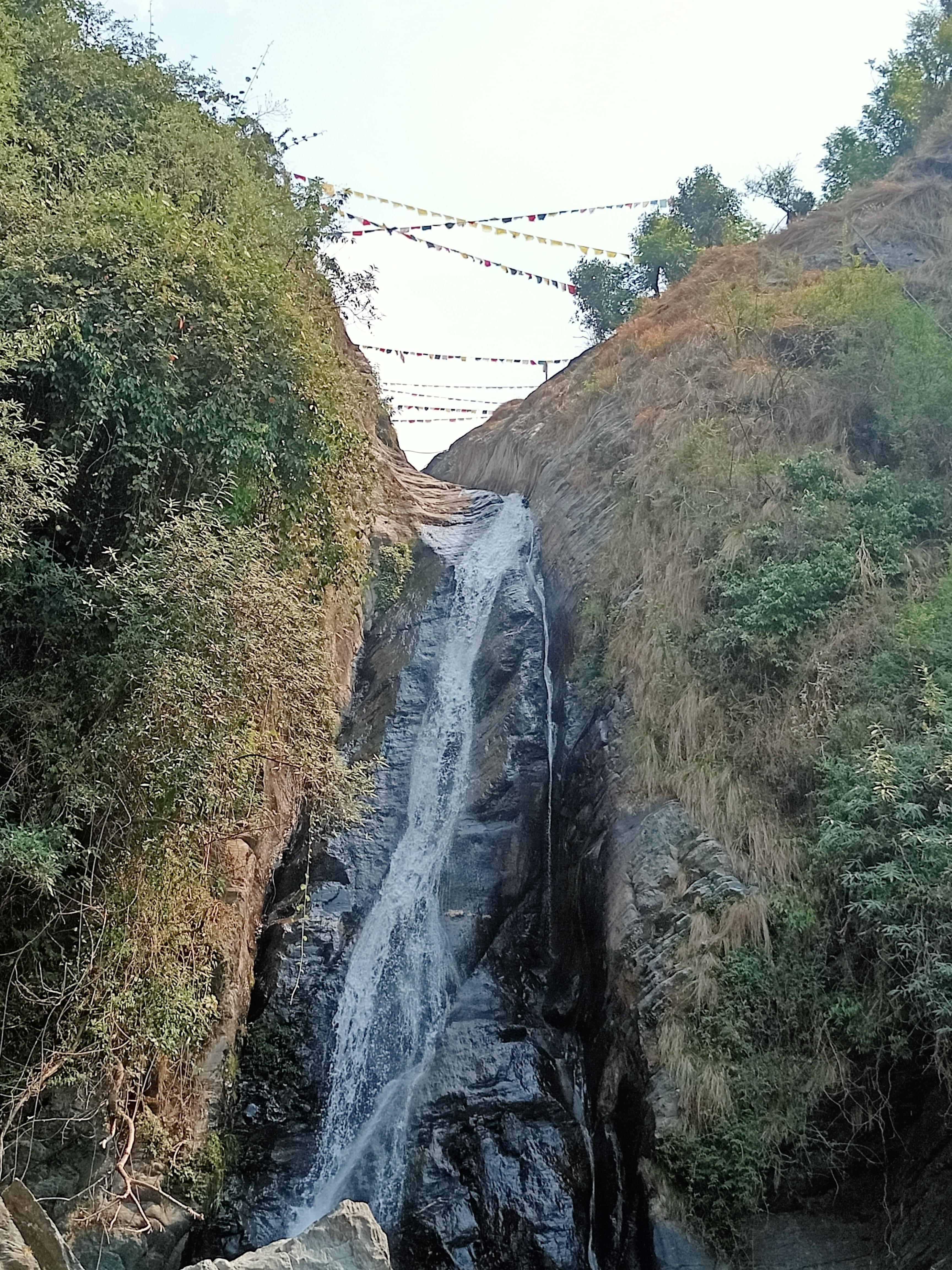
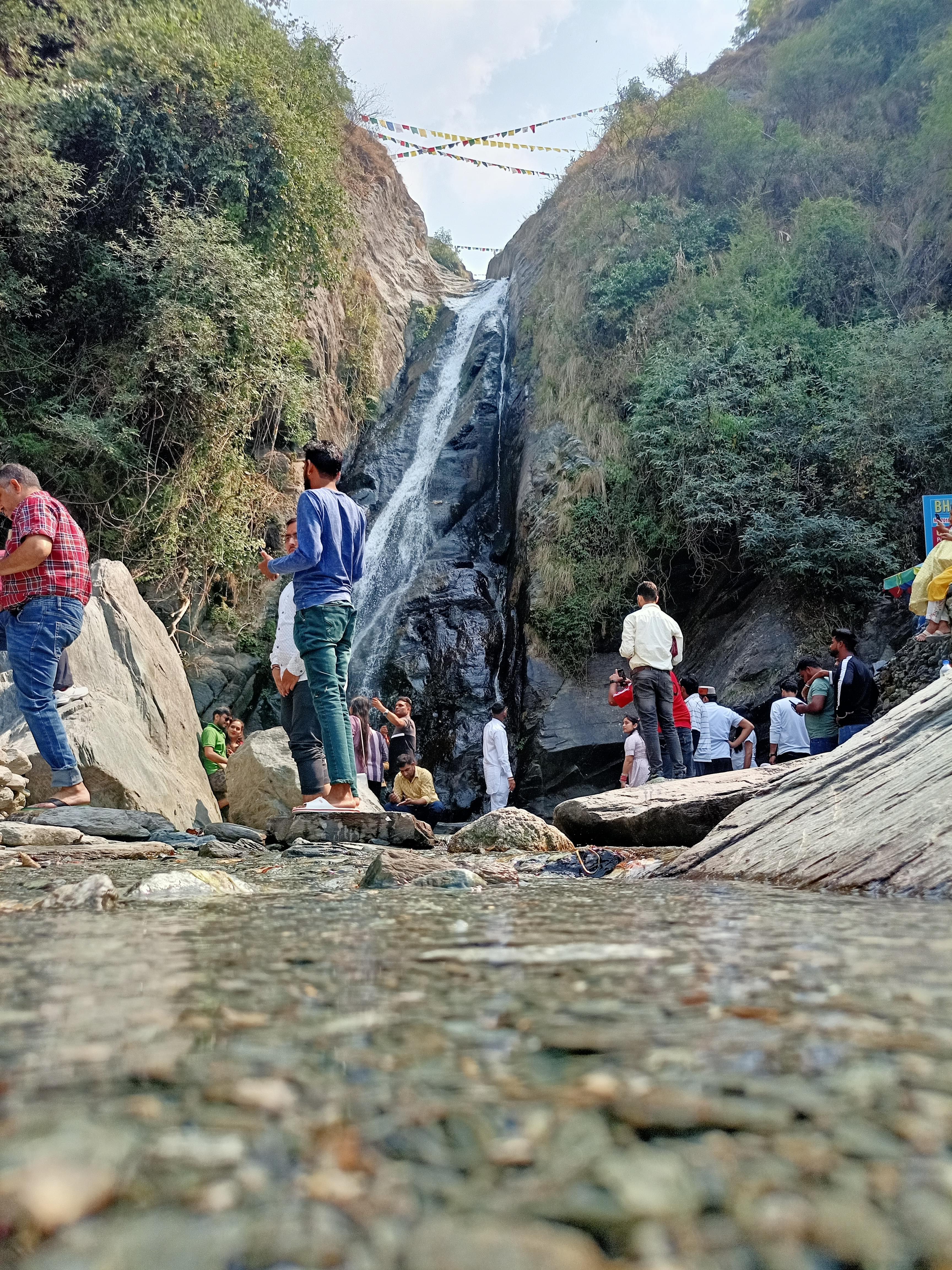
3. Kheerganga Trek:
Nestled at the end of the beautiful Parvati valley, Kheerganga Trek is one of the most serene and peaceful trekking places in Himachal, which is known widely for its scenic aspects and mythological significance. Packed with a small bathing tank, an enchanting hot water spring, and an age-old Shiva temple, Kheerganga propels millions of avid trekkers in search of spirituality and inner calm, every year.
On their way to the shimmering Kheerganga river, the trekkers will pass through charming villages, picturesque waterfalls, and mighty snow-clad mountains. Among all the spellbinding scenic sights of the trek, one of the most unique views is that of the serpent-shaped waterfall in Rudra Nag.
Difficulty Level: Easy to moderate
Duration: 2 days
Maximum Altitude: 3050 meters
4. Pin Parvati Trek:
Extending up to a length of around 110 kilometers, the Pin Parvati is one of the longest treks in Himachal. Serving as a bridge between the Spiti Valley and the Kullu Valley, this pass meanders through snowy vistas, boulders, and undulating meadows. Lying at a high altitude region, this place remains shrouded with frozen snow almost the entire year.
The most important attraction of this trek is its alluring scenic beauty, which owes to the thick alpine forests, colourful wildflowers, cascading waterfalls, and lush green patches. Another striking aspect about the dramatic Pin Parvati Trek is that it flaunts the arid Spiti Valley on one side and the lush pine vegetation on the other.
Difficulty Level: Difficult
Duration: 8 to 9 days
Maximum Altitude: 17,450 feet
5. Beas Kund Trek:
Beas Kund Trek is one of the most famous trekking places in Himachal Pradesh near Manali. The trek begins from Old Manali and takes the trekkers through the age-old villages of Shanag and Burua, which offer completely peaceful and pollution-free environments to soak in. The trail further leads you towards the verdant Solang Valley and the lush meadows of Bakartach and Dundi.
Before reaching the small alpine lake of Beas Kund, you would have relished enchanting panoramic views of a myriad of huge peaks including Hanuman Tibba, Ladakhi, Shitidhar, Friendship Peak, Mt. Indrasen, and Deo Tibba. During the Beas Kund Trek, the trekkers love to enjoy night camping in cozy tents at Solang Valley.
Difficulty Level: Easy to moderate
Duration: 4 days
Maximum Altitude: 12,772 feet
6. Laka Glacier Trek:
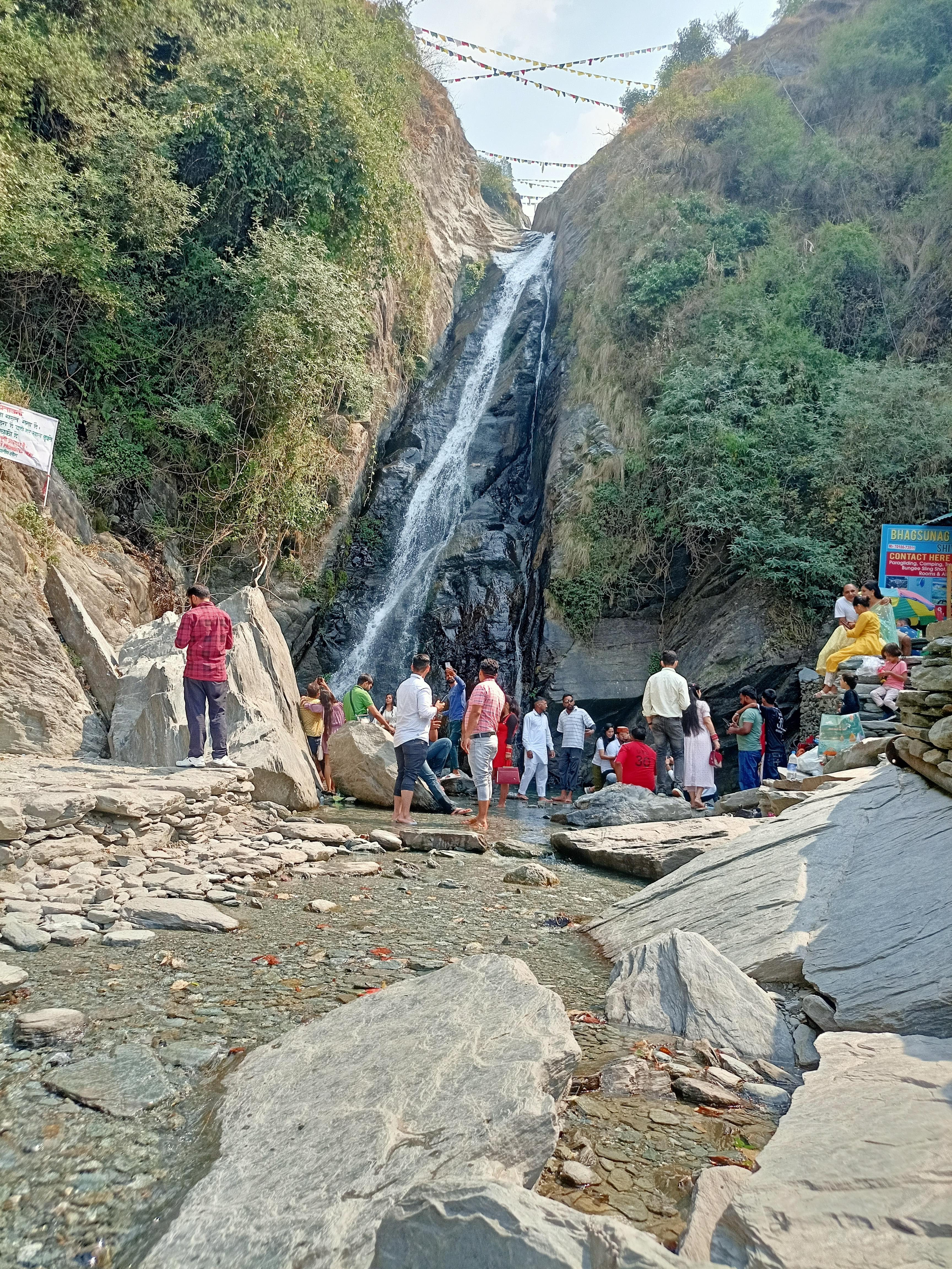
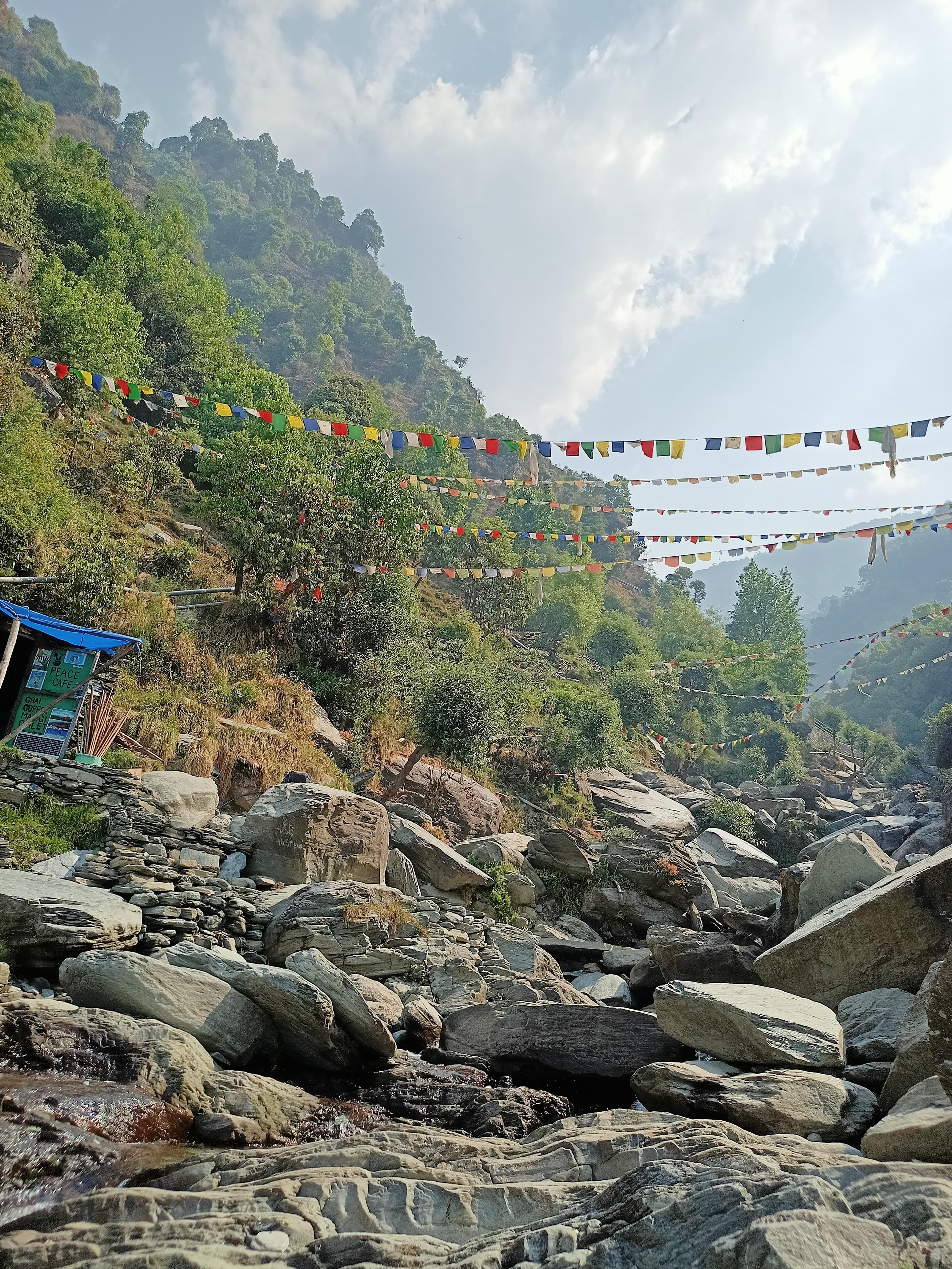
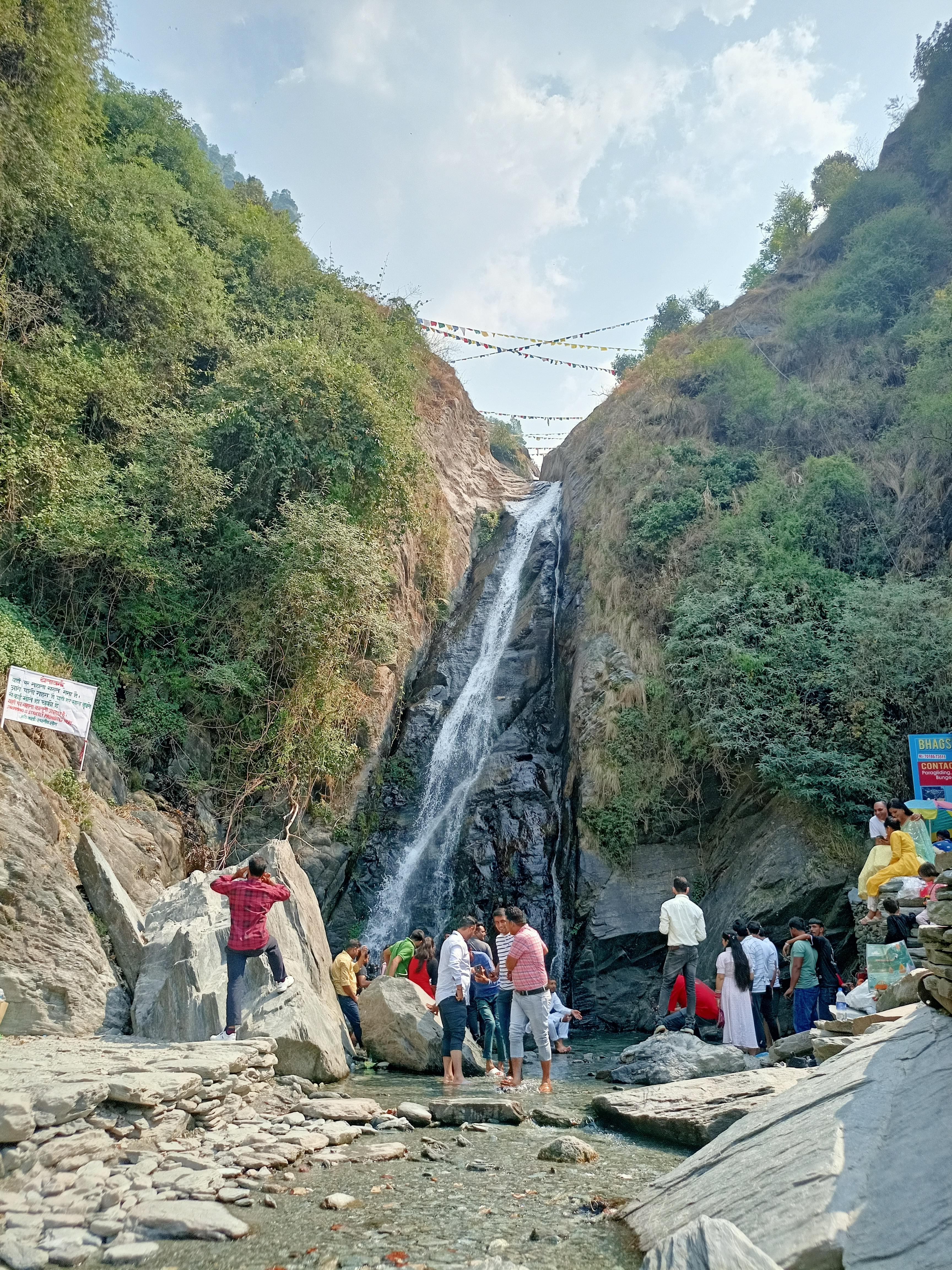
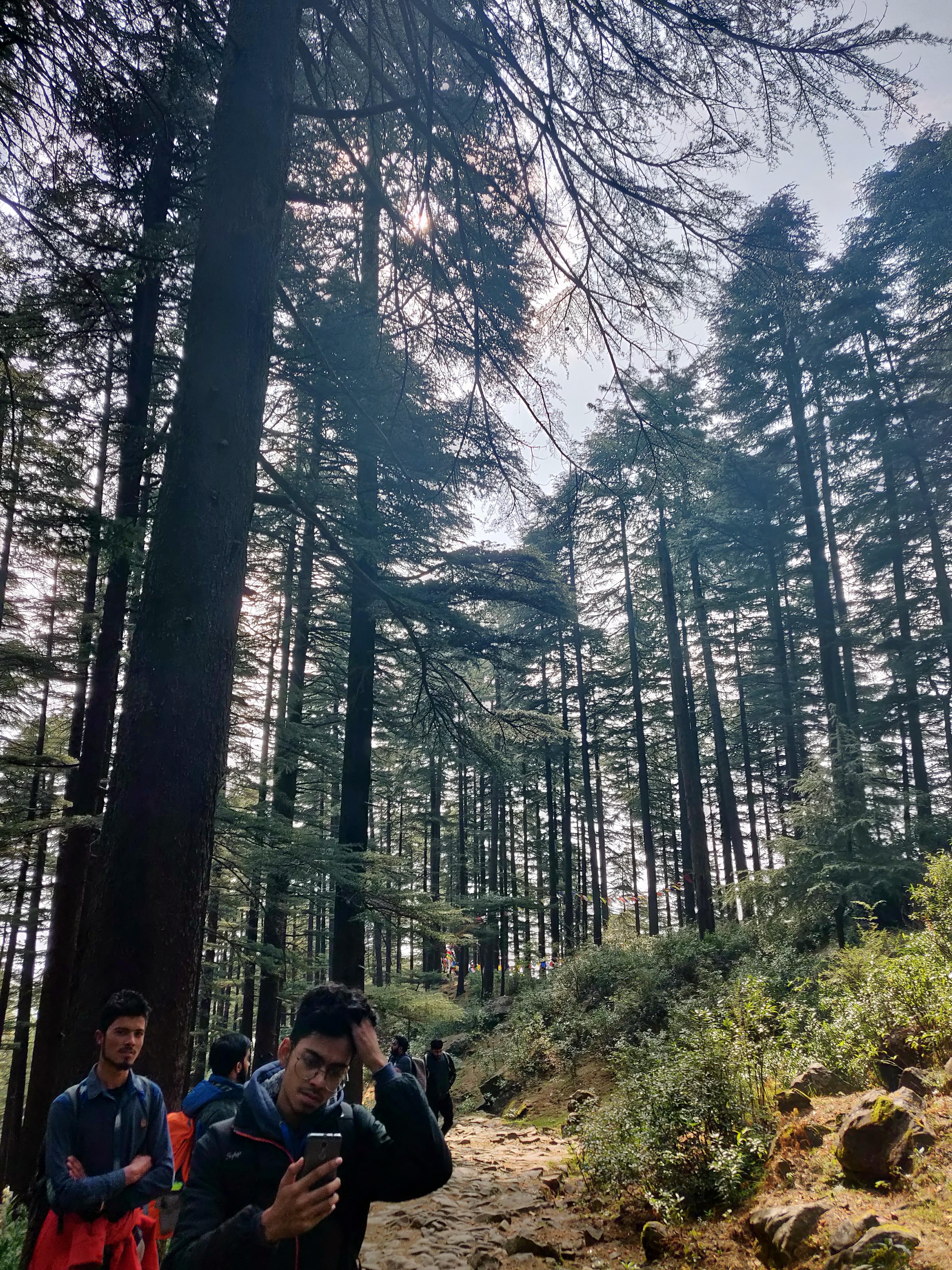
Extending up to a length of 13 kilometers, the Laka Glacier Trek is a long-weekend trek, known for its surreal sceneries. The trek starts from Bhagsu Nag and features a steep trail towards Triund, passing through deodar, rhododendron, and oak forests.
Upon reaching the huge alpine meadow of Triund Top, the trekkers will be greeted by the rewarding views of the Dhauladhar ranges and the Kangra Valley. The trek from Triund Top to Laka Glacier will take the hikers along glacial Moraine, offering them even clearer sights of the mighty Dhauladhar as they ascend.
Difficulty Level: Easy to moderate
Duration: 3 days
Maximum Altitude: 9,500 feet
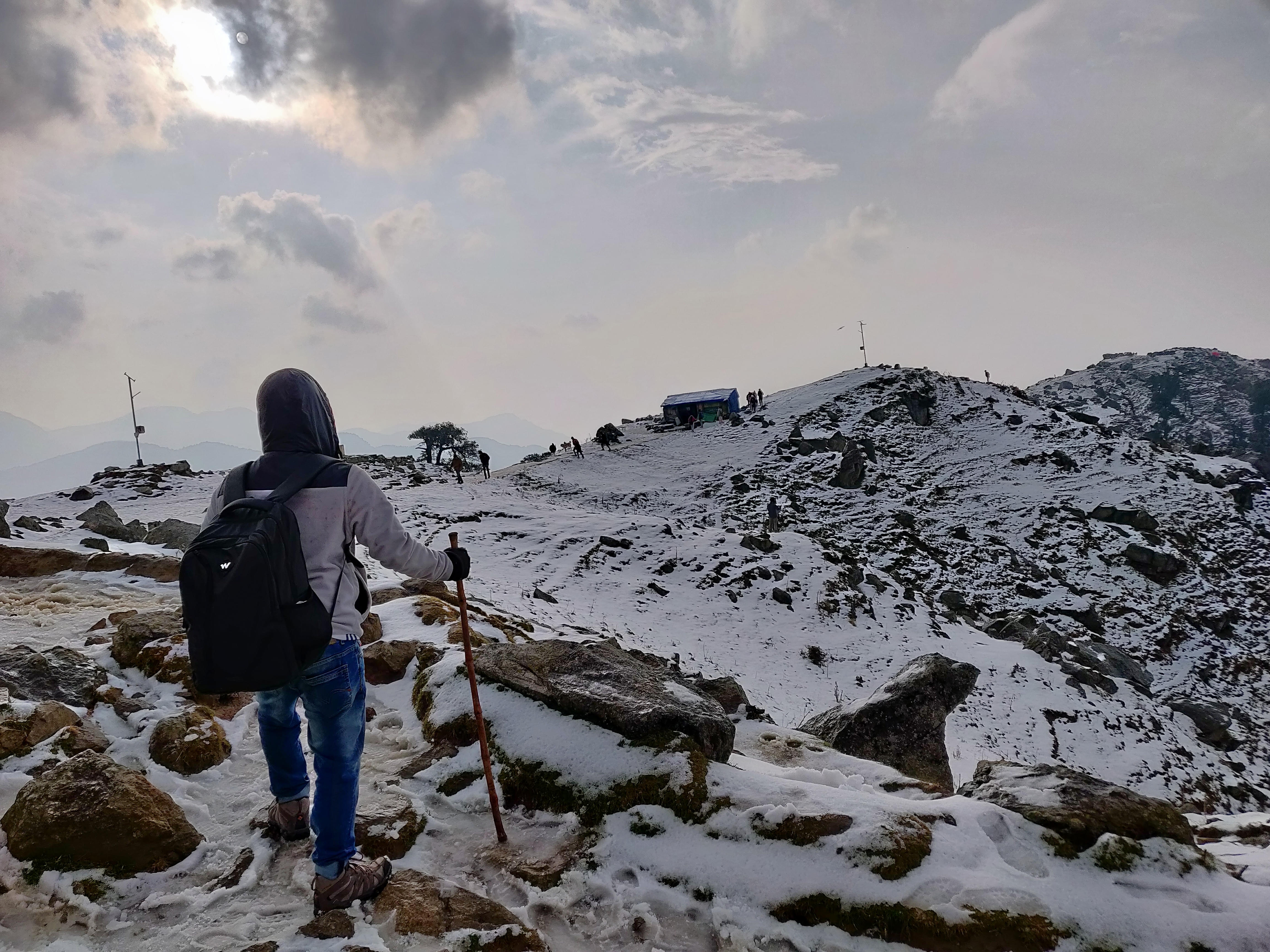
7. Triund Trek:
With a total length of 9 kilometers, Triund trek is one of the easiest treks in Himachal, which is very suitable for beginners. Starting from either McLeodGanj or Dharmkot, the trek leads you to the spectacular Bhagsu Nag. Passing through breathtaking forests of oak, deodar, and rhododendrons, the trail has a total of 22 curves.
Offering spellbinding views of the majestic Dhauladhar range on one side and the verdant Kangra Valley on the other, this beautiful trek rewards the hikers at each step. Triund trek gets the maximum number of trekkers during the months of September to November and March to June.
Difficulty Level: Easy
Duration: 2 days
Maximum Altitude: 2,850 meters
8. Indrahar Pass Trek:
Offering enchanting scenery, Indrahar is a pass in the majestic Dhauladhar mountain ranges. Starting from Dharamkot or Bhagsunag, the Indrahar pass trek passes through Golu Devta temple and thick deodar vegetation, before becoming steeper and entering huge expanses of oak and rhododendron forests. Further in the trek, the trekkers will come across the age-old Lahesh Caves and panoramic views of the magnificent Kangra Valley.
Other important attractions that the hikers are likely to witness while doing this trek include a myriad of meandering mountain streams and awe-inspiring snow bridges. Owing to the easy availability of excellent camping sites, Indrahar Pass Trek makes for one of the most prominent trekking places in Himachal Pradesh among backpackers.
Difficulty Level: Moderate
Duration: 4 days
Maximum Altitude: 14,245 feet
9. Prashar Lake Trek:
The very popular Prashar Lake Trek is nestled in the Kullu Valley and encircled by the gigantic Dhauladhar ranges. This charming trek allures maximum number of trekkers with its stunning 180 degree panoramic views of the Kinnaur, Pir Panjal, and Dhauladhar ranges. Known as one of the best winter trekking places in Himachal, this trek offers two routes, with one starting from Jwalapur Village and the other passing through Baggi Village.
Leading the trekkers through quaint villages and breathtaking forests, the trek lets them get a sneak peak into the rich local culture. One of the primary places of interest in the trek is the Prashar Rishi temple, which is famous for its mesmerizing Himachali architectural design and this is one of the best trekking places in Himachal pradesh.
Difficulty Level: Easy
Duration: 1 to 2 days
Maximum Altitude: 8,960 feet
10. Tosh Valley Trek:
Perched in Kullu district and packed with lush meadows, the verdant valley of Tosh is known popularly for its unmatched scenic beauty. This 7.5 kilometers long trek starts with a narrow trail, which gradually broadens to a huge expanse of green foliage as the trekkers ascend higher. Considered to be one of the easiest and shortest treks in Himachal Pradesh, this trek has minimum chances of AMS problems and can be done even by novice trekkers.
With a plethora of decent guest houses positioned all across, Tosh Valley Trek offers convenient accommodation options, which makes for another reason for its growing popularity among the avid trekkers and this is one of the best trekking places in Himachal pradesh.
Difficulty Level: Easy
Duration: 4 to 5 hours
Maximum Altitude: 7,874 feet
Himachal Pradesh Trekking Packages
Best Trekking Destinations
Our Partners
Newly Added Experiences
Tourism Board Alliances
Himachal Pradesh Trekking FAQs
Which month is best for trekking in Himachal?
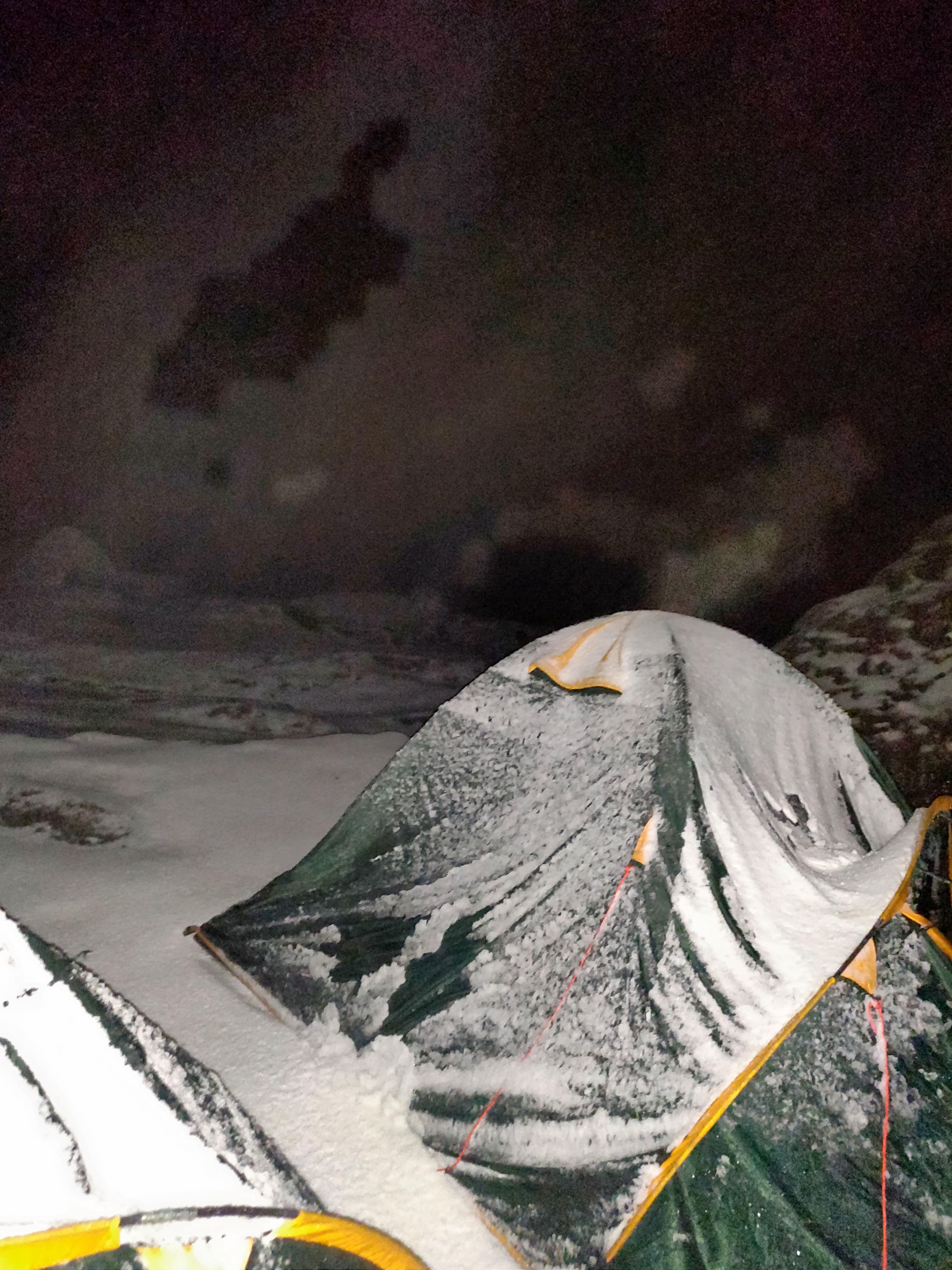
The best time to trek in Himachal Pradesh is from February to June, during the spring and summer. This time is perfect because the weather is pleasant, and many tourists visit during this period. If you love snow, you can go trekking from October to February, which is in winter. But remember, it's crucial to be careful of frostbites and altitude sickness and also be prepared for possible route blockages due to heavy snowfall.
What is the best time to visit Himachal Pradesh for trekking?
What is the cost of trekking in Himachal?
The cost of trekking in Himachal Pradesh can vary depending on factors like the duration and difficulty of the trek. Trekking in Himachal price usually range from INR 6,500 to INR 53,235 for different treks. This cost may include expenses like guides and permits. Thrillophilia can help you plan your trekking adventure and ensure a peaceful and enjoyable experience.
What is the average temperature of Himachal Pradesh while trekking?
During the trekking season in Himachal Pradesh, the average temperature can vary depending on where and how high you are. In lower areas, like valleys, the temperature during the day can be around 10°C to 15°C, and at night it can drop to 3°C to 5°C. As you climb higher up the mountains, it gets colder, so wearing warm clothes and carrying the right gear is important.
Which are the easy treks to do in Himachal?
1. Hampta Pass Trek: Travelling across lush green valleys and thick forests, the Hampta Pass trek is among the most scenic treks in the Himachal. The route here is fairly easy as well, and can be attempted by beginners and experts alike.
2. Prashar Lake: One of the easiest treks for beginners, Prashar Lake is a quaint glittering lake in the heart of the Himachal. The road to the lake is peppered with fantastic views of rushing rivers and scenic Meadows. Camping is also a popular activity here.
3. Triund Trek: Snaking its way across the Himachali curves, Triund Trek is a popular trek among beginners. The route is known to command some excellent views of the surrounding mountains.
4. Bhrigu Lake Trek: One of the least explored routes in the Himachal is the trek to Bhrigu Lake. Located at an elevation of about 14,000 feet above sea level, the sacred lake attracts trekkers to itself throughout the year.
5. Kareri Lake Trek: Making its way across thick pine thickets, the Kareri Lake trek is an offbeat route in the Himachal.
Checkout: Himachal Pradesh Tour Packages
Which are the moderate treks in Himachal?
1. Beas Kund: The trek to the source of the river Beas has always been a popular trek in the Himachal area. Travelling across open Meadows and forests, the route here is known to command excellent views of the surrounding snow capped peaks.
2. Chandranahan Lake Trek: Located at an elevation of about 14,000 feet above sea level, a trek to the Chandernahan Lake is always an adventurous one. The scenic route to the lake is known for its views of Meadows, forests and other smaller alpine lakes.
3. Rupin Pass Trek: Shaking it's way across hanging villages and lush alpine forests, the Rupin Pass Trek is one of the most beautiful yet moderately challenging trekking routes in the Himachal region.
4. Buran Ghati Trek: A fairly new trek in the Himachal, the Buran Ghati trek travels across some of the most picturesque regions in the mountains. Meandering across Meadows and waterfalls, this trek is an absolute must try.
Checkout: Shimla Tour Packages
Which are the best treks to do in Himachal in summer?
1. Tosh Valley Trek: Travelling across the village of Parvati, the Tosh Valley treks presents to you the marvels of Himachal’s summer beauty. The trek snakes its way through beautiful forests in bloom to reach the river Tosh, which is an offshoot of the Parvati River.
2. Sar Pass: One of the most popular summer treks in the Himachal, this route travels across the famous Sar Pass in Kullu. Located at an altitude of 14,000 feet above sea level, the Sar Pass trek is regarded as one of the best high altitude trekking routes here.
3. Kheerganga Trek: The highest camping spot in Kasol, the trek to Kheerganga is said to be one of the most visually stunning ones. The route boasts of some amazing views of the surrounding snow-capped mountains.
4. Khauli Pass Trek: One of the most untrodden paths, the trekking route to Khauli Pass prides in its marvelous beauty. Apart from the panoramic mountain views, the Khauli pass route also boasts of some spectacular sunrise views.
5. Hampta Pass: Joining the valleys of Kullu and Manali, the Hampta Pass is one of the most popular trekking destinations in the Himachal. Although this trek can be attempted in all seasons, summer is the best time to witness the meadows and forests here in full bloom.
Which are the best winter treks in himachal?
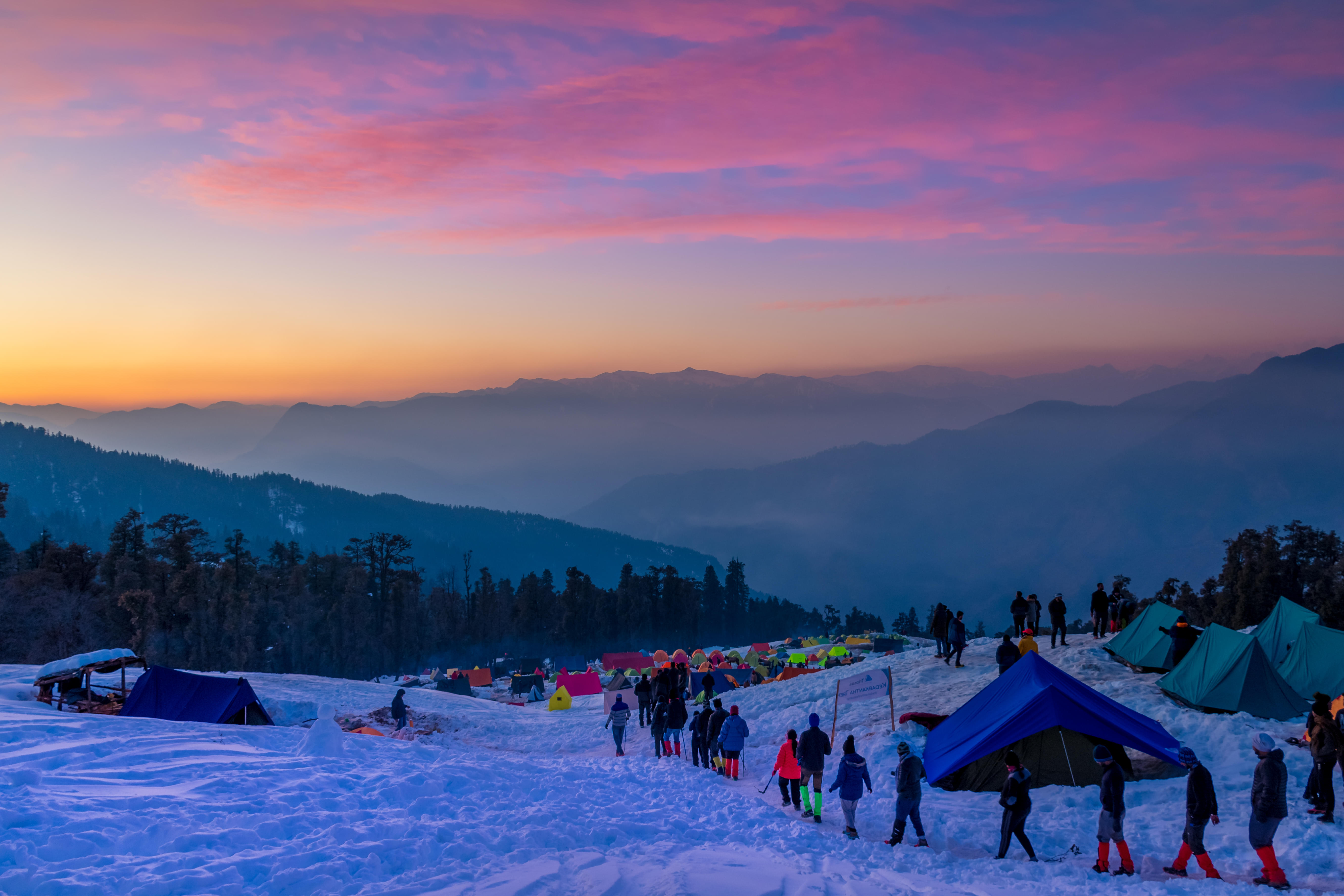
1. Triund And Laka Glacier Trek: Located at an elevation of about 2850 m above the sea level, it is an enchanting trek that is packed with loads of adventure. Heading over to this place in the winter season, you will be able to enjoy a calming atmosphere in the midst of alluring natural beauty. You will definitely be able to make some blissful memories capturing the views of deodar, oak, and rhododendron trees in the green snow-clad mountains during winters.
2. Kareri Lake Trek: Kareri Lake Trek is a captivating trek that lets you spend time close to nature in the middle of rich forests during the winter season. You will pass through some of the narrow terrains and unrealistic meadows making everlasting memories with your loved ones. You will also get a chance to witness the snow fall on the peaks as well as icy waters of the lake.
3. Malana Village Trek: Malana Village Trek happens to be a captivating trek that takes you through one of the oldest villages in India. You will get to spend some time in an enchanting winter atmosphere witnessing the foggy morning hours as well as crisp mountains.
Which are the best monsoon treks in Himachal Pradesh?
2. Beas Kund Trek: Beas Kund Trek is a popular trek that is located close to Manali. The trek takes you around some of the grand peaks like Hanuman Tibba, Friendship Peak, and Seven Sisters. During the monsoon season, the route to the summit might be a bit challenging but you will be able to enjoy the pristine views to the core.
3. Pin Parvati Trek: Pin Parvati Trek happens to be located at an elevation of 7500 ft above the sea level and it is one of the oldest treks in the Himalayan Mountain Ranges. It is popularly called as the Valley of Gods’. Heading over to this trek, you will come across the Great Himalayn National Park as well as witness the mystical valleys.
Which are the best treks in Himachal for beginners?
1. Prashar Lake Trek: The Prashar Lake Trek is one of the enthralling treks in Himachal Pradesh that can be complete in just 4 - 6 hours. You will get to enjoy the 180 degree view of the Pir Panjal, Kinnaur, and Dhauladhar Mountain Ranges. Apart from all these, anyone taking the Prashar Lake Trek would also come across some old timey architecture.
2. Triund Trek: Triund Trek is one of the most sought after beginner level treks in Himachal Pradesh that is widely famous for its 22 steep curves and the charming Dhauladhar Ranges. It is accessible all throughout the year but the beauty of the area intensifies in the winter season. You can book for Himachal trekking packages during the winter season to enjoy the snow as well as snow capped mountains at their best.
3. Bhrigu Lake Trek: Bhrigu Lake Trek can be considered as one of the best treks to start with in Himachal Pradesh with beginners. This three day trek will take you to the high alpine glacial lake located at an altitude of 14000 ft above the ground. You will pass through some of the wonderful meadows and some of the marvellous peaks like Seven Sister and Deo Tibba.
Which are the lake treks in Himachal Pradesh?
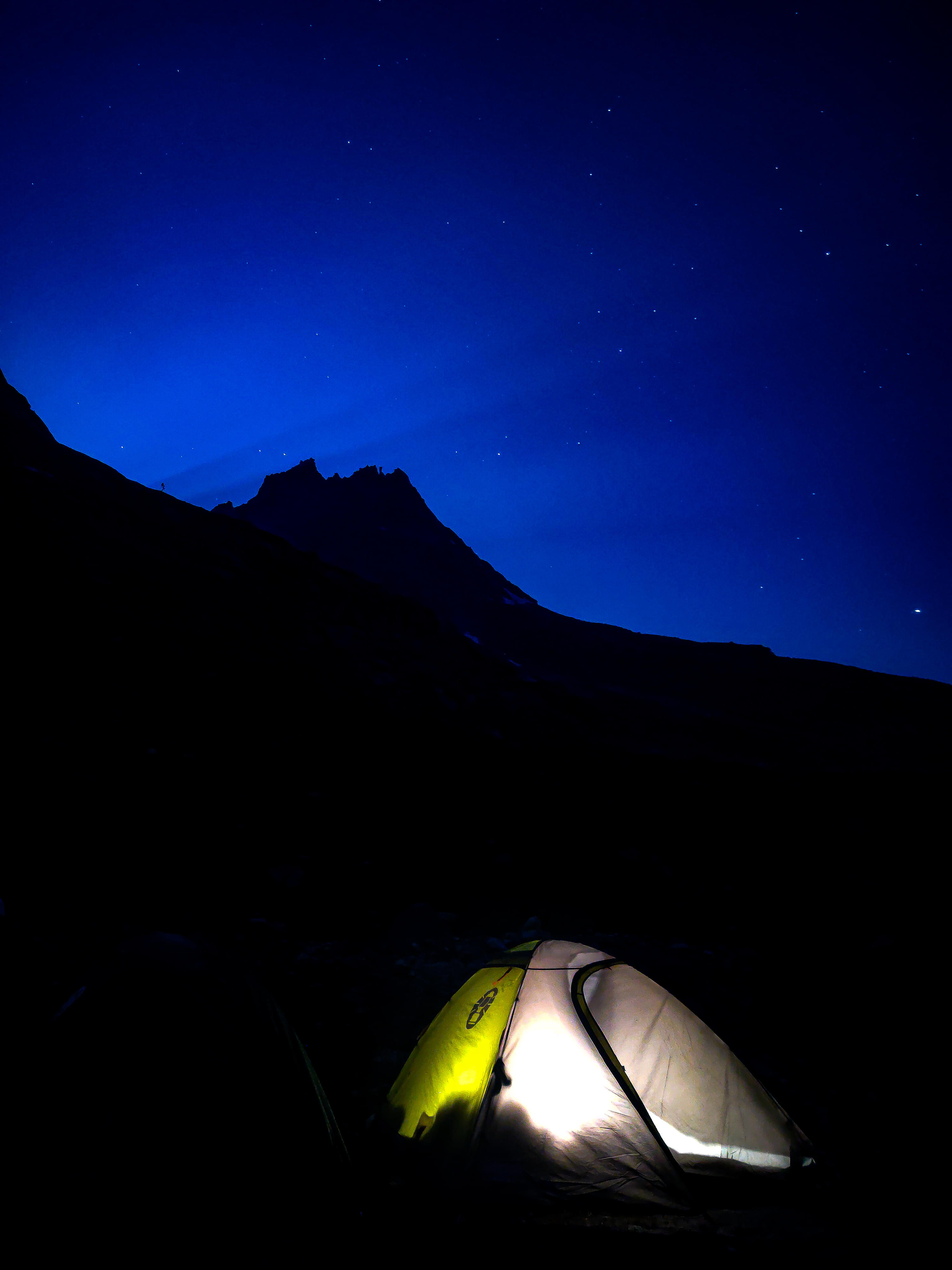
Chandratal Trek: Literally meaning ‘Lake of the Moon’, Chandratal is a unique crescent-shaped lake, lying amidst the arid Spiti Valley. Trekkers doing the Chandratal trek love to enjoy lakeside camping while gazing at the twinkling starry skies.
Bhrigu Lake Trek: Bhrigu Lake Trek attracts a plethora of devotees, owing to the popular belief that this place once served as the abode of Bhrigu Maharishi. The trekkers are suggested to do the trek before June as the Bhrigu Lake starts freezing by then.
Prashar Lake Trek: Leading the trekkers to the serene Prashar Lake, the peaceful Prashar Lake Trek is known popularly to offer stunning 180 degrees panoramic views of the mighty Pir Panjal and Kinnaur ranges.
Kareri Lake Trek: Tucked in Kangra district, the Kareri Lake Trek takes the hikers through breathtaking chilgoza and chir pine forests, before landing them up at the picturesque Kareri Lake. This 3 days long trek offers a moderate trail and is suitable for both novice and experienced trekkers.
Which are the best sites for camping near Shimla?
Snow trails camp: Staying true to its name, this campsite will provide you with a chance to gaze at the mesmerizing scenery of snow capped mountains. Having a backdrop of deodar and oak trees, this location is perfect for photography enthusiasts.
Camps Jungle Livinn: Staying true to its name, this campsite will let you stay within the reaches of a forest, where you will be surrounded by wilderness. From proper restrooms to a diner, all kinds of facilities are available at this campsite.
Hail Himalayas Camps: Away from the hustle and bustle of the city, the Hail Himalayas Campsite sits overlooking the snow capped hills. Providing all basic necessities like rain covers and sleeping bags, this campsite is a top choice of leisure travellers.
Jupiter Camps: If you are looking for a campsite which offers luxurious accommodation as well as top notch facilities then look no further. Some of the amenities offered here include bonfire, barbeque, trek items, dining hall, play area and transportation service.
Is it safe to trek in Himachal Pradesh?
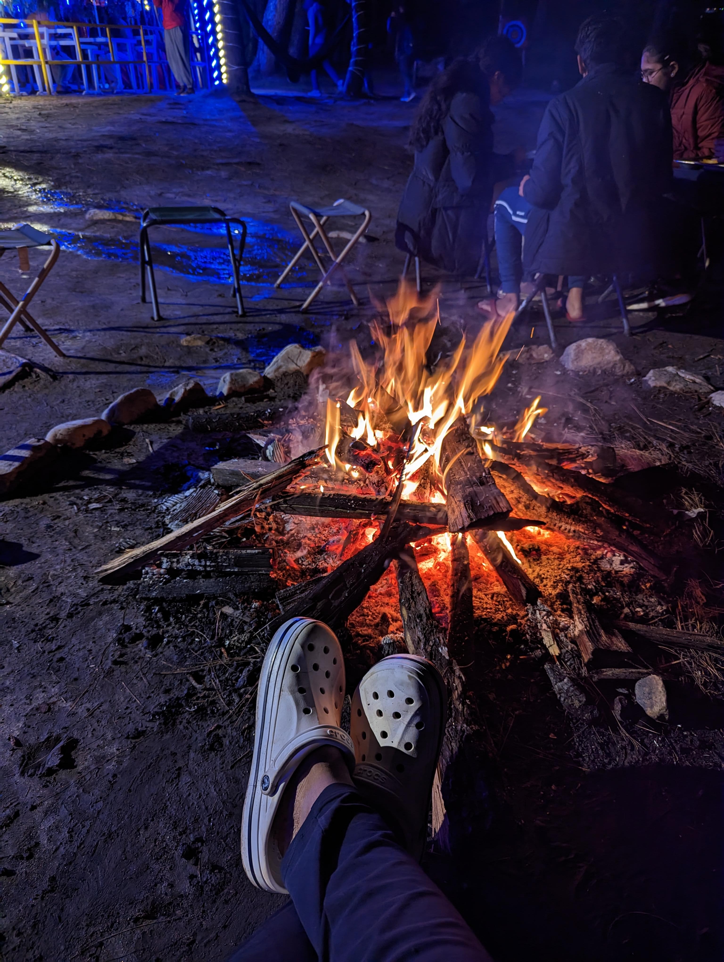
Yes, trekking in Himachal Pradesh is safe and very popular. However, there can be some risks, especially at high altitudes. To keep trekkers safe, the government marks trekking paths, provides trackers, and asks for registration before starting. There's also a system to ensure safety rules are followed during treks. It's essential for trekkers to bring the right gear, like water bottles, and follow safety tips. Hiring experienced guides is crucial, too, as they can help navigate the trek safely.
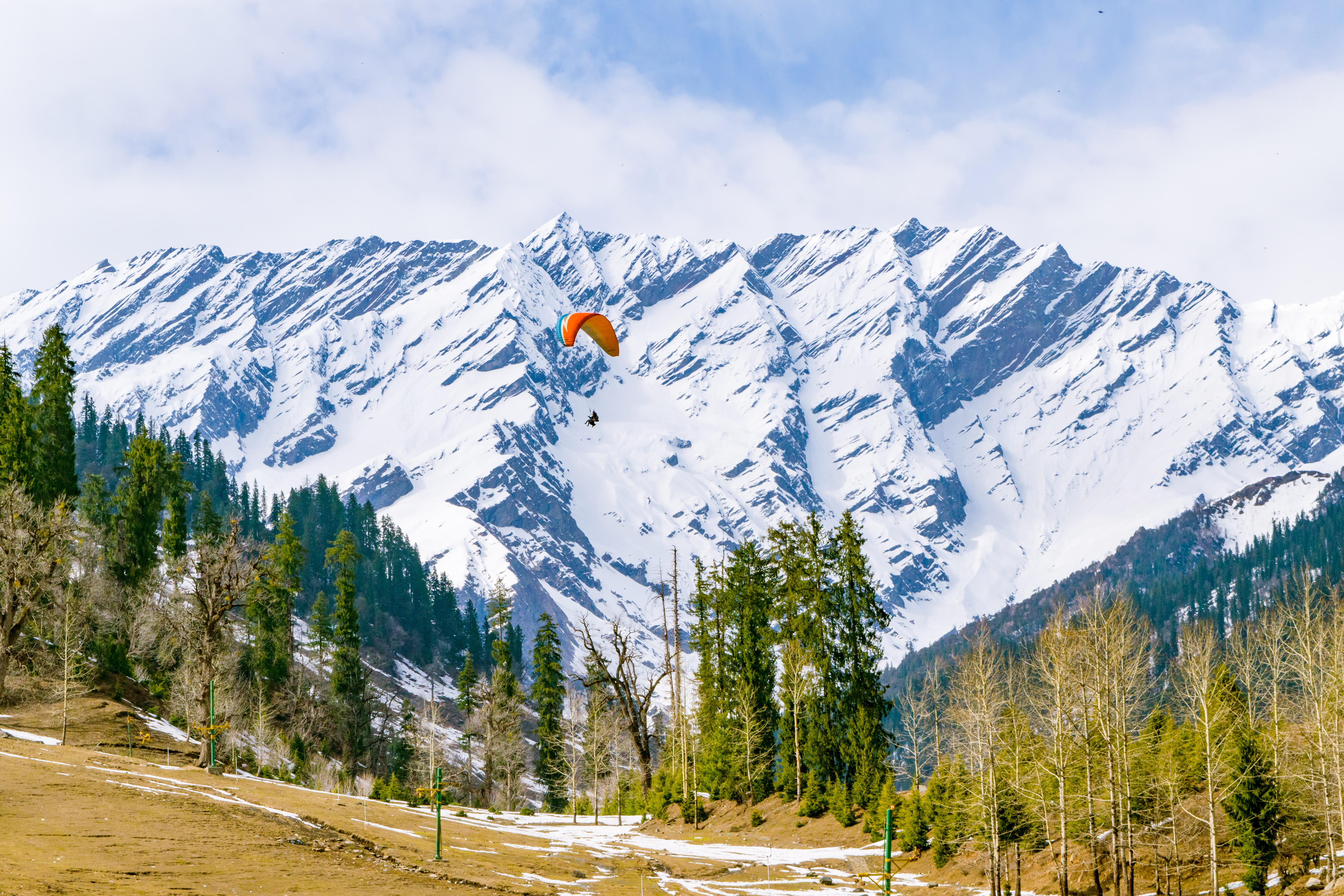
Can I do Beas Kund Trek? What sort of a trek is it?
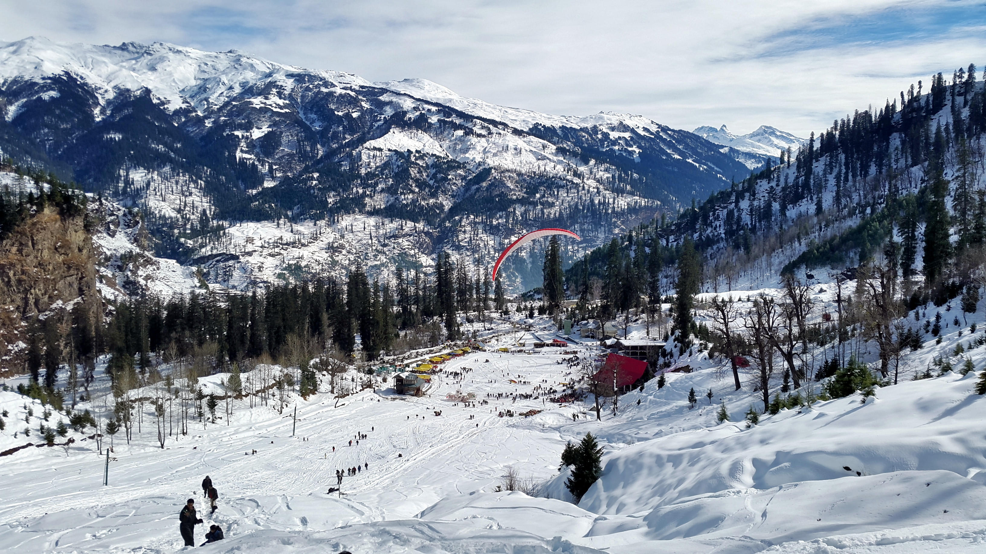
Yes, Beas Kund Trek can be easily done as it is a moderate level trek. It is an astounding short trek, where you can witness iced mountains and para gliders floating midair. The track goes through Dhundi and Bakar Thach and enters Beas Kund glacier, from where the river Beas originates.
What sort of trek is Hampta Pass Trek? How much will it cost me?
Hampta Pass Trek is a moderately difficult trek to hike and you don’t require much physical strength to climb this. The base camp of Hampta pass is Manali; get enthralled by rivers and picturesque landscape on your way up this trek. Also, Hampta Pass trek packages will cost you from 8500 INR onwards, so it is great for your soul and pocket.
Can I do the Tosh Valley Trek? What is the difficulty level?
Yes, Tosh Valley trek is a way to discover the beauty of nature and you can choose your way to climb up the Glacier. You can pursue the tracks that lead to the challenging Animal Pass or choose the steady easy climb to the Tosh Glacier.
What is special about Spiti Valley Trek? Is it a difficult trekking option?
Trekking in Spiti one daunting expedition you must go on. Get enticed by the unworldly experience and serene scenic views of Himachal Pradesh. This is situated at a height of about 4000 metres, lying between Tibet and India. Spiti Valley trek is taken as one of the challenging treks in Himachal Pradesh, with confounding trails and moonscapes.
What is Bhrigu Lake Trek? Is it worth doing it?
Bhrigu lake trek is an amazing trek to Bhrigu Lake which is situated at a height of 4300 metres and could be initiated from Vashishth temple, which is near Manali. It is almost a 2 days hike and is famous for its natural hot springs.
It is worth experiencing standing near the lake, marvelling the oval-shaped water body and enjoying the tranquillity near the lake.
How difficult is Chanderkhani Pass Trek? How many days are required to complete it?
Chanderkhani Pass Trek is quite a moderate to easy level trek, perfect for a new bee. It is a 20 km long hike, with an elevation of 3670 metres and it will take 2 to 3 days to complete it.
What sort of Trek is Kanamo Peak Trek?
Kanamo Peak trek is a 6000 m hike in the fabulous peaks of Himalayas. It is essentially a 5 day trek to Kanamo Peak, although, Chandratal trekking can be included to increase the travel time and fun.
Kibber is the default base camp, however you can start your trek from Batal to reach Kanamo summit.
Is it worth doing the Triund Trek? What sort of a trek is it?
Triund trek is one of the most wondrous treks in Himachal Pradesh. It is one of the jewels of Dharamshala valley and is quite popular among tourists.
This trek is suitable for all age groups, considerably easy in the beginning, but tourists face difficulty during the end of the trek as it has 22 curves in the last kilometre.
Is there any age restriction for trekking in Himachal?
Yes, there are age restrictions for trekking in Himachal Pradesh. The rules about how old you need to be can change depending on how hard the trek is and how long it takes. For some treks, you need to be at least 8 years old, while for others, you need to be at least 12. Make sure to ask the people organizing the trek for the exact rules before you plan your trip.
Can I do the Kareri Lake Trek? When should I do it?
Yes, Absolutely! The Kareri Lake Trek is great for both new and experienced trekkers. It starts from Ghera or Kareri village near Dharamshala, Himachal Pradesh. The best times to go on this trek are from May to July and then from September to November when the weather is pleasant.
What is special about Kheerganga Trek? When is the best time to do it?
Kheerganga is a special trek location where the trail ascends through thick pine forests to the Kheer Ganga Village. It is ringed by the Himalayan massifs and streaming rivers.
You can witness scenes of nature and enjoy a bath in natural hot springs. Also, there’s a Shiva temple situated on the peak of the hike. Best time to plan a hike is from July to October.
What is the Bhubhu Pass Trek?
The Bhubhu Pass Trek is one of the most exciting Himachal Pradesh treks. It's known for its tough paths and beautiful views. During this trek, you'll walk through distant villages, green forests, and high fields. Trekking in the Bhubhu Pass is challenging but offers a unique adventure for people who are fond of thrills.
Can I do Prashar Lake Trek? What is special about it?
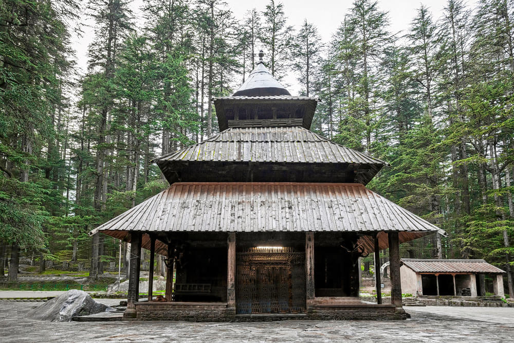
Yes, Prashar Lake trek is a beautiful hiking location in Himachal Pradesh. It is frozen in winters. Encounter the stunning views of Dhauladhar, Kinnaur and PirPanjal mountain ranges. Other than this, it is known for the famous 13th century pagoda temple located near the lake.
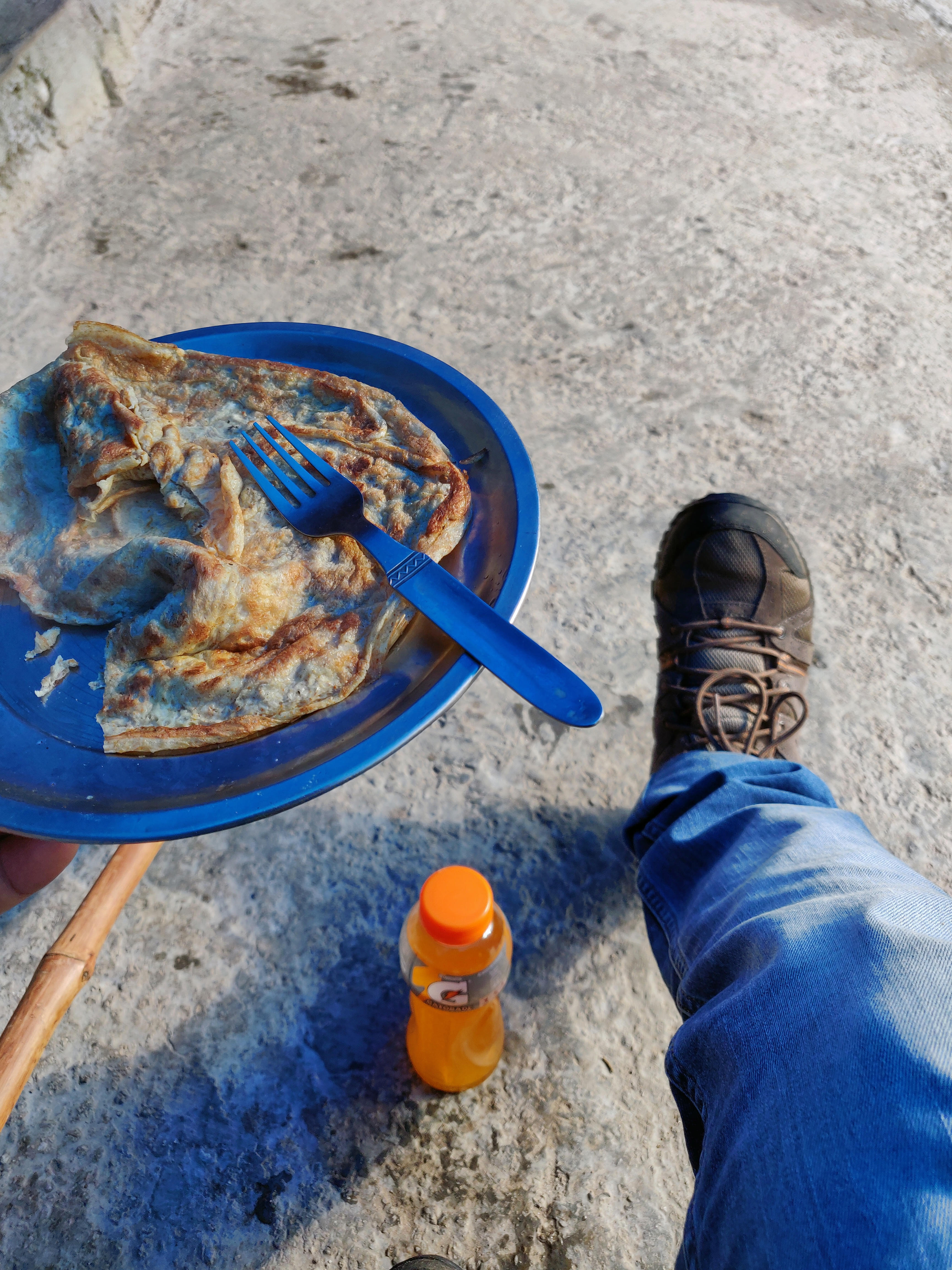
What are the things to carry while trekking in Himachal?
When trekking in Himachal Pradesh, it's essential to carry the following items:
- Water bottles & High-energy snacks
- Trekking poles
- Warm clothes & Sun hat or cap
- Sunglasses & Sunscreen
- Raincoat or poncho
- Tent and sleeping bag (for multi-day treks)
- Comfortable shoes or boots
- Personal first-aid kit
- Map and compass (for navigation)
- Flashlight or headlamp
- Multi-purpose tool or knife
- Extra batteries or power bank
- Personal hygiene items
- Insect repellent
- Emergency whistle
- Camera or smartphone (with extra memory cards and batteries)
- Local currency and important documents
Himachal Pradesh Trekking Reviews
.jpg)
.jpg)

.jpg)