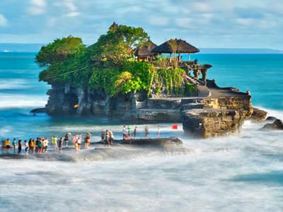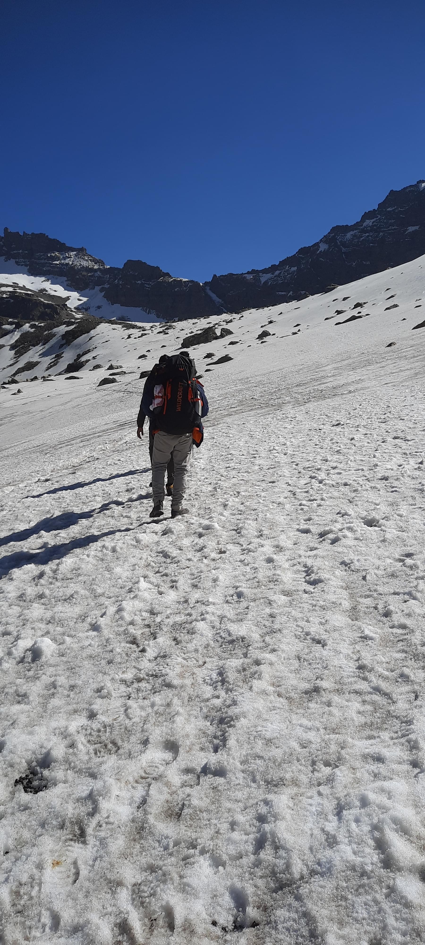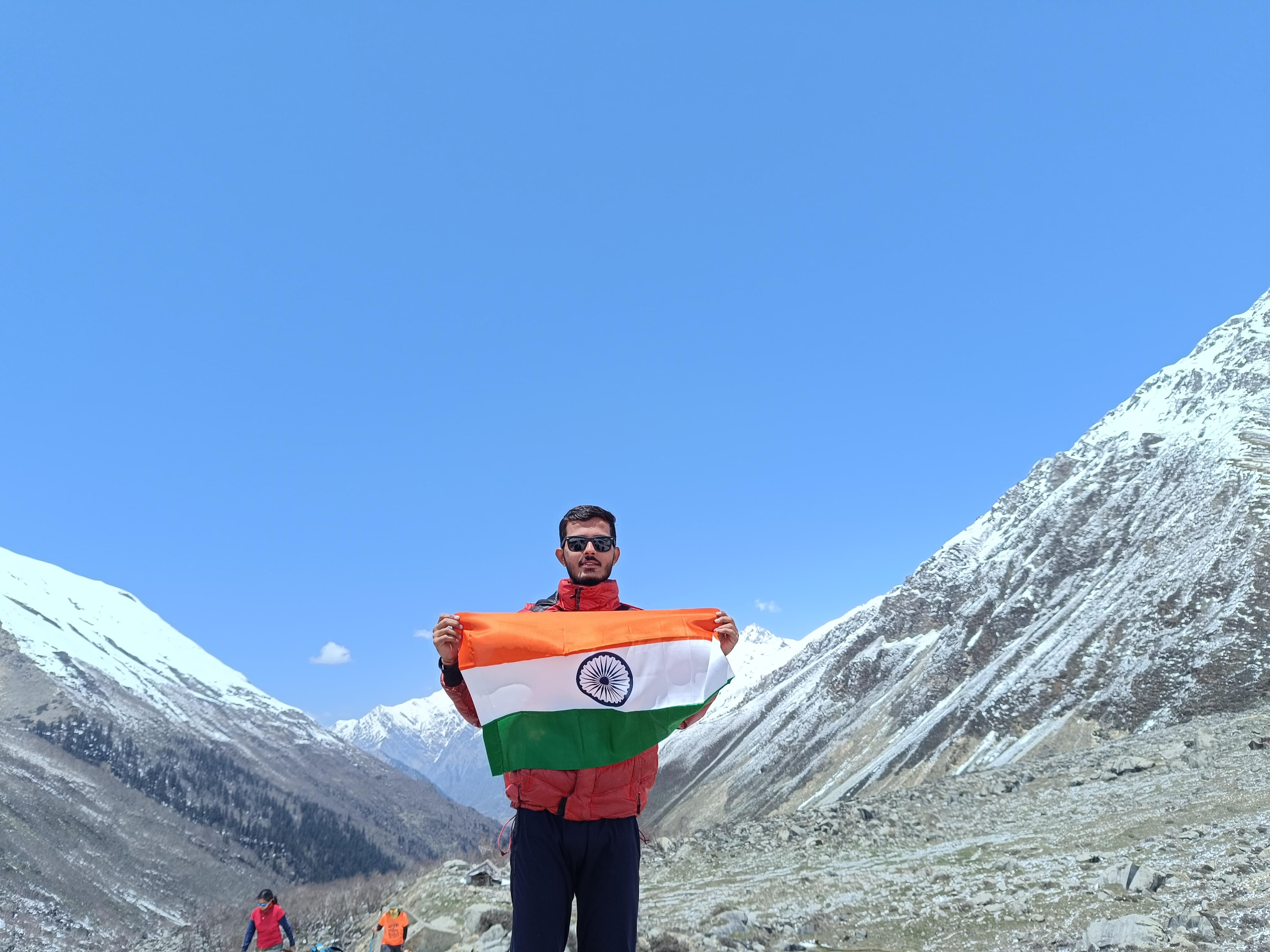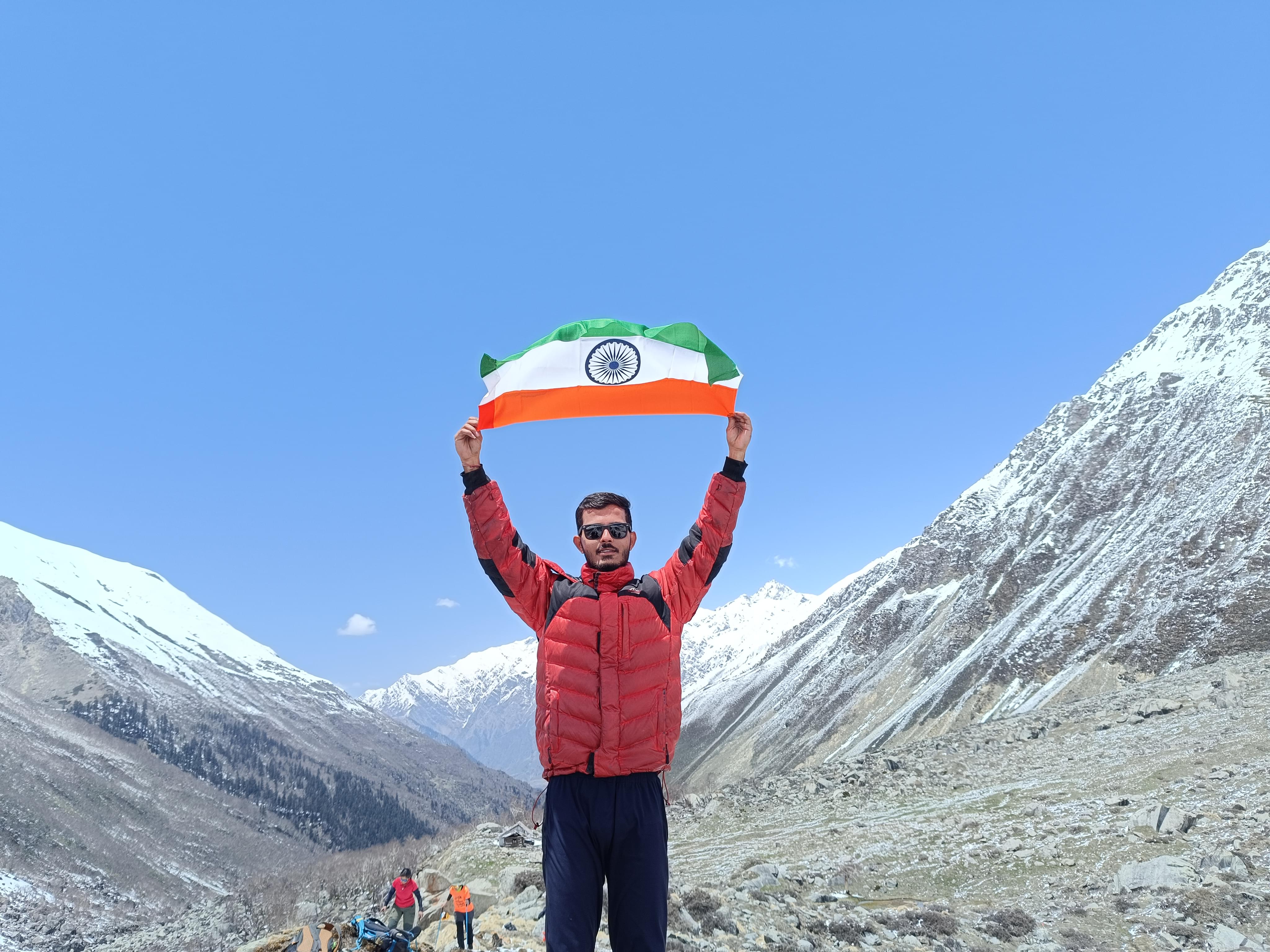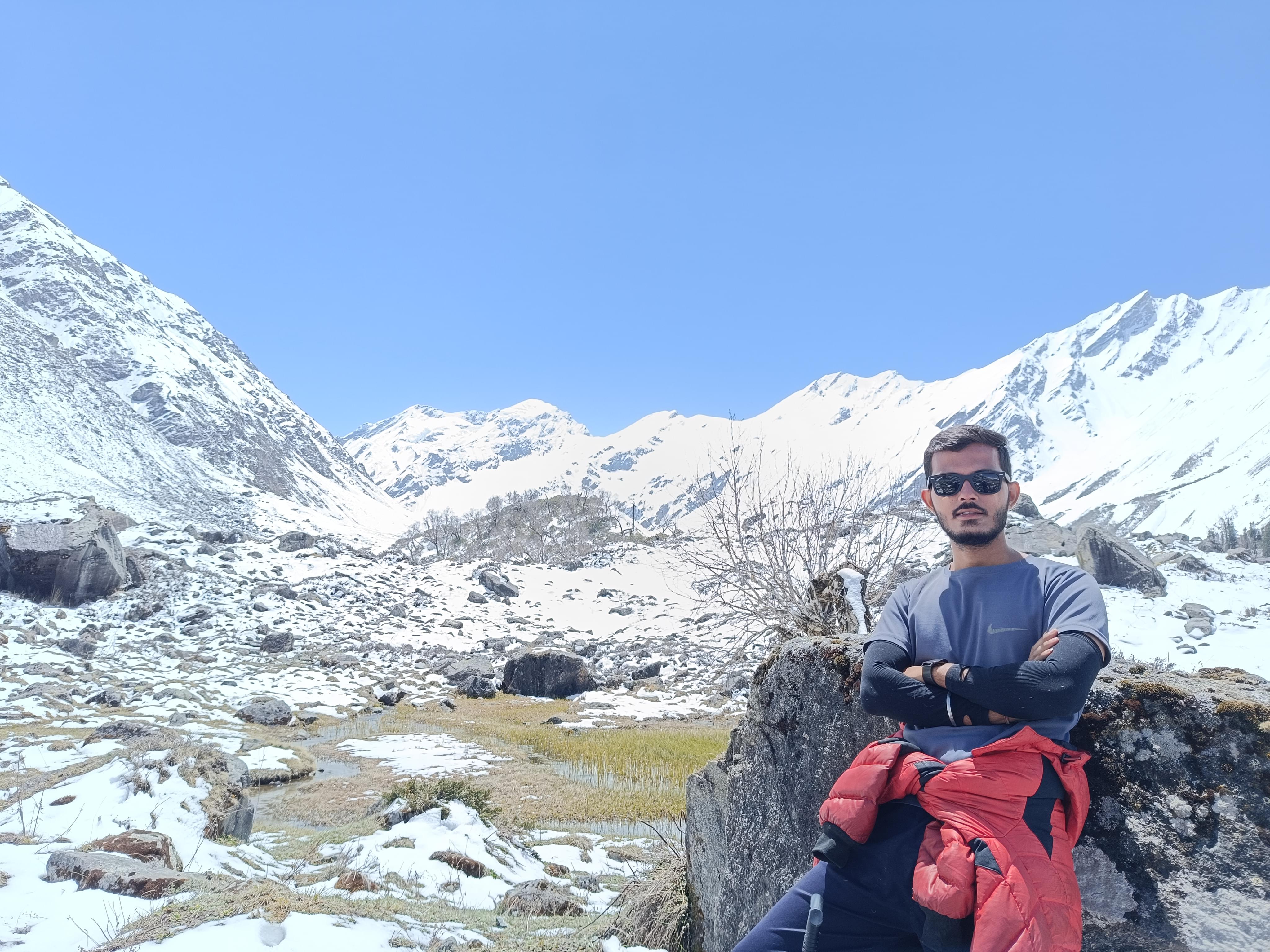
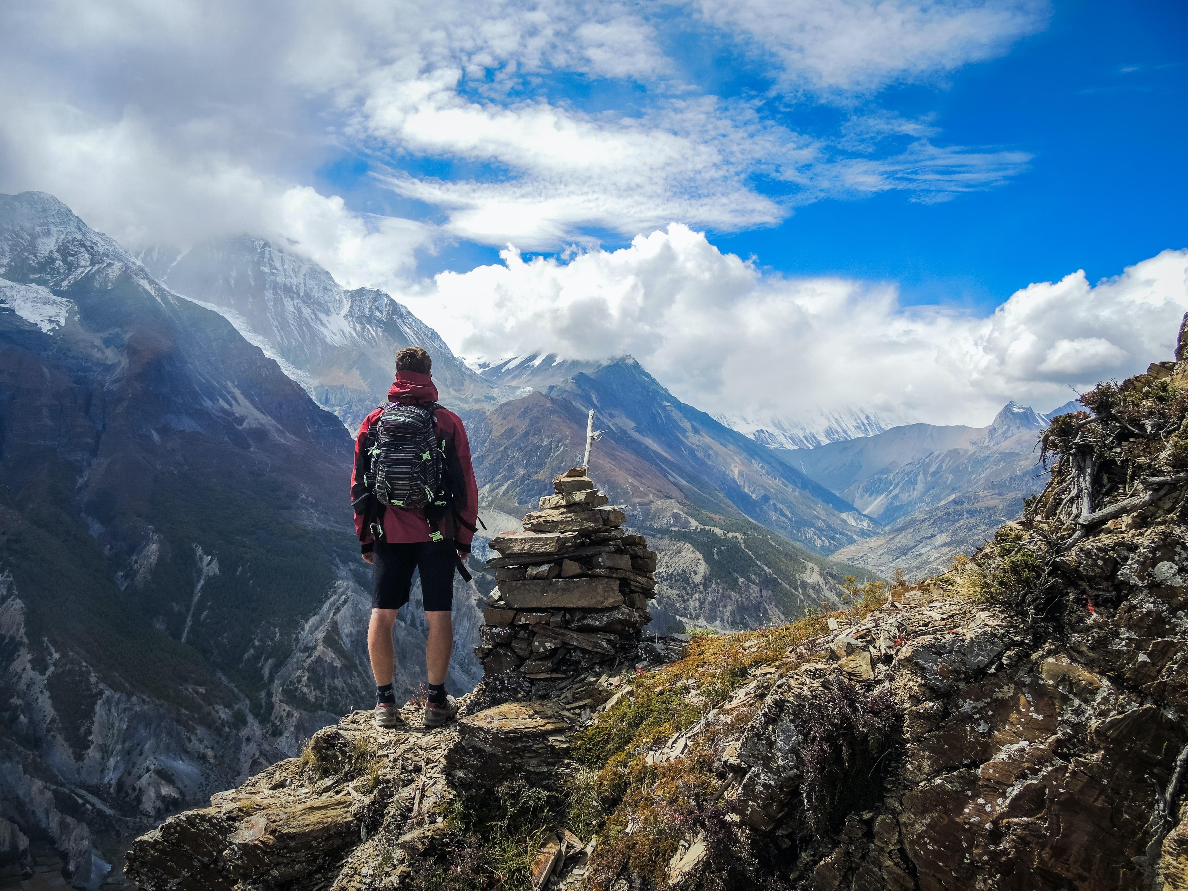
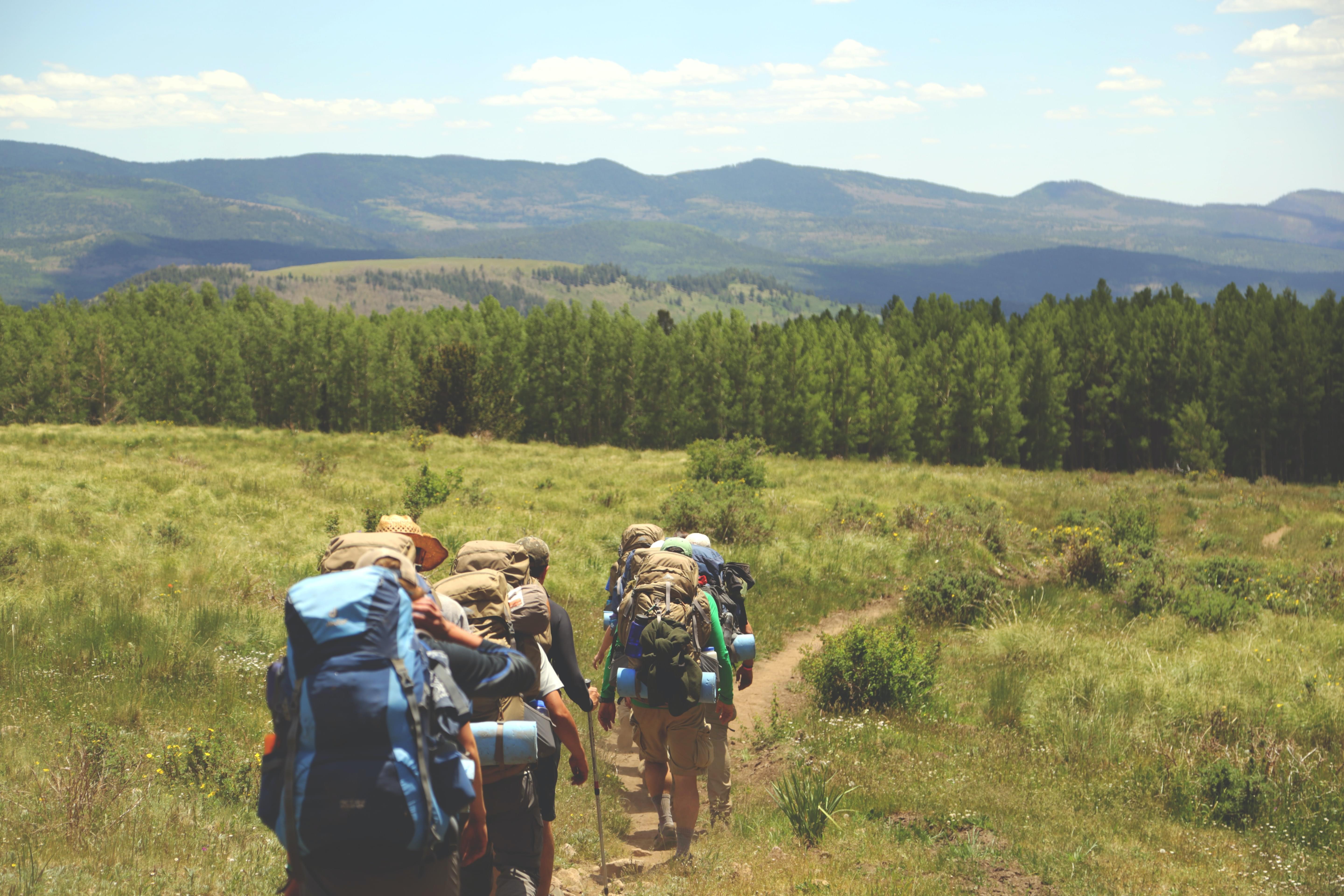
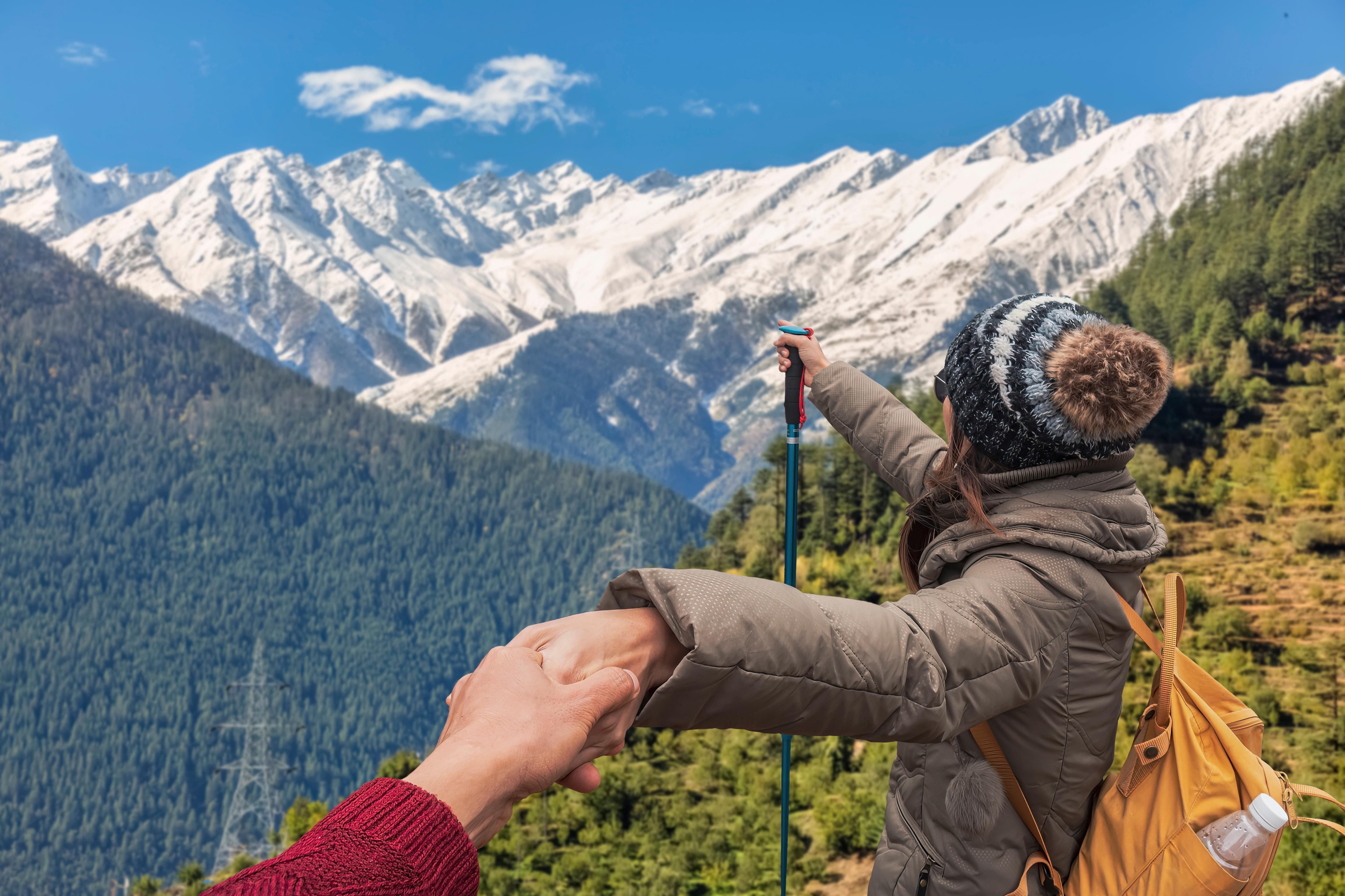
Trekking in Uttarakhand
Uttarakhand Trekking Packages | Duration | Price |
|---|---|---|
| Kafni Glacier Trek, Uttarakhand | 11 days & 10 nights | INR 13,000 |
| Auli Trek Auli Winter Trek Uttarakhand | 4 days | INR 12,700 |
| Roopkund Trek in Uttarakhand | 8 days & 7 nights | INR 13,850 |
| Audens Col Trek 2024 Uttarakhand | 16 days & 15 nights | INR 91,922 |
| Panchachuli Base Camp Trek Uttarakhand | 9 days & 8 nights | INR 30,000 |
| Pindari Glacier Trek, Uttarakhand | 9 days & 8 nights | INR 17,000 |
| Gaumukh Tapovan Trek, Uttarakhand | 8 days & 7 nights | INR 16,500 |
| Kalindi Khal Trek, Uttarakhand | 15 days & 14 nights | INR 83,800 |
| Om Parvat Trek, Uttarakhand | 13 days & 12 nights | INR 30,500 |
| Nanda Devi East Base Camp Trek, Uttarakhand | 11 days & 10 nights | INR 34,500 |
| Premium Kedarkantha Winter Trek Uttarakhand 2024 | 6 days & 5 nights | INR 9,750 |
| Trek to the Source of Ganges | 7 days & 6 nights | INR 24,000 |
Valley of Flowers Trek, Kedarkantha Trek, Kedartal Trek, Chopta Chandrashila Trek, Har ki Dun Trek, Dodital Winter Trek, Dayara Bugyal Trek, Nag Tibba Trek, Kuari Pass Trek, Pindari Glacier Trek and many more.
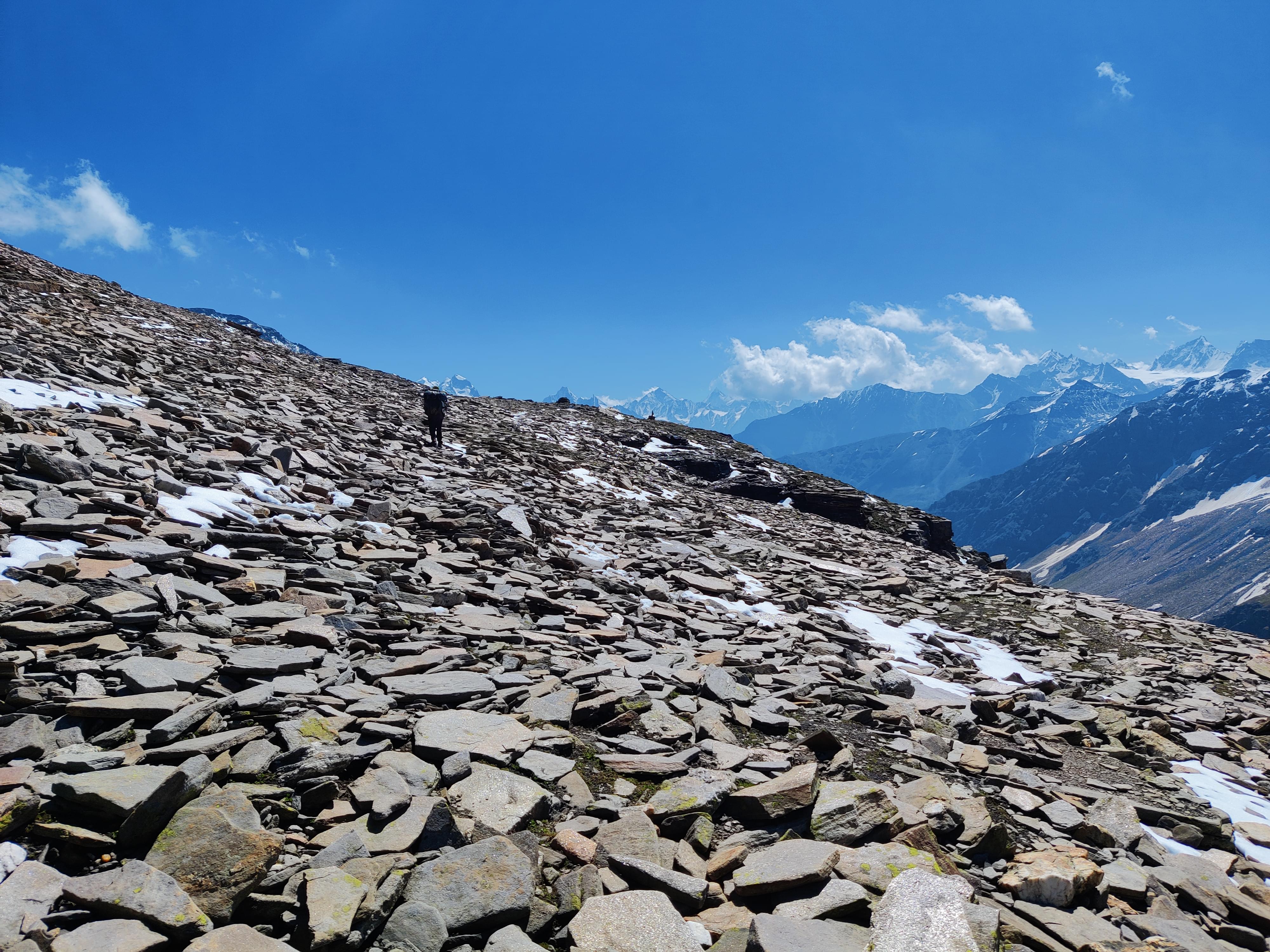
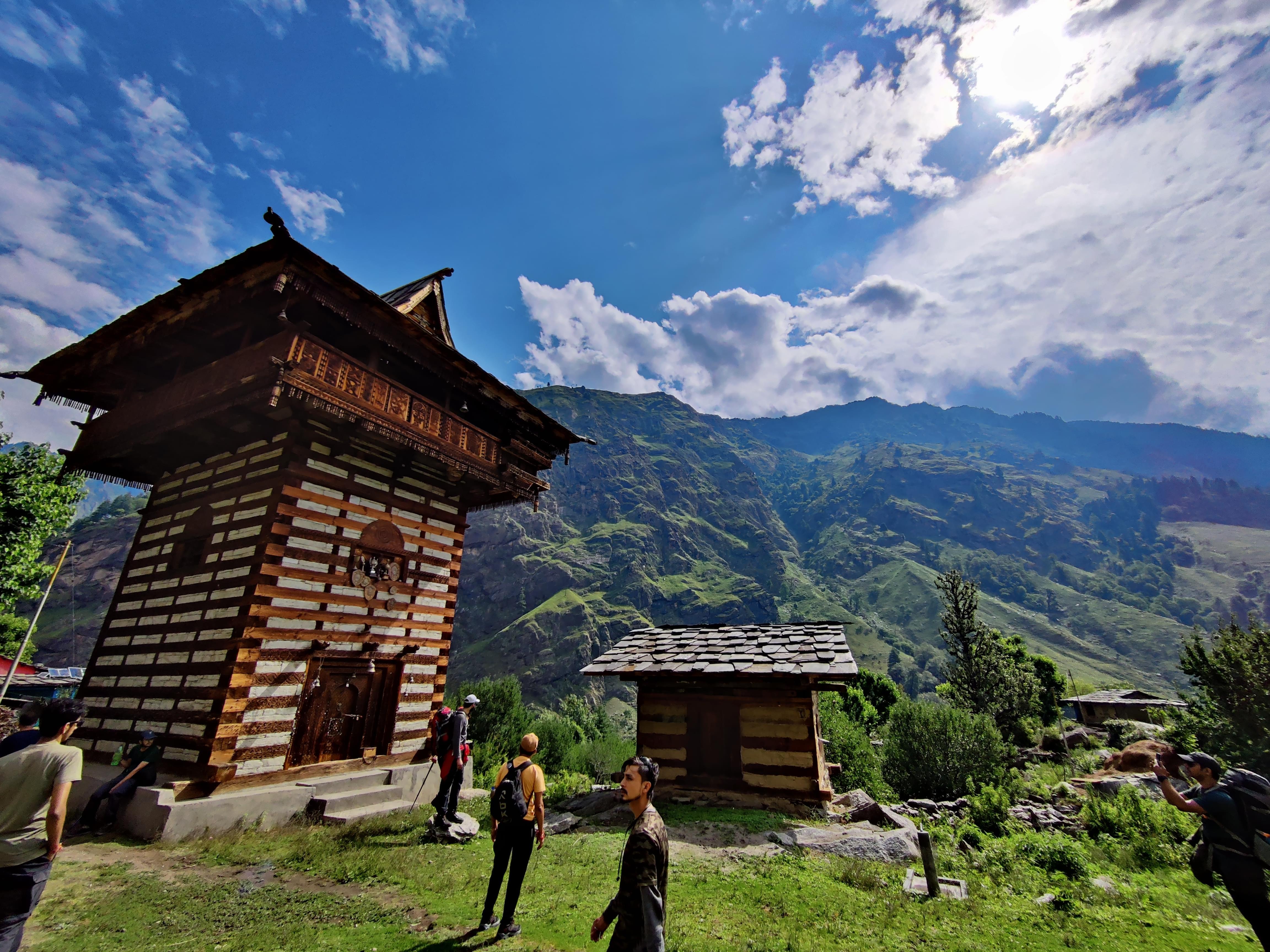
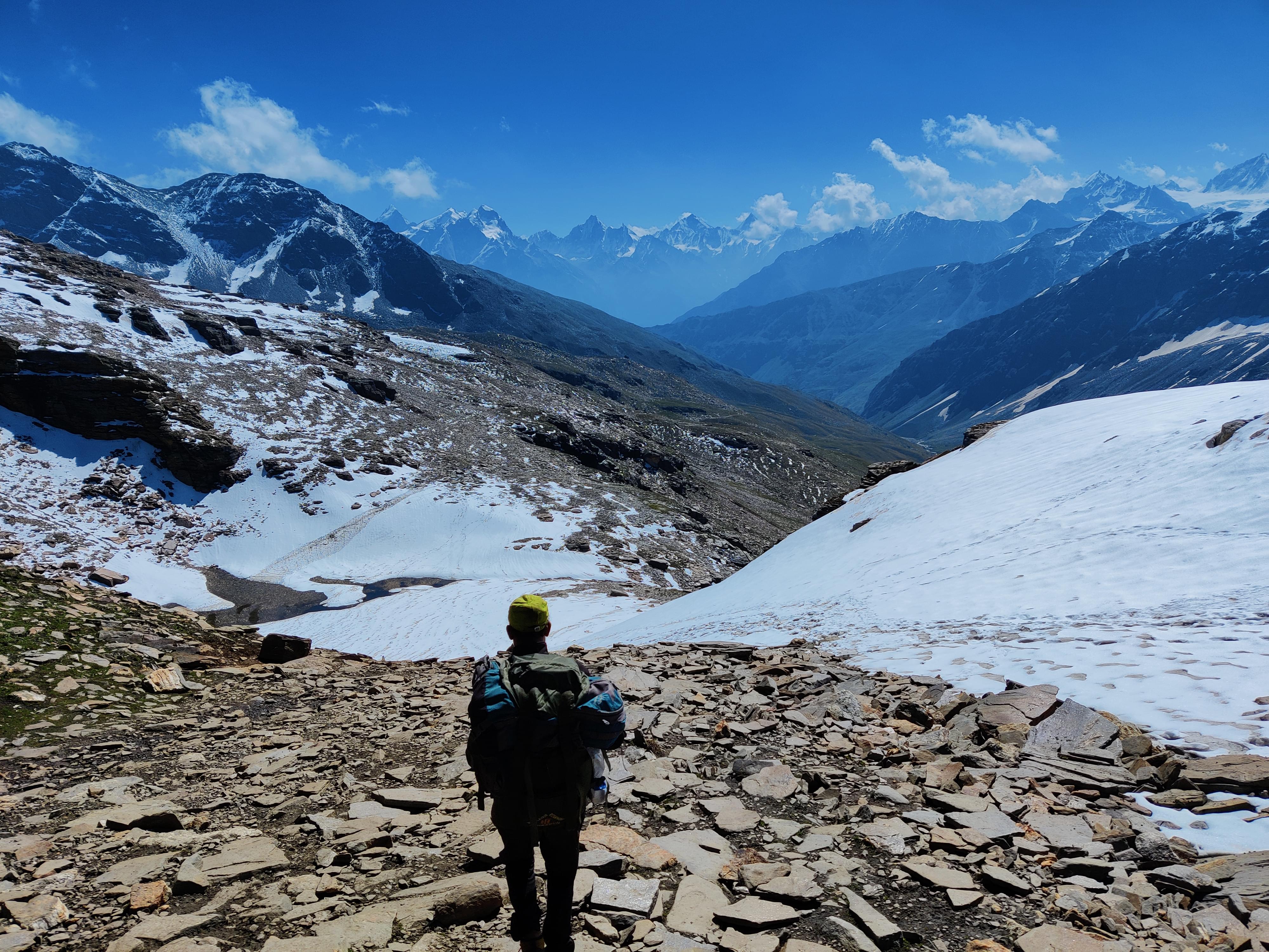
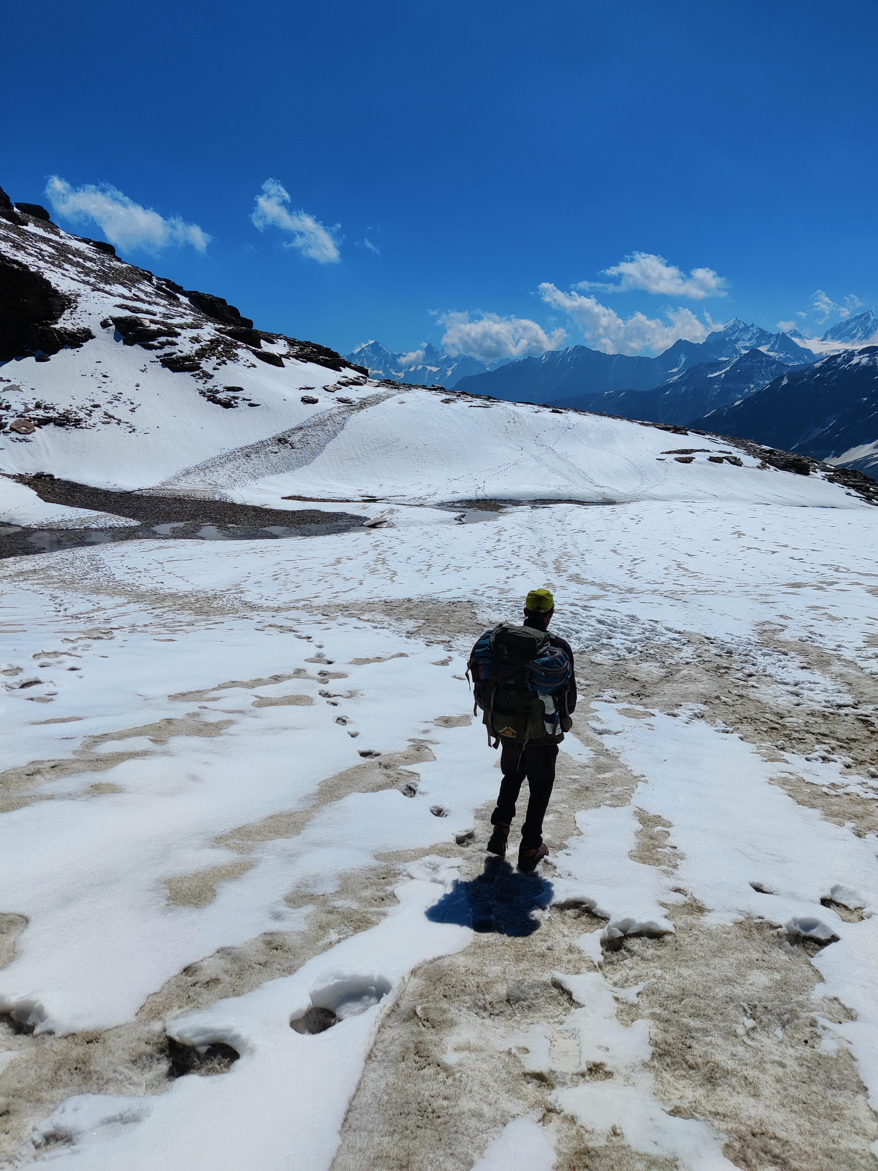
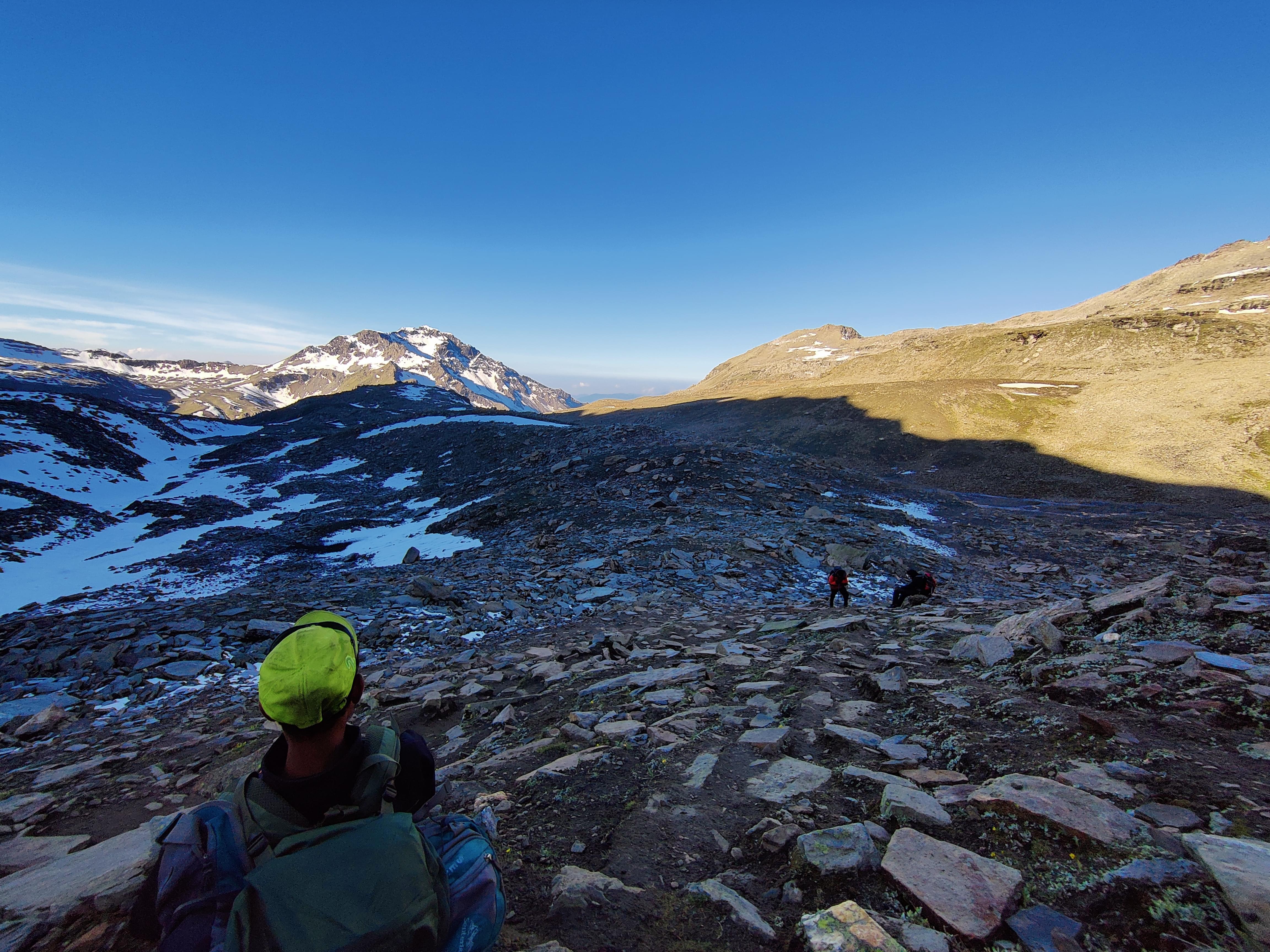
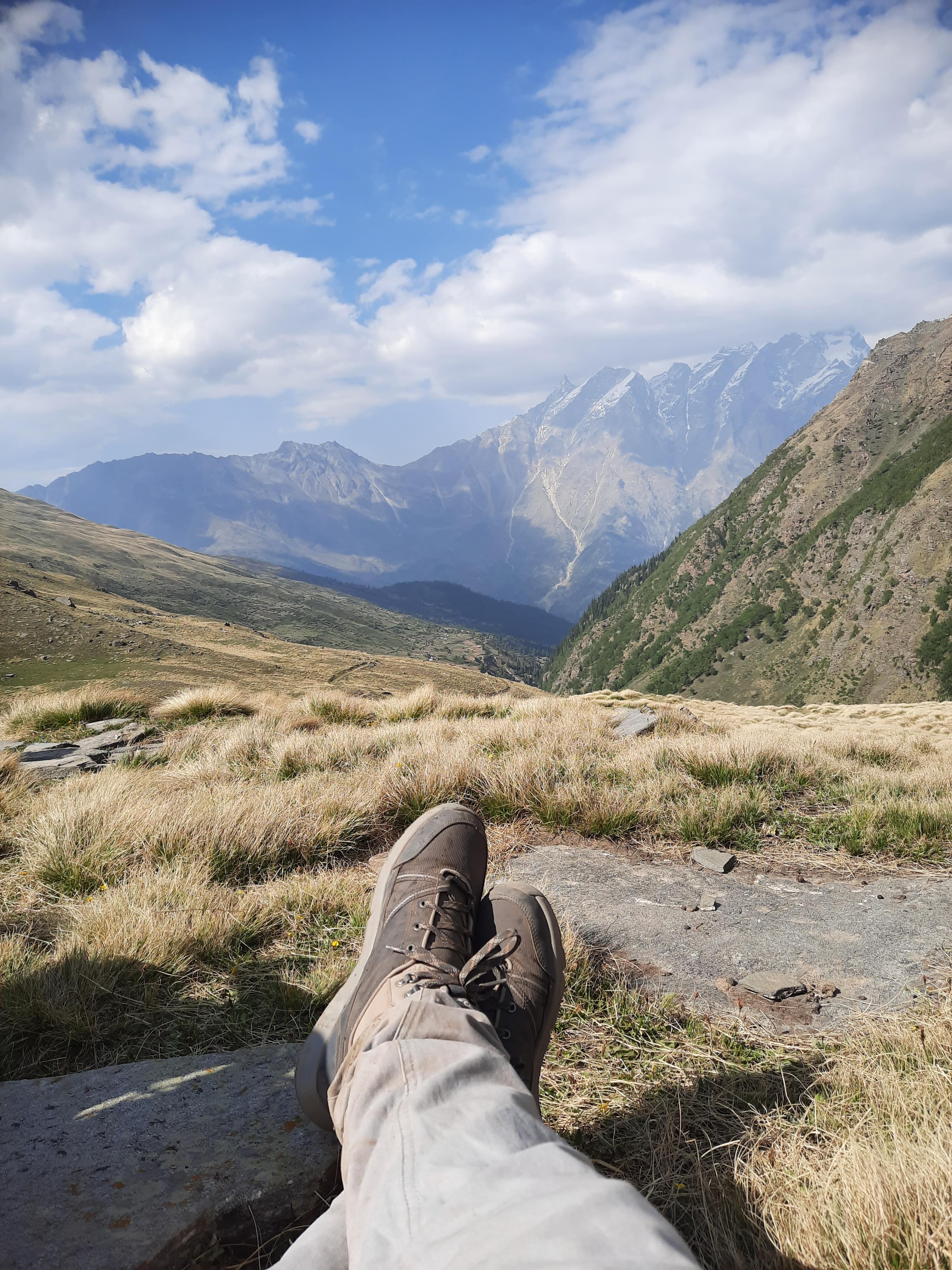
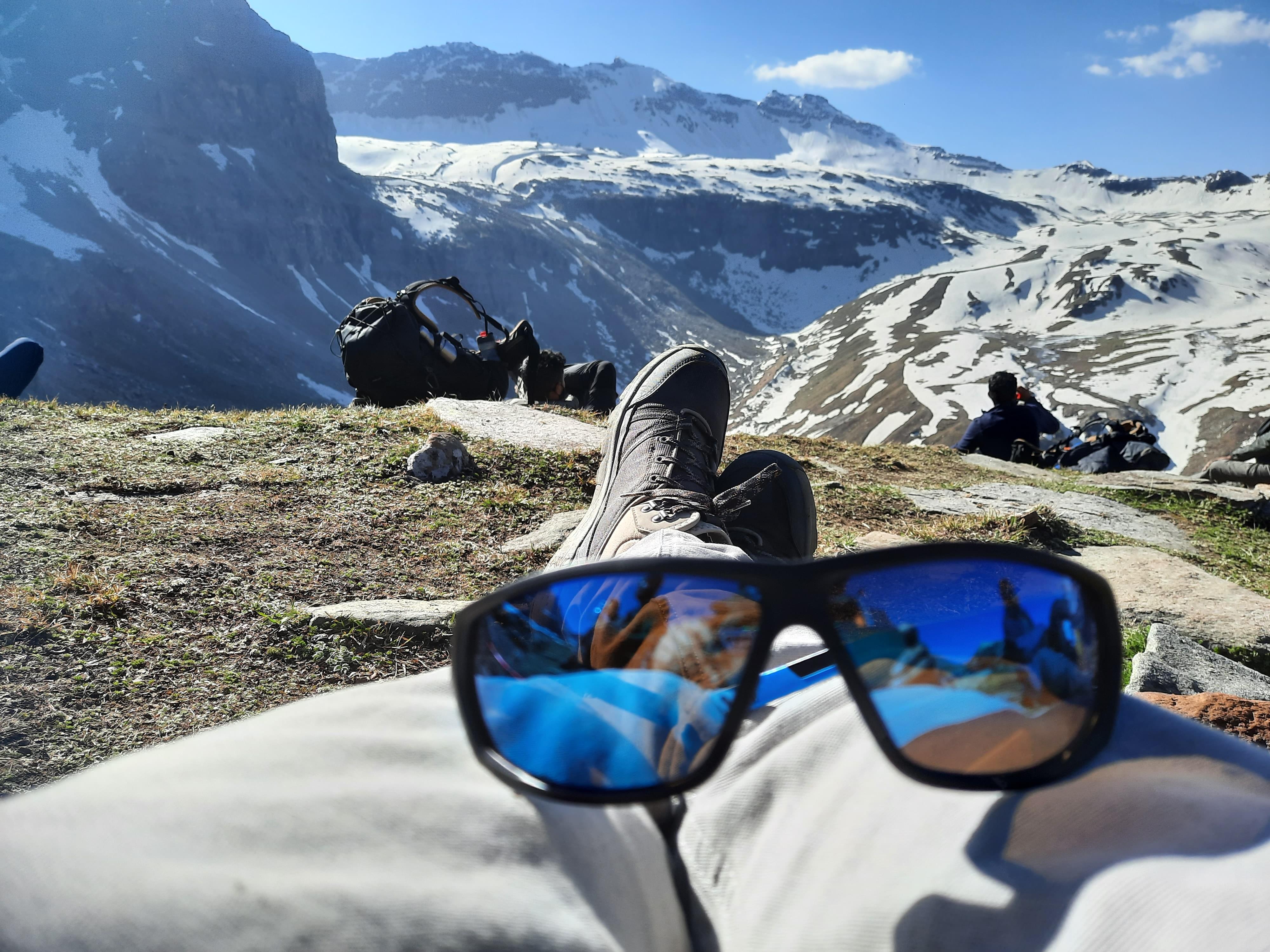
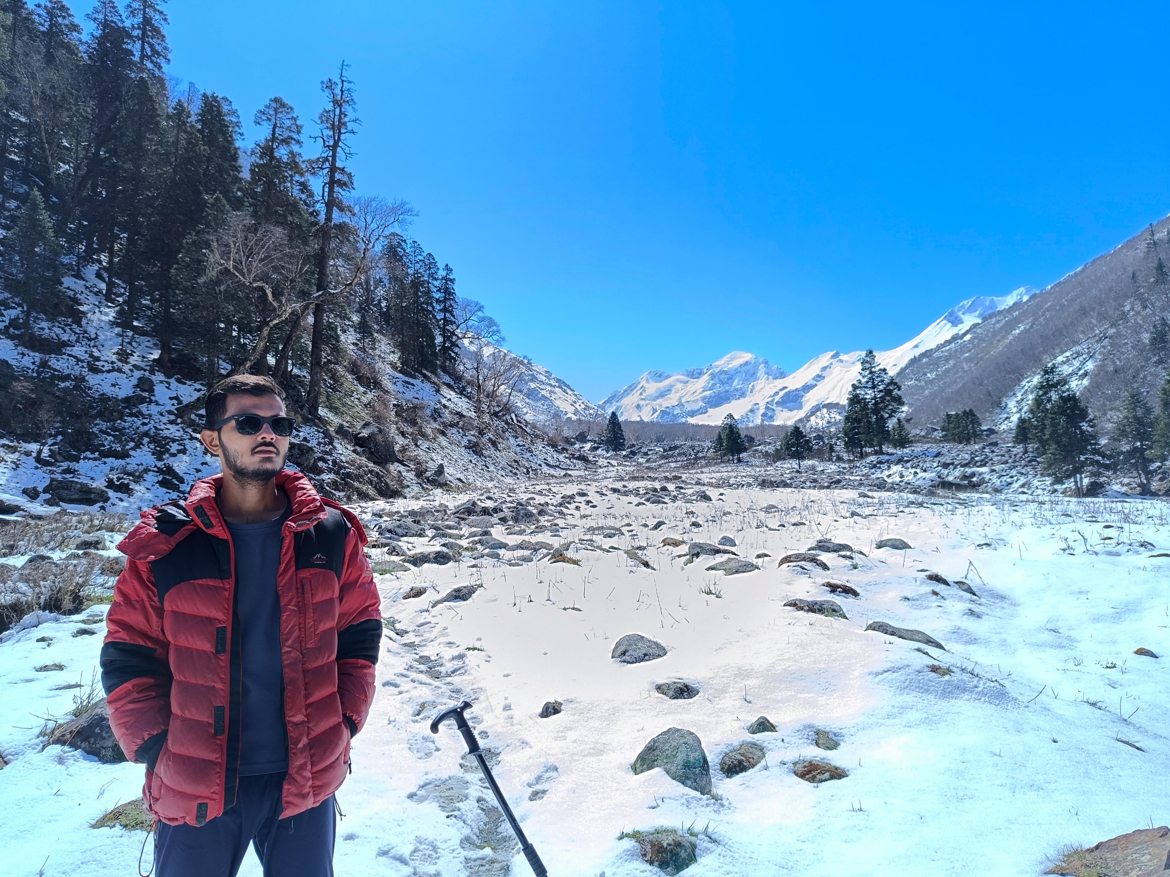
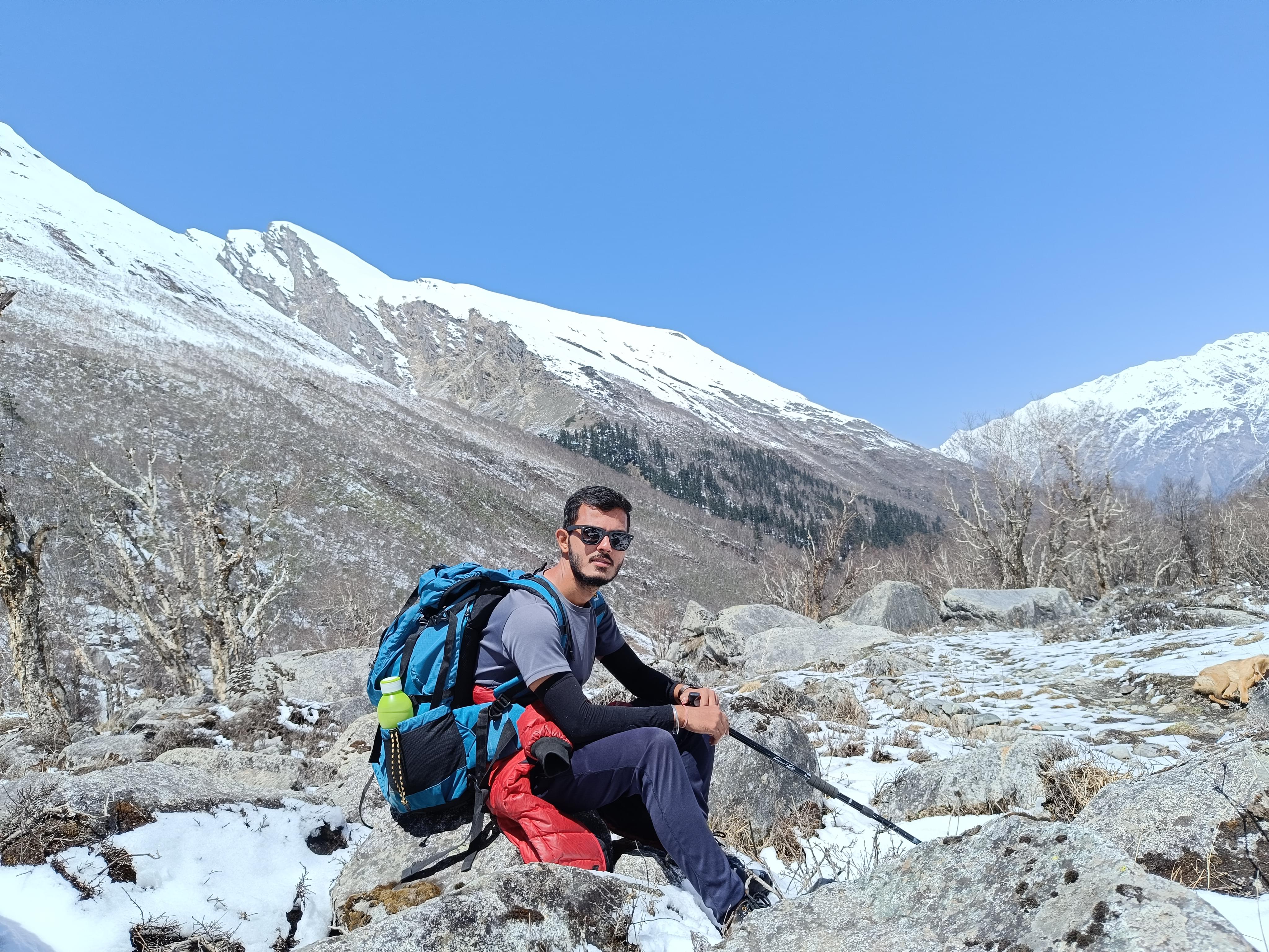
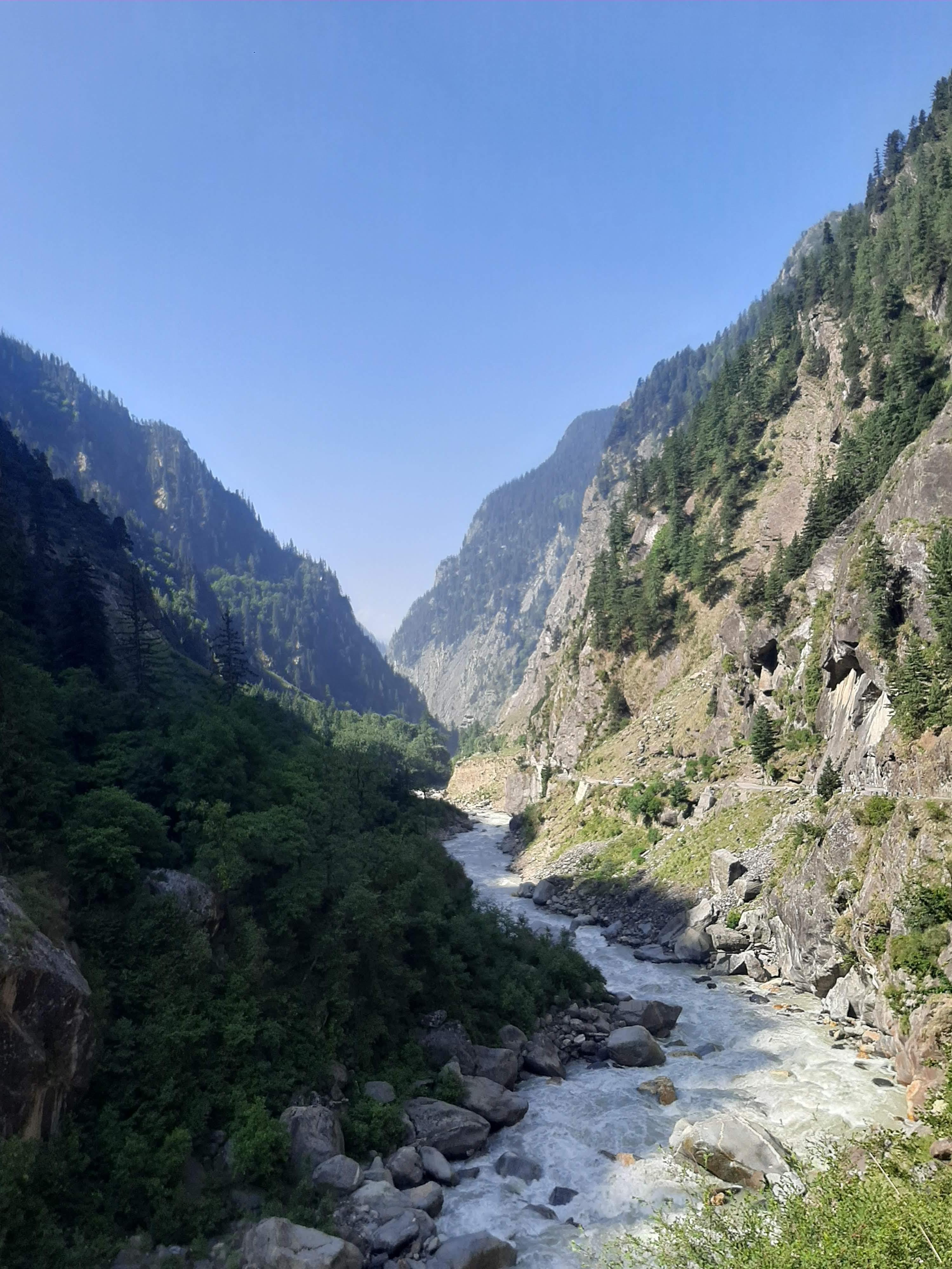
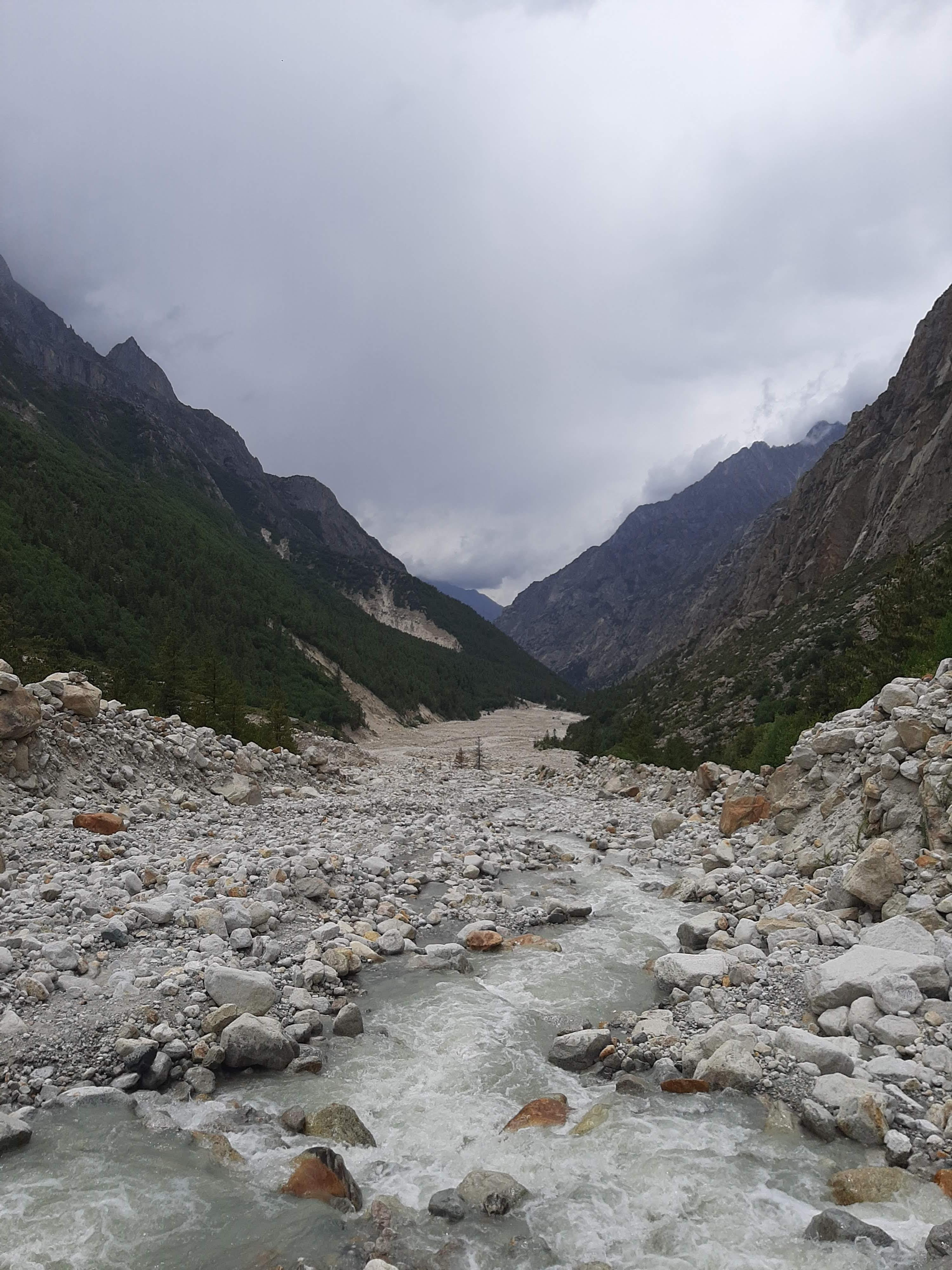
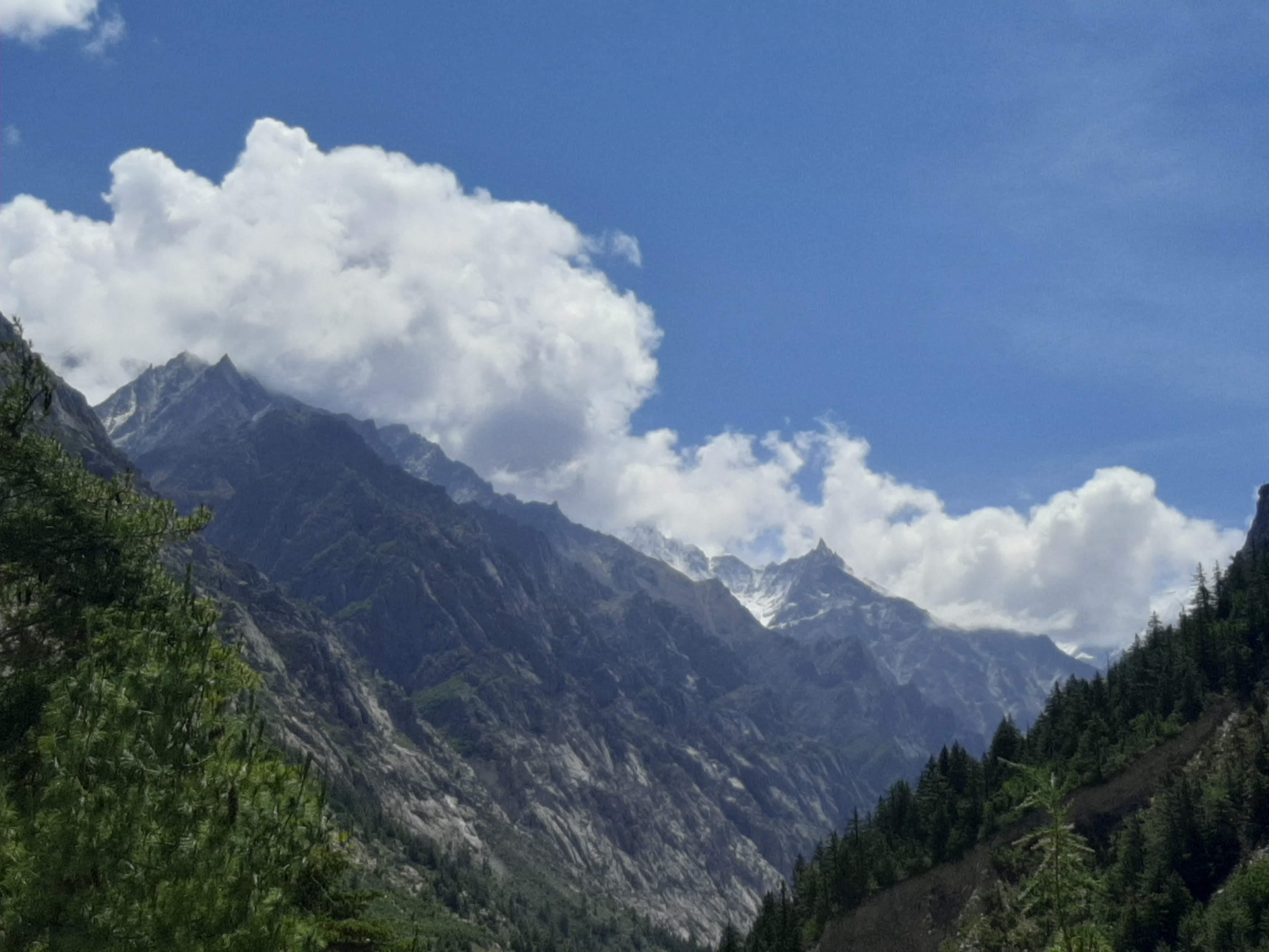
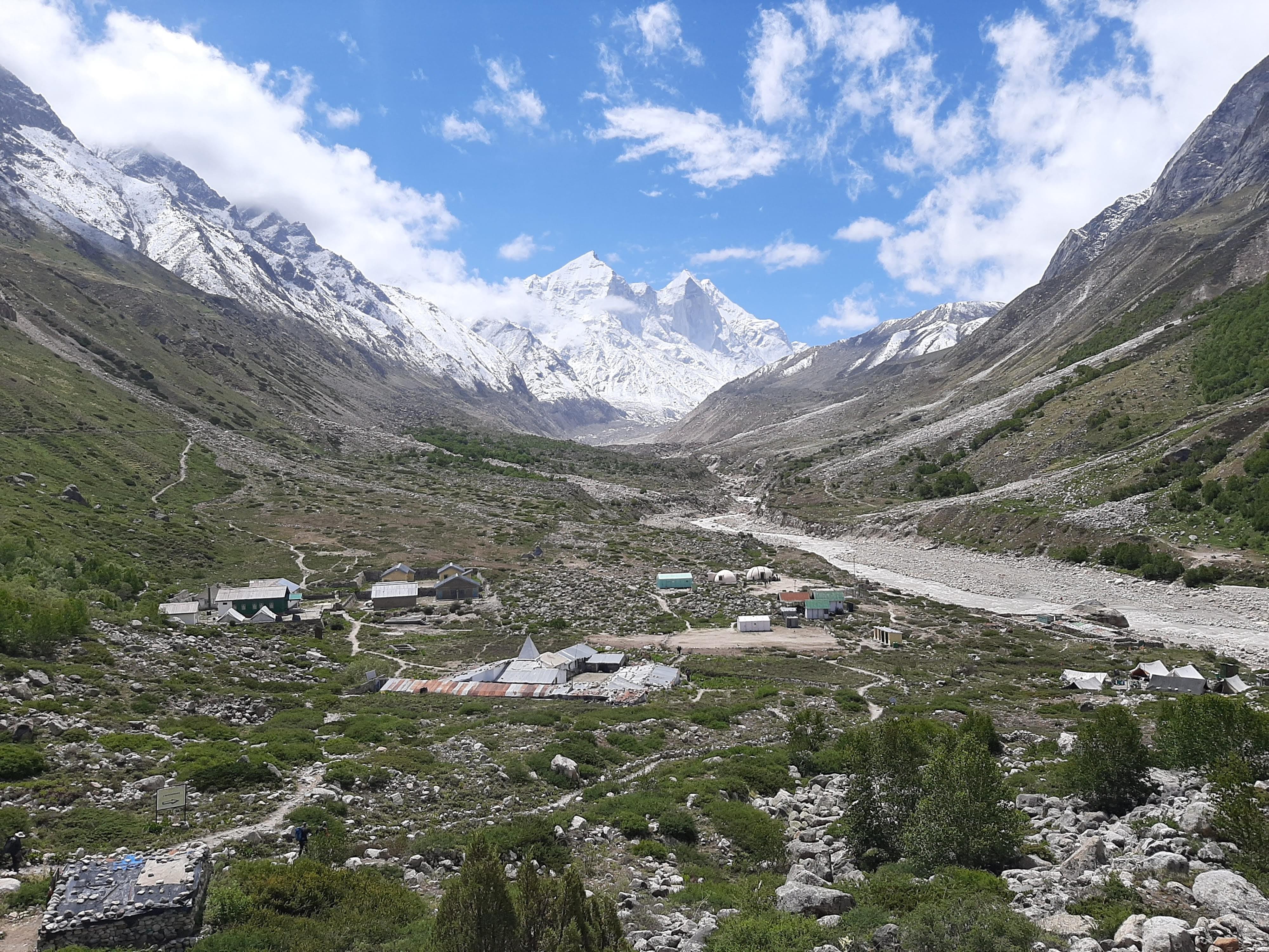
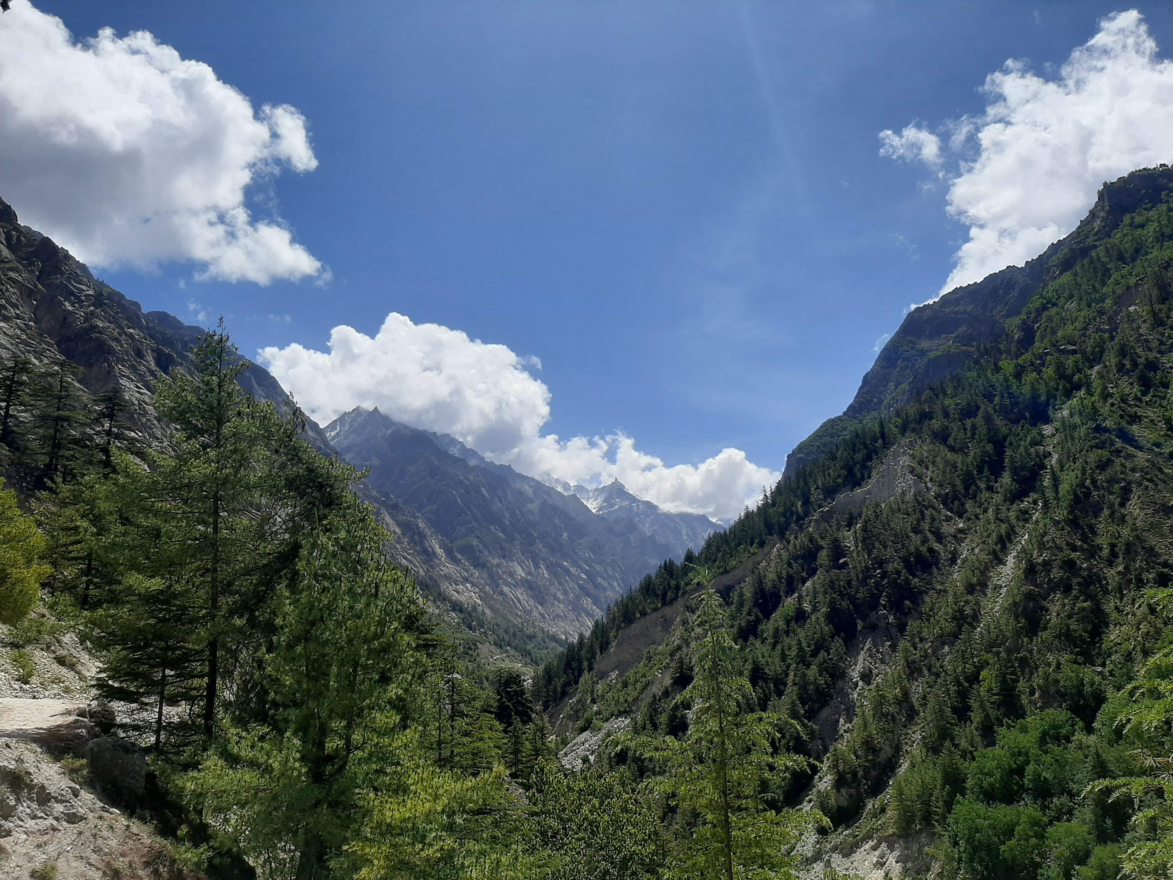
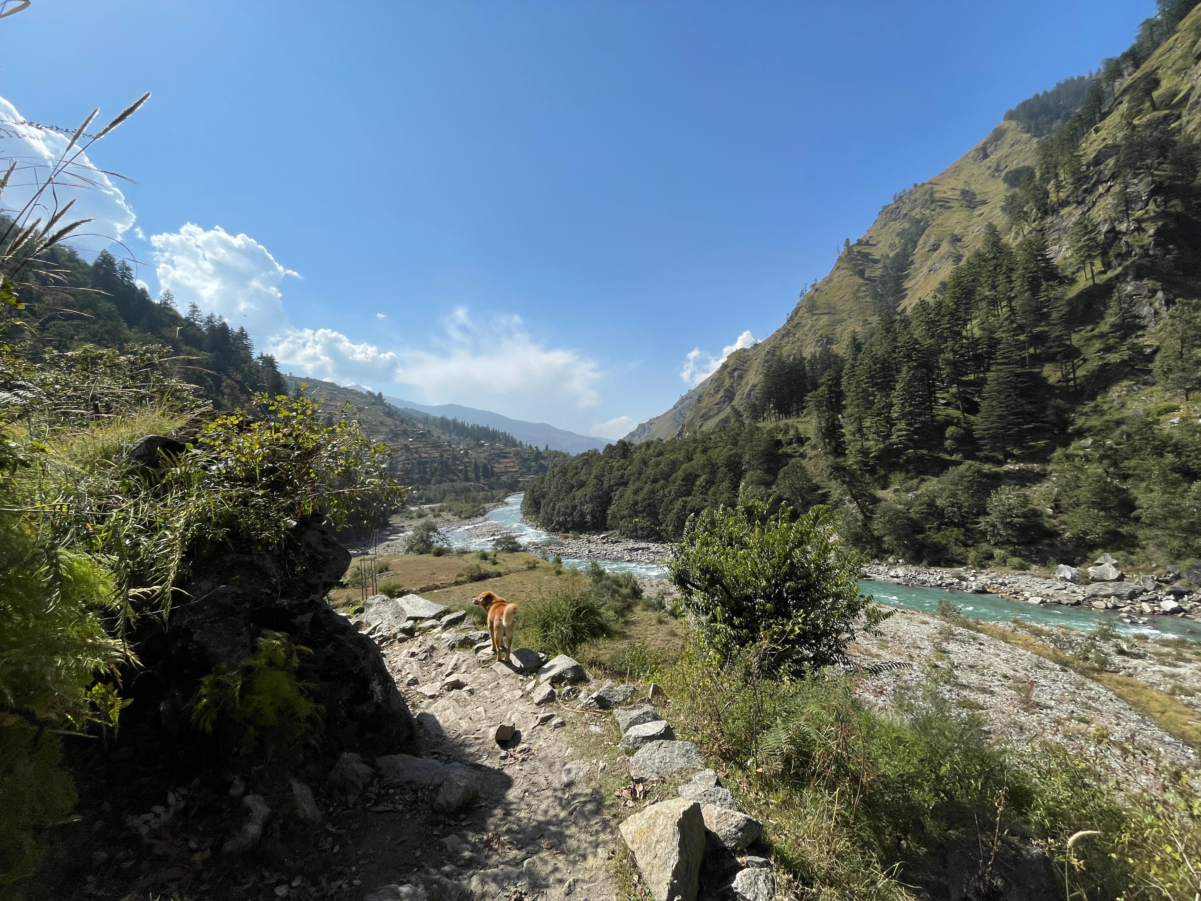
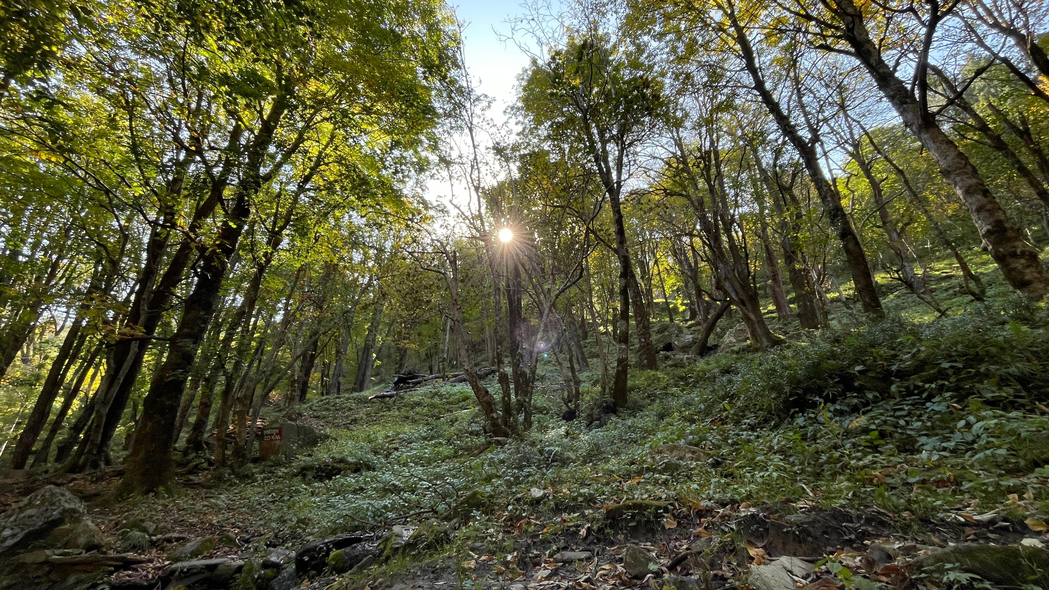
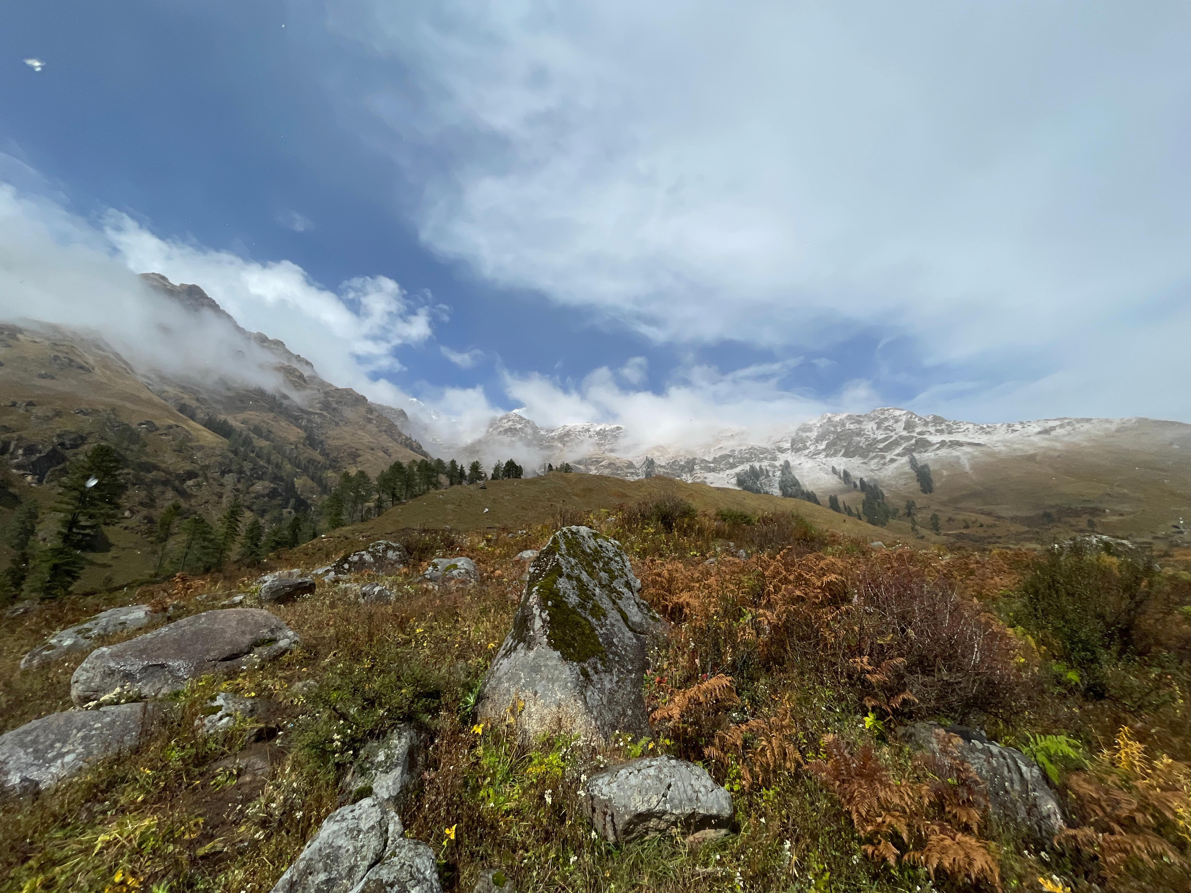
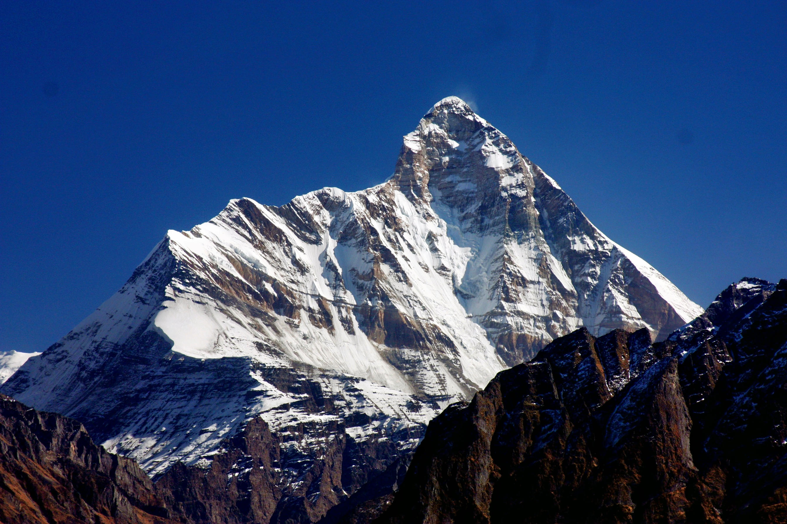
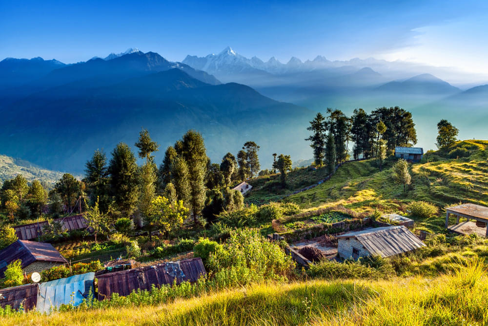
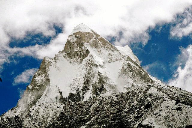
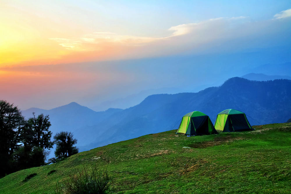
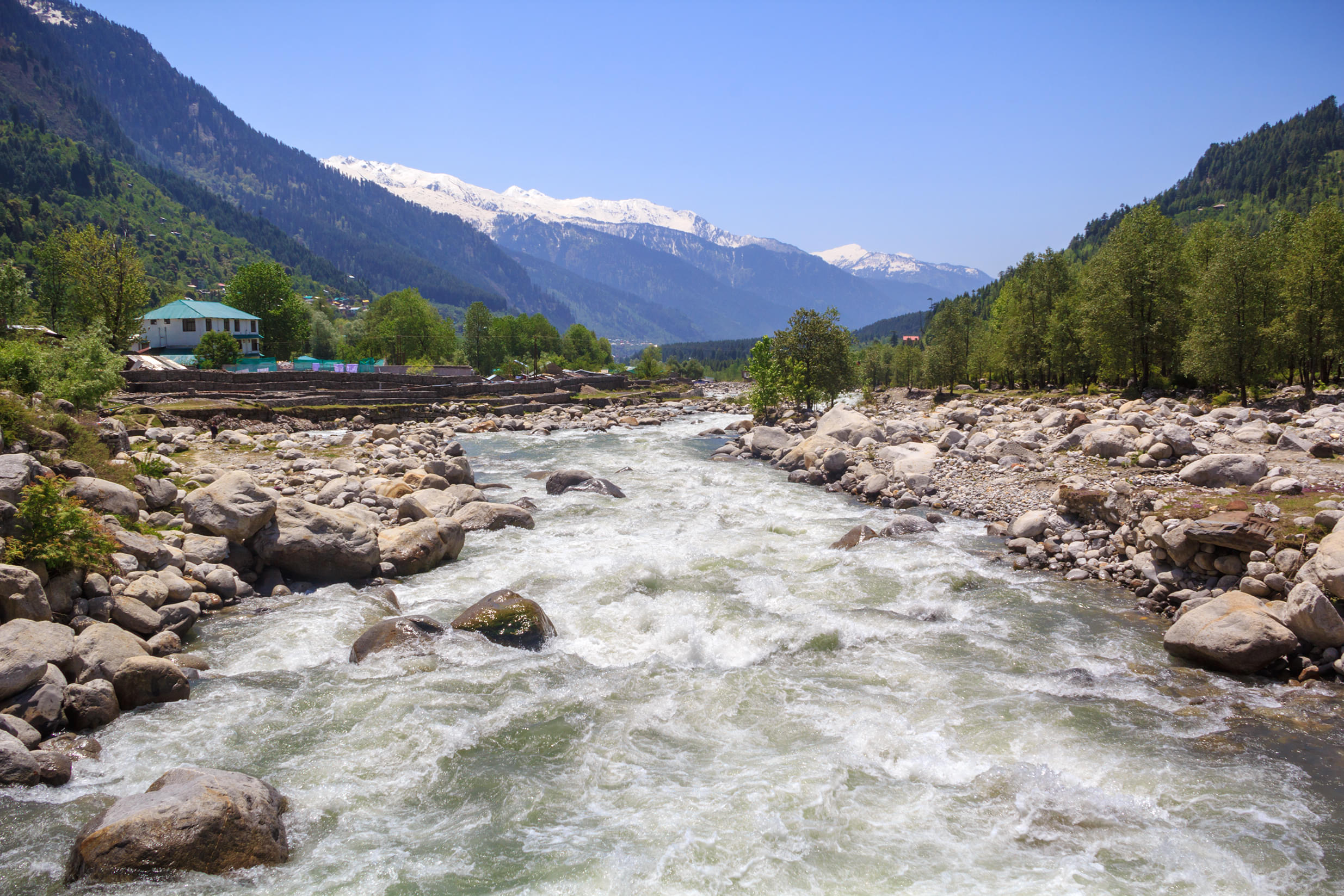
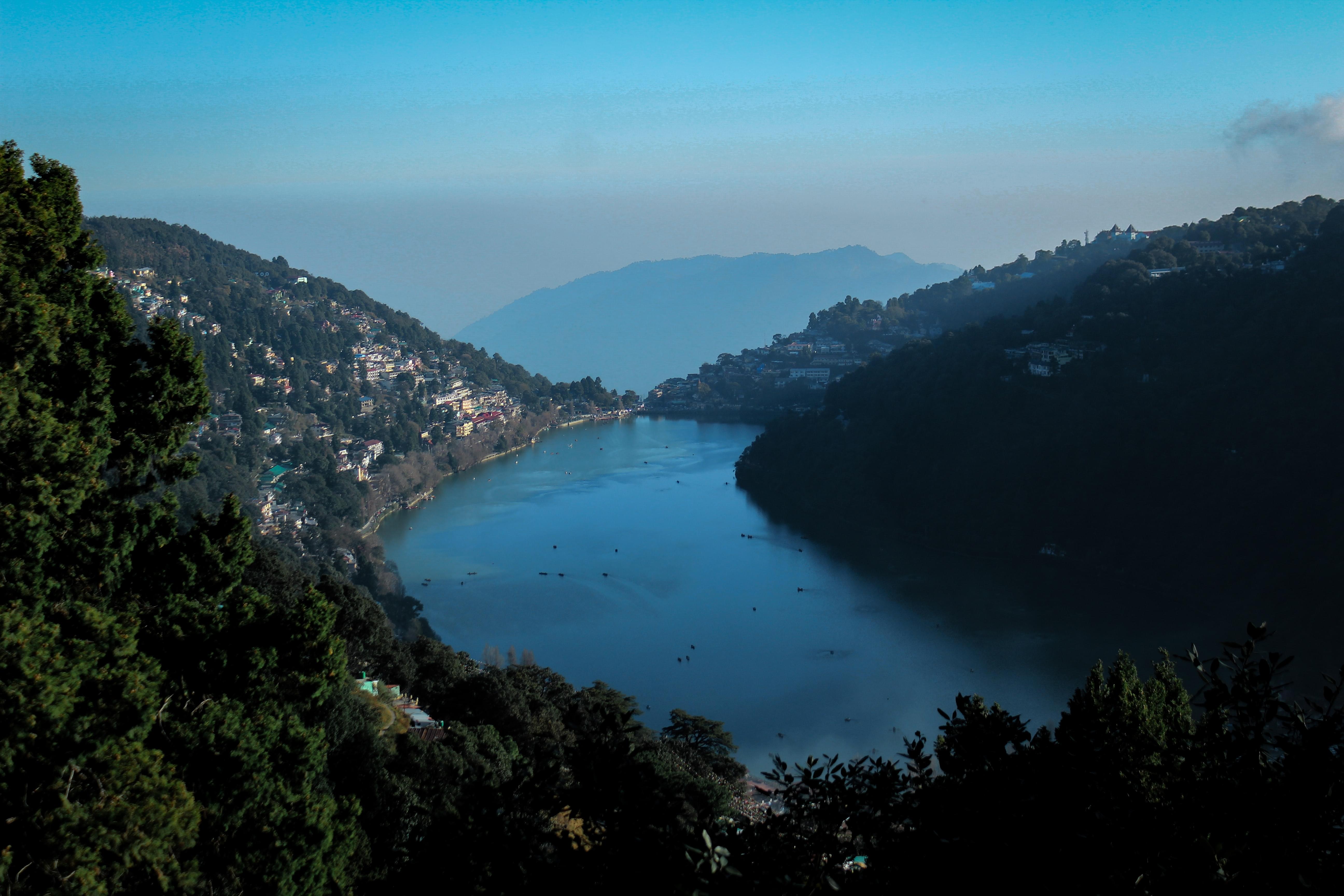
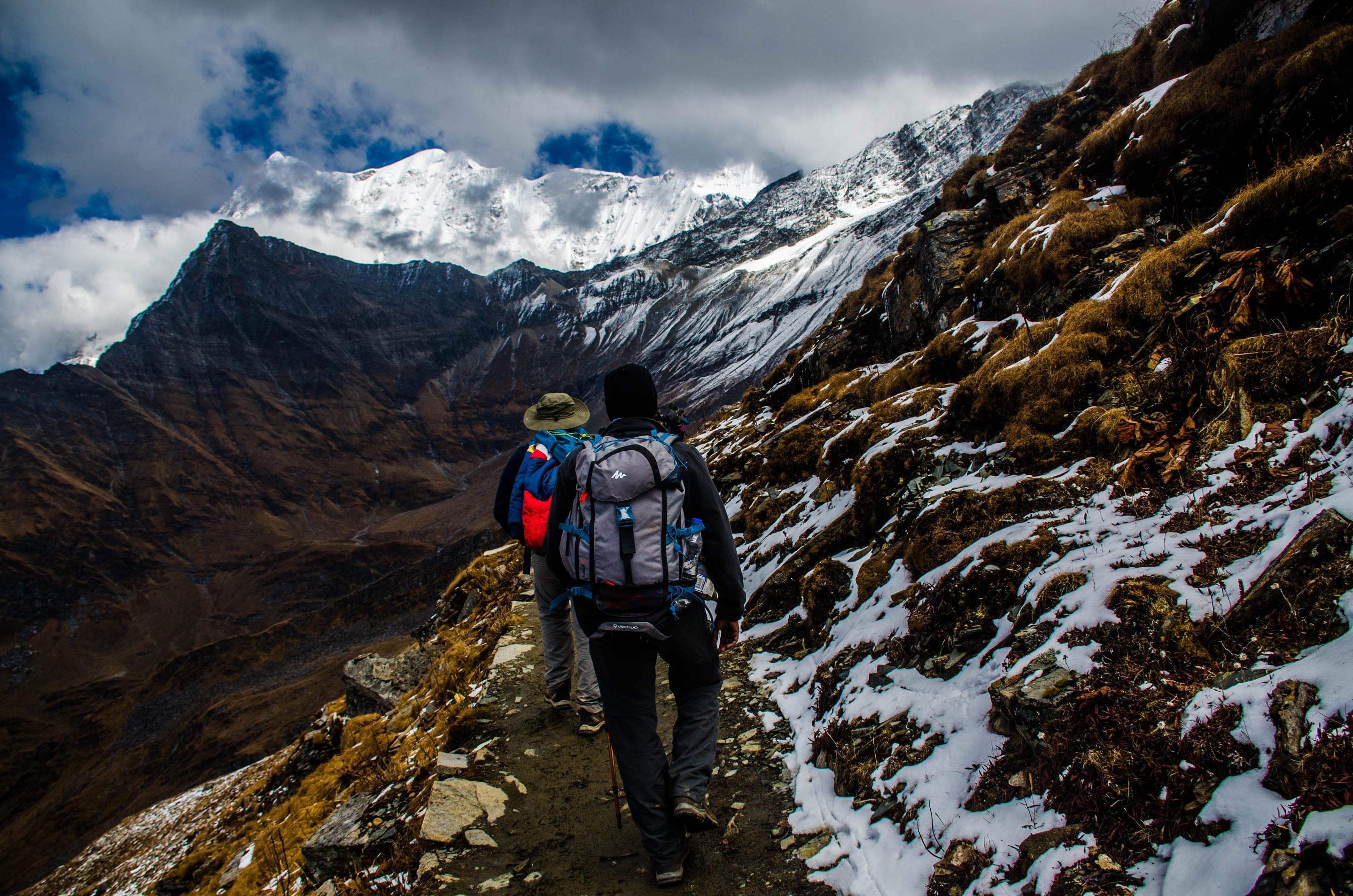
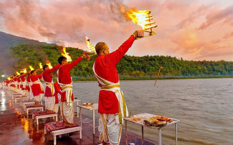
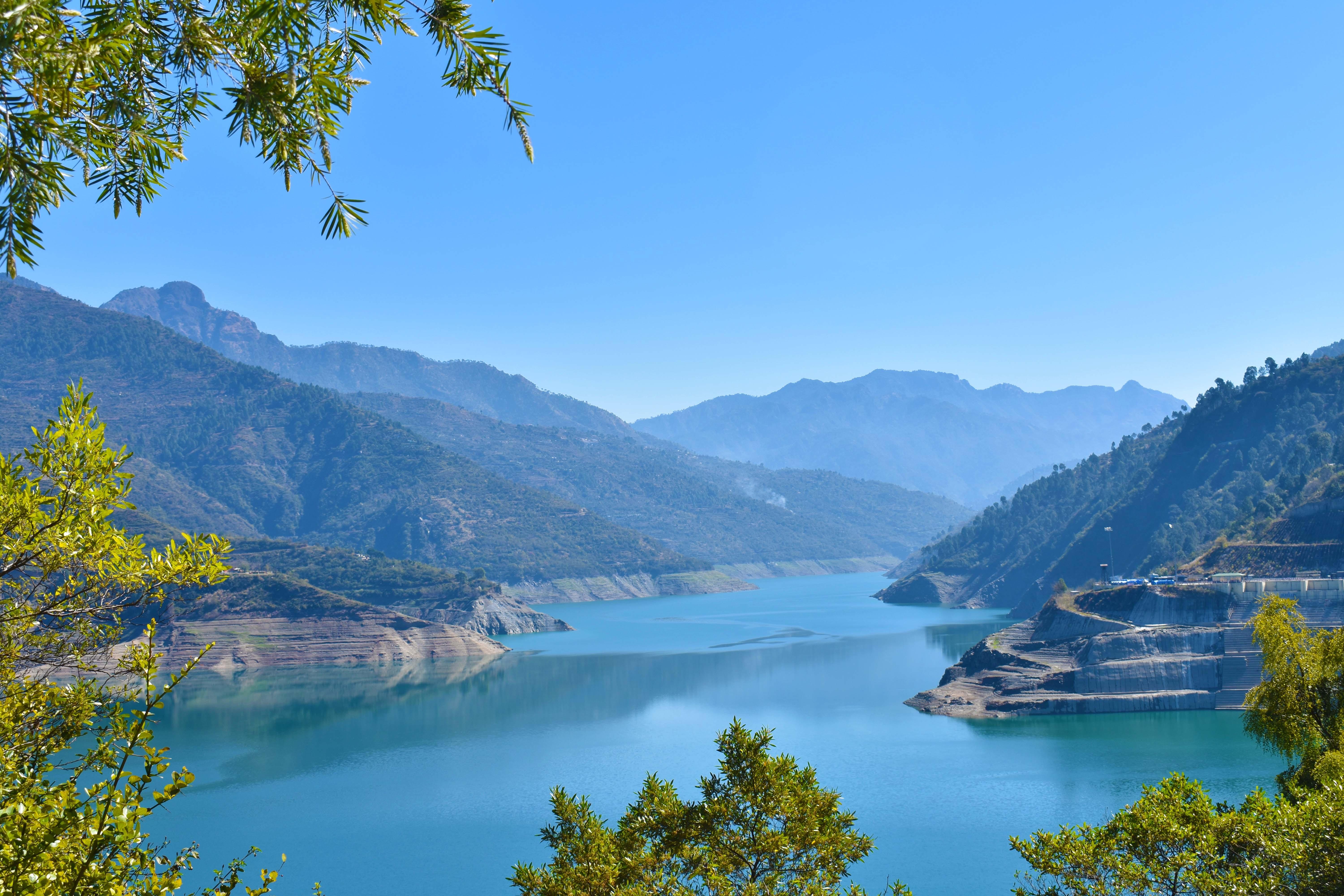
Uttarakhand is a beautiful state that lies cozily amidst the majestic Himalayan ranges. The state is blessed with breathtaking landscapes, towering peaks, serene lakes, and sacred temples. Trekking in Uttarakhand is an amazing adventure that takes you through dense forests, lush valleys, serene mountain villages, and lofty mountain passes.
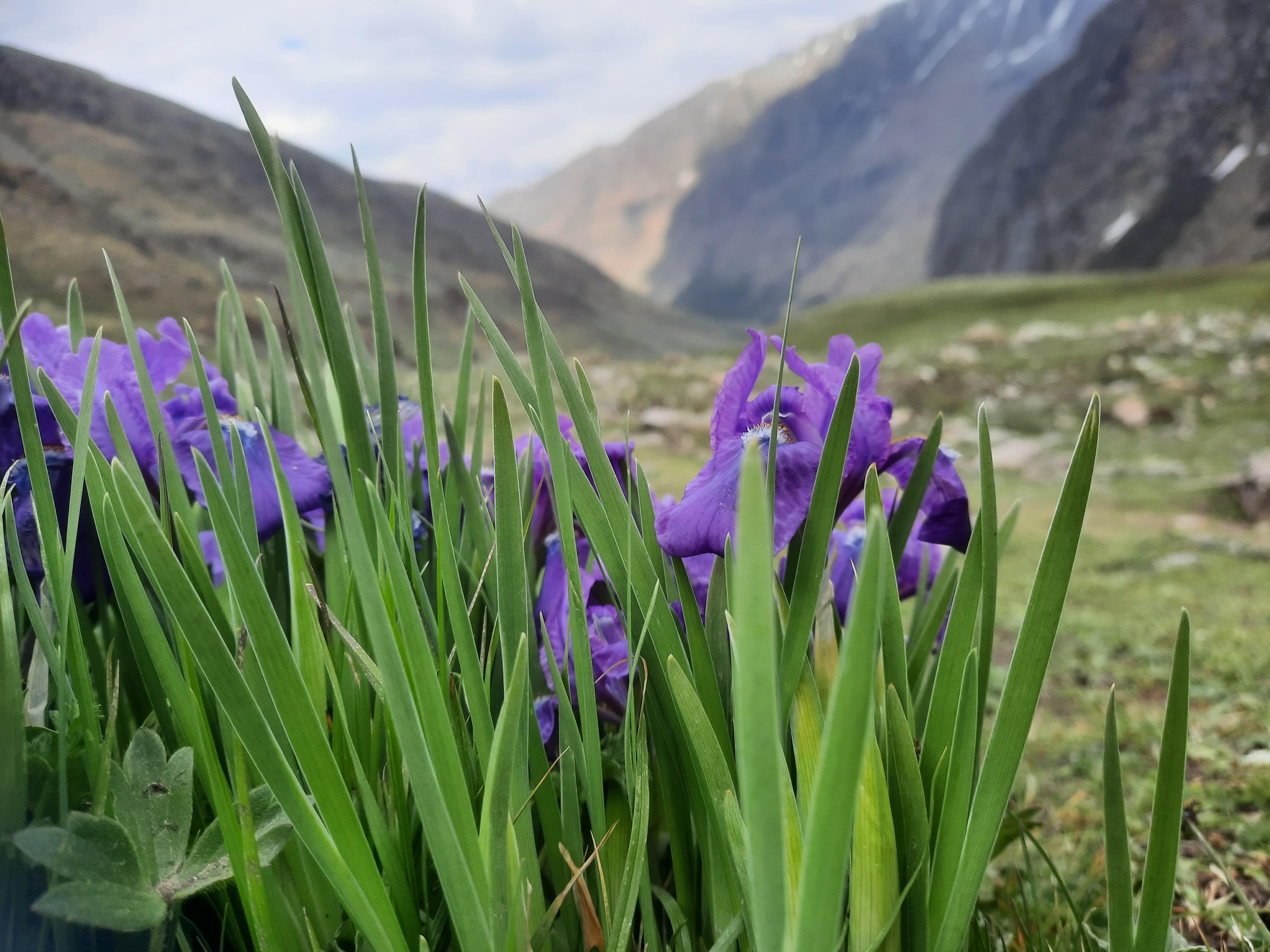
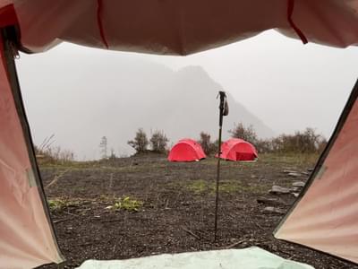
Some of the best trekking places in Uttarakhand that can top your list are the Valley of Flowers and Chopta Chandrashila trek. The Valley of Flowers trek is famous for its vibrant bloom of flowers in the monsoon season. The Har Ki Dun trek is a great choice for those who want to enjoy the untouched beauty of the ancient villages that are steeped in mythology. This experience also comes with the happiness of camping under the stars, witnessing rare wildlife, and experiencing the warmth and hospitality of the local people as well.
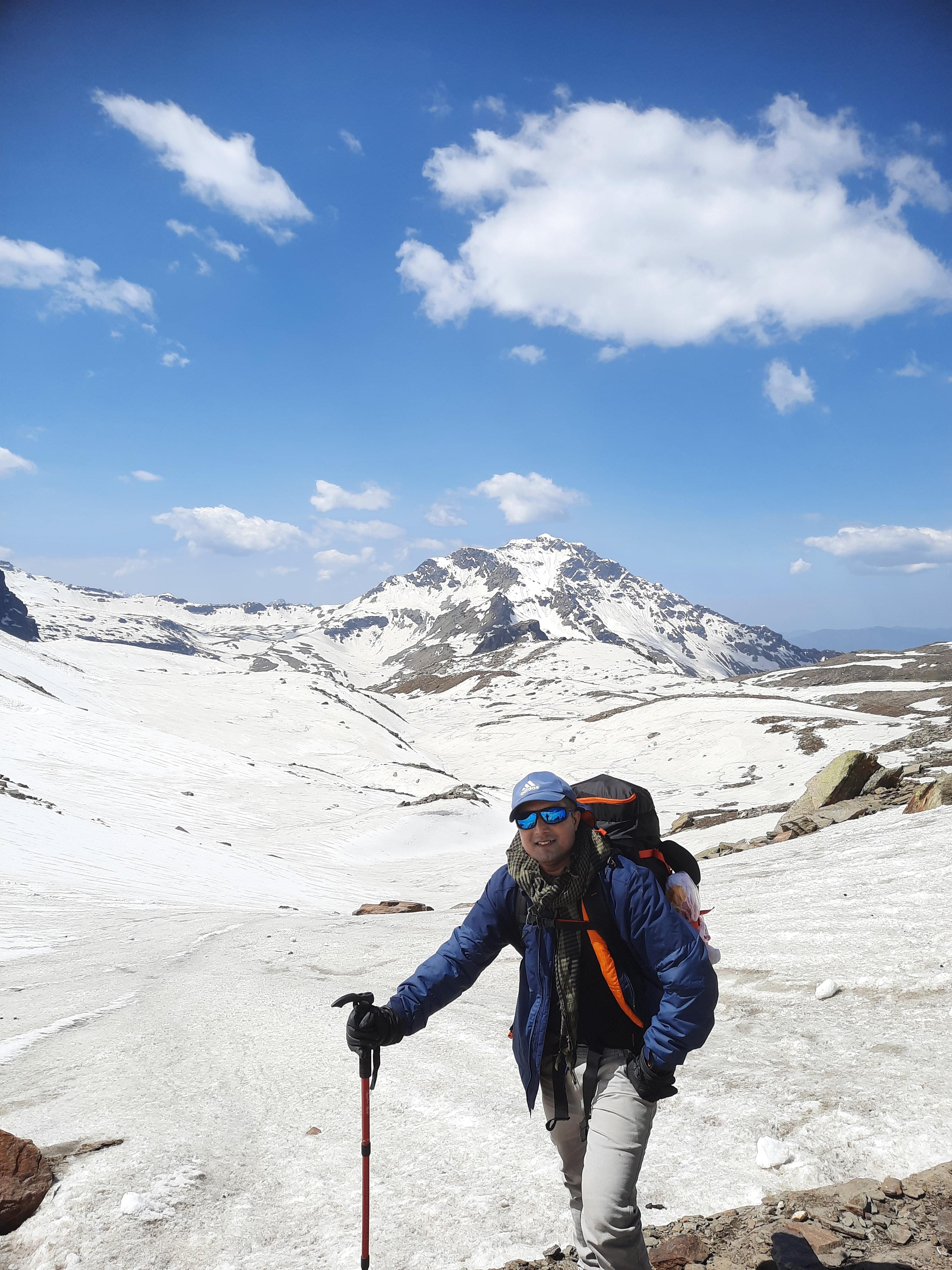
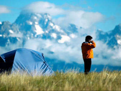
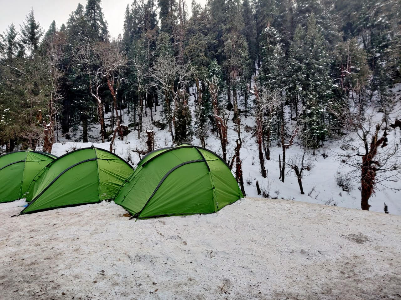
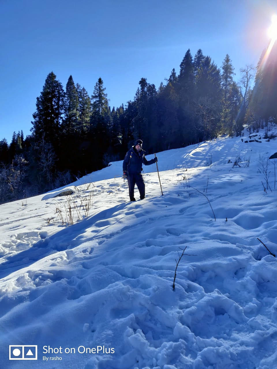
The best part about trekking in Uttarakhand is that you can see various forms of this adventure throughout the year. Summers have clear skies and pleasant weather, monsoon brings out the lushness of the forests and winters turn Uttarakhand into a magical snowland.
At Thrillophilia, we can arrange your Uttarakhand trek itinerary so that you can fully immerse yourself in the trekking experience while we take care of all the arrangements of your trek.
Here are some of the best treks in Uttarakhand:
1. Valley of Flowers Trek:
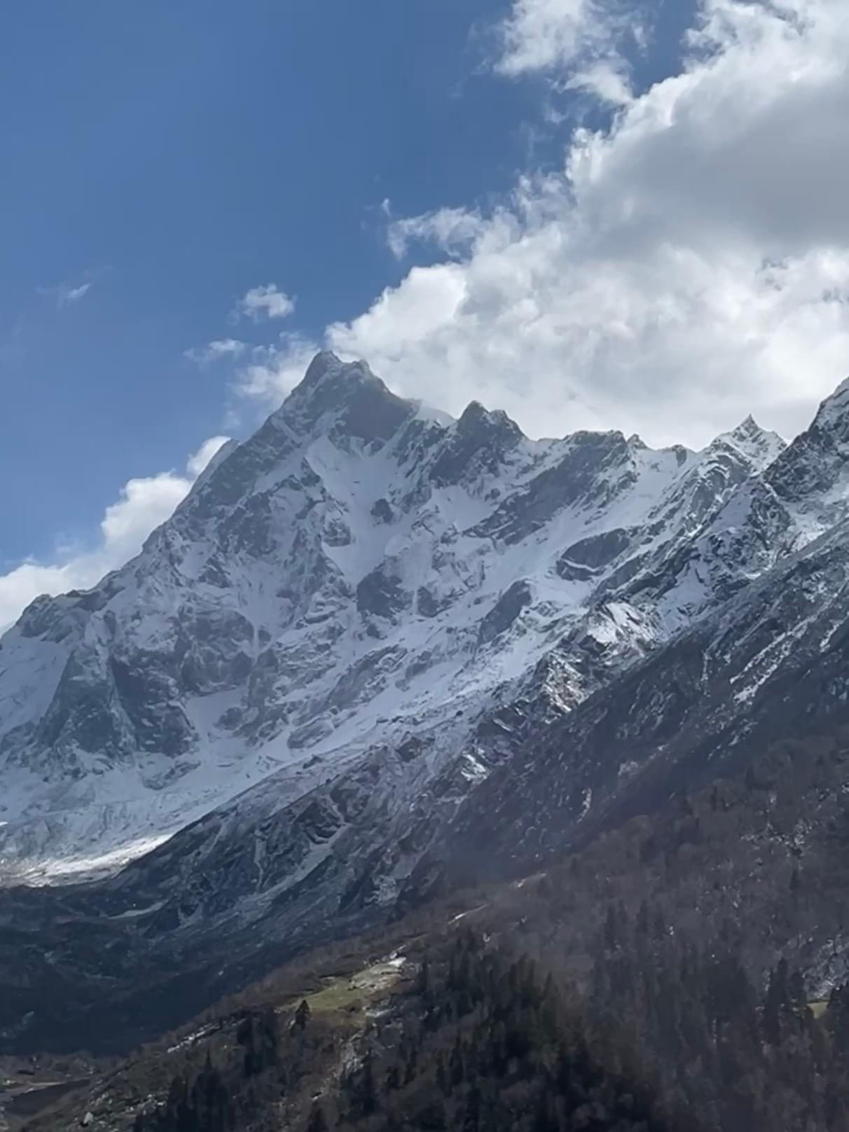
The Valley of Flowers Trek in Chamoli District is one of the most mesmerizing trekking spots in Uttarakhand. With a moderate difficulty level, the trail winds through lush forests, snow-capped Himalayan peaks, and lush meadows. You can enjoy close encounters with wildlife like snow leopards and musk deer. The best time to embark on this trek is from June to mid-September.
2. Kedarkantha Trek:
This is one of the best snow trekking places in Uttarakhand. The trail takes you through beautiful river valleys, dense forests, remote villages, and snow-covered landscapes. During the trek, you can enjoy amazing views of peaks like Swargarohini, Bandarpoonch, and Black Peak.
3. Kedartal Trek:
This high-altitude trek takes you to the glacial lake of Kedartal which is also locally known as Shiva’s lake. The trail meanders through scenic pine forests and sprawling high-altitude meadows before reaching the lake. All through the journey, you can witness stunning vistas of snow-capped peaks of Thalay Sagar, Bhrigupanth, Manda Parvat, and Gangotri mountains.
4.Chopta Chandrashila Trek:
This moderate-level trek is one of the most beautiful trekking places in Uttarakhand. Navigate your way through ancient forests and witness the diverse flora and fauna of the region. You can stop at Deoriatal Lake, Chopta, and Tungnath Temple to relax and unwind amidst Nature. On reaching the Chandrashila summit, marvel at stunning sunrise and sunset views.
5. Har Ki Dun Trek:
Har Ki Dun Trek is a 500-year-old cultural trail and one of the most popular trekking places in Uttarakhand. The trek starts from Sankri Village and takes you through dense coniferous forests that house diverse wildlife and several old villages. At the Har ki Dun Valley, you can soak in the beauty of a vast meadow carpeted with vibrant wildflowers.
6. Dodital Winter Trek:
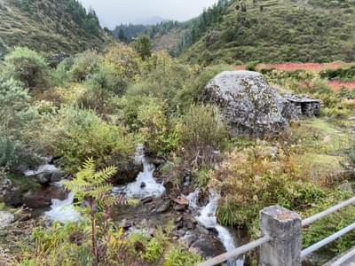
This is one of the most captivating places to enjoy a week-long winter trekking in Uttarakhand. From Sangamchatti, trek along the Asi Ganga stream and through villages like Agoda and Bhebra, and gain insights into the daily mountain life. The trail further meanders through Rhododendron forests and takes you to the serene lake. From there, hike towards Darwa Top and enjoy stunning views of Bandarpunch Peak and the Swargarohini range.
7.Dayara Bugyal Trek:
Both first-timers and seasoned trekkers can enjoy the scenic Dayara Bugyal trek in Uttarakhand. The trail meanders through thick oak and rhododendron forests. The lush meadows with alpine flowers like Himalayan blue poppies, daisies, and primroses are a visual treat to witness on this trek. You can also enjoy spellbinding views of Greater Himalayan peaks like Bandarpunch, Kala Nag, Srikanth, and Draupadi Ka Danda.
8. Nag Tibba Trek:
This is an adventurous trek that takes you to the summit of Nag Tibba. Make your way up through dense forests filled with Oak, Rhododendron, and Deodar trees. In addition, you can spot animals like barking deer and langurs during the trek. On reaching the Nag Dibba peak, you can revel in the beautiful views of the Bandarpoonch, Kedarnath, and Swargarohini peaks.
9. Kuari Pass Trek:
Also known as the "Lord Curzon Trail", this high-altitude trek is ideal for seasoned trekkers. The scenic trail offers breathtaking views of snow-capped peaks, lush meadows, and dense forests. Along the way, you can pass through charming villages like Pantwari and Chitrakantha and rhododendron-filled forests. You can also enjoy glimpses of majestic peaks like Nanda Devi, Dronagiri, and Chaukhamba.
10.Pindari Glacier Trek:
This trek starts at Kathgodam and takes you to the spectacular Pindari Glacier in 9 days. The trek takes you through many beautiful destinations like Loharkhet, Dhakuri, and Khati. After you reach the glacier, you can bask in the magnificence of the Pindari Valley and the scenery around it. With a moderate difficulty level, this trekking in Uttarakhand is ideal for both adults and children.
Uttarakhand Trekking Packages
Best Trekking Destinations
Our Partners
Newly Added Experiences
Tourism Board Alliances
Uttarakhand Trekking FAQs
When is the best time to visit Uttarakhand for trekking?
You can plan a trip to Uttarakhand all year round, the best time to visit is during May to June and September to November. During these months, the weather is usually pleasant with minimal rainfall. These factors make these months ideal for exploring the trekking sites in Uttarakhand. Some of the popular ones are the Har ki Dun Trek, Kuari Pass Trek, and Roopkund Trek. However, each season in Uttarakhand has its beauty and offers its unique experiences. You can undertake the Valley of Flowers trek in the monsoon season and the Chopta-Chandrashila trek in winter to witness the best of Uttarakhand.
How can I reach Uttarakhand? How far is it from Delhi?
The distance between Delhi and Dehradun, the capital of Uttarakhand, is 236 km. You can reach Uttarakhand in one of the following ways -
By air: The Jolly Grant Airport in Dehradun receives direct flights from Delhi. It takes about 2 hours of flight to reach the destination.
By train: The Anand Vihar Terminal in Delhi operates direct trains to Dehradun and Rishikesh in Uttarakhand. The Dehradun Express and Nanda Devi Express are also some popular choices for a scenic rail journey. It takes about 6 hours by train to reach Dehradun from Delhi.
By road: You can hire a cab or take a bus and reach Dehradun in 4 to 5 hours by road.
Which is the highest trek in Uttarakhand?
Nanda Devi Trek is the highest trek in Uttarakhand. The trek is one of the adventurous and best trekking places in Uttarakhand. The trek takes you to the famous Nanda Devi peak located 7,816 metres above sea level. It’s a challenging trek meant for experienced trekkers with good physical fitness and stamina.
Which are the easy treks in Uttarakhand?
1. Dodital Darwa Top Trek, Uttarakhand: Considered the birthplace of Lord Ganesh, Dodi Lake is what you will be rewarded upon reaching the Dodital Darwa Top.
2. Har Ki Dun, Uttarakhand: A spectacular example of virgin beauty, Har Ki Dun is also known as Hanging Valley which offers you some amazing sights to behold. Also, you can witness a unique culture where they still follow polygamy and worship Duryodhana.
3. Kuari Pass Trek: Gateway to some amazing trekking destinations in Uttarakhand, Kuari Pass Trek offers you eye-catching views of the hilltops in Garhwal regions as well as its nearby peaks.
Which are the difficult treks in Uttarakhand?
1. Gaumukh Tapovan Trek: Source of the Bhagirathi River, Gaumukh is considered to be a sacred place by the believers. However, the adventure junkies turn it into an opportunity for them to relish on the snow-capped beauty of the surrounding regions.
2. Roopkund Trek: A high altitude glacial lake, Roop Kund attracts many trekkers from across the country who hike up to witness the eternal beauty of the pond surrounded by gleaming snow sheets across the valley.
3. Rupin Pass Trek: Snaking right through the valley between two slopes of mountains, Rupin Pass offers a spellbinding trek to its visitors. Also, the beauty of the pass is enhanced with colorful flora just post-monsoon.
4. Pindari Glacier Trek: Nestled in the upper regions of Kumaon Himalayas, Pindari is a three kilometers long glacier that gives birth to the Pindar river enriching the everlasting beauty of the glacier.
Which are the best 2 day treks in Uttarakhand?
Nag Tibba Trek: Located at an altitude of 3025 meters above the sea level, this happens to be the highest peak in the lower himalayas and one of the most sought after places to trek in Uttarakhand. Starting from the village of pantwar, this trek takes you to the peak in just 2 days. You will be spending time in a peaceful environment enjoying a great camping experience.
Gorson Bugyal Trek: Gorson bugyal trek offers scenic views of the meadows full of green pastures and coniferous forests. Visiting these trekking places in Uttarakhand, you will get a chance to enjoy the calm and nostalgia filled landscape.
Kartiswami trek: Kartiswami trek in Uttarakhand is yet another two day trek that takes the thrill seekers through the dense forests to the ridge. You will get a chance to sight amazing sunrise views and beautiful sunset views from various points of the trekking places in Uttarakhand.
Deoria Tal Trek: Deoria tal is an emerald green lake that offers an enchanting surroundings with panoramic views of the mesmerizing chaukhamba, neelkantha, meru, sumeru, and many other peaks of Garhwal Himalayas.
Which are the best high altitude treks in Uttarakhand?
Deoria Tal & Chandrashila Trek: Deoria Tal and Chandrashila Trek is not only known to offer adventure opportunities to the thrill seekers but it is also known to offer fantastic views of the surroundings all around.
Gangotri glacier trek: Gangotri glacier trek is a short 4 to 5 day trek that lets you reach the source of Ganga river. This also happens to be a famous pilgrimage site for Hindu followers.
Valley of Flowers Trek: Valley of flowers trek is a 4 to 5 day long trek in Uttarakhand that takes you close to a famous area for wildflowers. If you are planning to be a part of this trek, you should be ready for rains and slippery paths. Starting from Govind ghat you will pass through the village of ghangaria.
Roopkund Trek: Roopkund trek happens to be a 6 day Trek in Uttarakhand That takes you close to the haunted lake of roopkund located about 4450 meters above the sea level. Heading out on this trek, you will start in the dense oak and rhododendron forests and offer pristine views of Trishul, Nanda Ghunti and Badrinath.
Which are some famous summer treks in Uttarakhand?
1. Roopkund trek: This high-altitude lake that stays frozen most of the year, thawing for just a month. With frequent rainstorms and snowstorms, this gives you a break from the scorching sun but is famous for the human skeletons that surround the lake. The trail begins through meadows and climbs to barren to heights, testing your stamina and endurance. This top summer trek is not advisable for first times unless you’re very fit.
2. Har ki Dun trek: This top summer trek is perfected with a trip to Jaundhar glacier. It takes you through Govind Wildlife Sanctuary, where flora and fauna thrives during summers. Over here, you’ll be introduced to the marvels of Himalayas and get an opportunity to trek on a mountain glacier.
3. Rupin Pass trek: This top summer trek takes you deep into mountains that involves long days of walking and an ascent to Rupin Pass, so it’s not recommended for beginners. It offers plenty of unusual sights to see : a village that perches dangerously on the edge of a cliff, waterfalls that are frozen in mid flow and the icy rupin river that is as blue as the sky above
4. Dayara Bugyal trek: Considered to be one of the most beautiful summer treks, visitors describe their experience here as nothing short of a fairy tale. Trekking through India’s most beautiful meadows, surrounded by towering Himalayan peaks, it offers you a chance to camp in the scenic locations at every stop. This trek is recommended for everyone i.e. Families with children, nature lovers and adventure lovers alike.
5. ChoptaTungnath and Chandrashila: This summer trek takes you through pine and oak forests, gives you a chance to camp besides the pristine Deoriatal Lake and soak in the meadows of Chopta. While the trek is moderately easy, the real challenge is summiting the Chandrashila Peak. It’s a perfect option for beginners and it’s just the top summit that will test your endurance.
Which is the hardest trek in Uttarakhand?
KalindiKhal Pass Trek is considered to be the most difficult trek. It is located in the Garhwal Himalayas and its trail offers some mesmerising views to bless your soul. In addition, there are several other moderately challenging treks like the Kedarkantha Trek, Brahmatal Trek, Kuari Pass Trek, Dayara Bugyal Trek, and Har Ki Dun Trek. These treks include steep ascents and descents, dense forests, vast meadows, snow patches, and even glacier crossings.
Which month is best for trekking in Uttarakhand?
May to June and September to November mark the best times to visit Uttrakahnd to undertake a trek. You can enjoy trekking in Uttarakhand throughout the year. While the summers provide beautiful views of snow-capped mountains and a pleasant climate, autumn decorates the entire scenery with serene colours. During monsoons, the rains bring a fresh aura and the meadows become verdant. Lastly, the Winters covers all the trekking places in Uttarakhand with snow, offering you some adventurous snow trekking experiences.
Is it safe to do trekking in Uttarakhand?
Trekking in Uttarakhand is safe unless you’re visiting in Monsoons. Trekking is difficult in heavy rains not just because it’s difficult to move but because most of the area is prone to landslides. It’s highly not advisable for beginners but if you are adamant to undertake a trekking expedition to Uttarakhand, make sure you wear the right clothing, pack all your basics, camp overnight and carry right eatables with you. Avoid places that are prone to natural disasters like cloudbursts, landslides etc.
Can I do Roopkund Trek? What sort of trek is it?
Roopkund trek isn’t an easy trek and you’ll have to face lots of hardships to reach your destination, which is the mystery lake of Uttarakhand called Roopkund. This trek is therefore, a must do for an avid trekker, but if you’re a beginner, you should try some easier trek first. It’s a difficult trek that trails through mountainous rivers, enthralling ridges, lush forests and scenic meadows.
What sort of trek is Valley of Flowers? How much it will cost me?
Trek to Valley of Flowers lets you discover the lost path made by Frank Smith in 1931. His book by the same name created a stir among nature lovers, making it one of the most sought after expedition since then. With millions of species of wild flowers, this valley holds many streams that adds on to the natural beauty of the place. It’s a moderate trek. Though the altitude where the valley is situated is very high (3858 m), the enchanting scene is worth it. It’ll cost you INR 9000, which includes an accommodation, veg meals, trekking equipment, necessary permits, and first aid kits, along with the guidance of qualified and experienced trek leaders.
Which trek in Uttarakhand is for 4 days?
There are several treks in Uttarakhand that you can cover in four days. Some of the best among them are the Chopta Chandrashila Trek, Gorson Bugyal Trek, Kedarkantha Trek, and Valley of Flowers Trek. These treks are graded with a difficulty level of easy to moderate and are ideal for beginners as well. These trekking places in Uttarakhand are great to spend a long weekend.
Can I do Nag Tibba trek? What is the difficulty level?
Yes, it’s an ideal weekend trek suited for people looking for a refresher. Moreover, it offers some of the best camping locations. It’s an easy trek and anyone with normal fitness and zero experience can do this.
What is special about Pindari Glacier trek? Is it a difficult trek?
The trail of Pindari glacier is like the full course meal for trekkers. For starters, there are level walks through peaceful forests where birds thrive. Next, you’ll traverse varied mountain ridges, spider-walls and stream crossing. At last, desert comes in the form of Pindari glacier at zero point, whose unearthly beauty leaves ecstatic. No, it isn’t a difficult trekking option. In fact, it’s the most easily accessible glacier in the Kumaon region and is ideal for families including children.
What is Kuari Pass Trek? Is it worth doing it?
It is situated in Garhwal Himalayas. This trek originates in Joshimath, gives you a brief stopover, Devprayag, before it gradually ascends to take you to a height that ends in the mesmerizing view of Nanda Devi Summit. It’s worth trekking in winters to Kuari Pass.
How difficult is Kedarkantha trek? How many days are required to complete it?
The Kedarkantha Trek is graded as an easy-to-moderate trek. The trail goes through dense pine forests, and charming local villages, making the journey wholesome. The trekkers will be rewarded with breathtaking summit views of Mt. Swargarohini and Mt. Bandarpoonch.
The trek can span from 3 nights and 4 days to 5 nights and 6 days, depending on the trekkers' travel preferences.
What is the difficulty level of Chopta-Chandrashila trek?
It’s moderately easy trek. The real challenge is summiting the Chandrashila peak. It’s a perfect option for beginners and it’s just the top summit that will test your endurance. This summer trek takes you through pine and oak forests with rhododendrons blooming all around. Here you’ll get a chance to camp beside the pristine Deoriatal and soak in the mesmerising meadows of Chopta. Once you’re on top, you pay homage to the highest Shiva temple of the world, Tungnath.
What are the essential things to carry for trekking in uttarakhand?
- Water Bottle: Hydration during a trekking trip is an absolute must.
Which is the most difficult trek in Uttarakhand?
If you wish to attempt this trek, you should prepare yourself accordingly and gear up with all sorts of equipment.
Uttarakhand Trekking Reviews