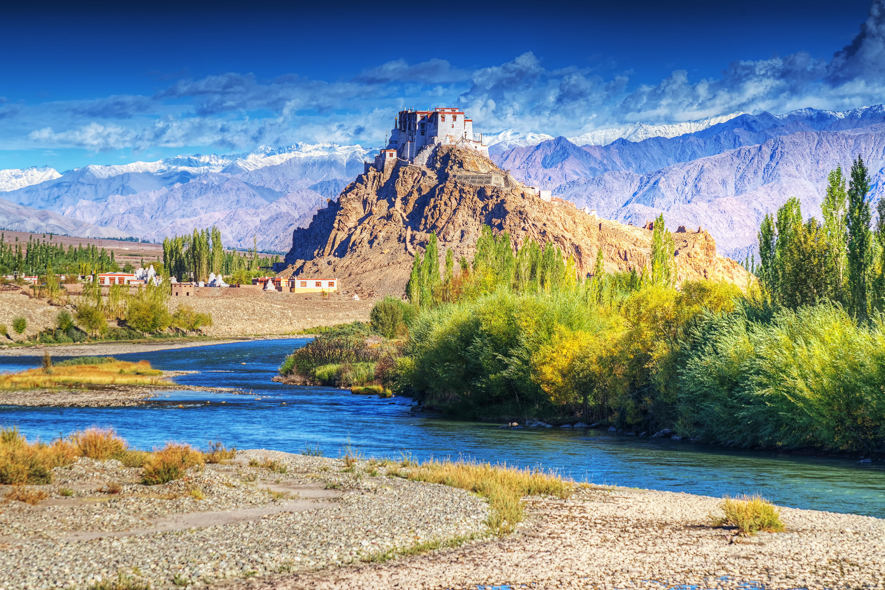
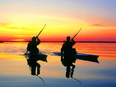
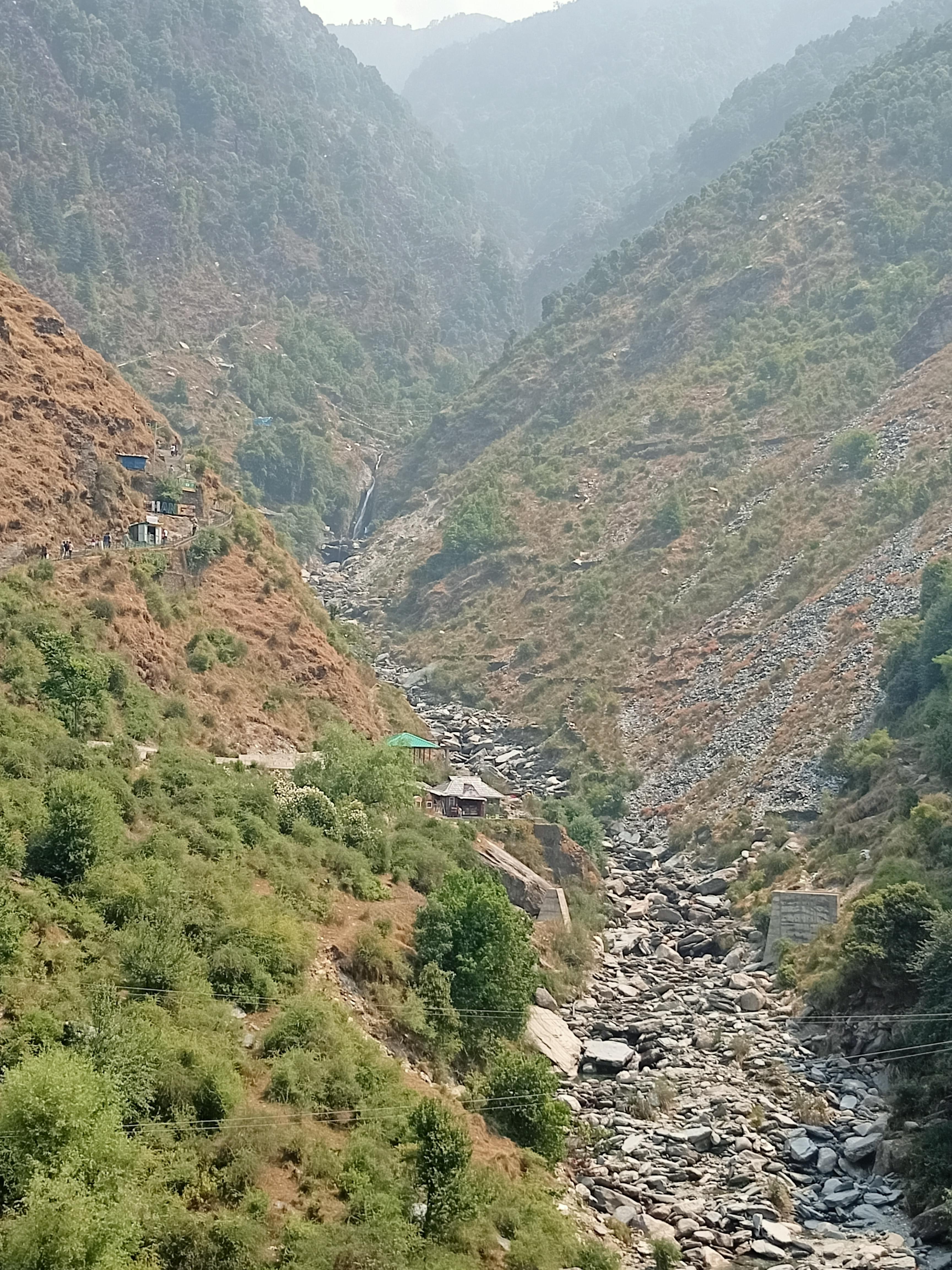
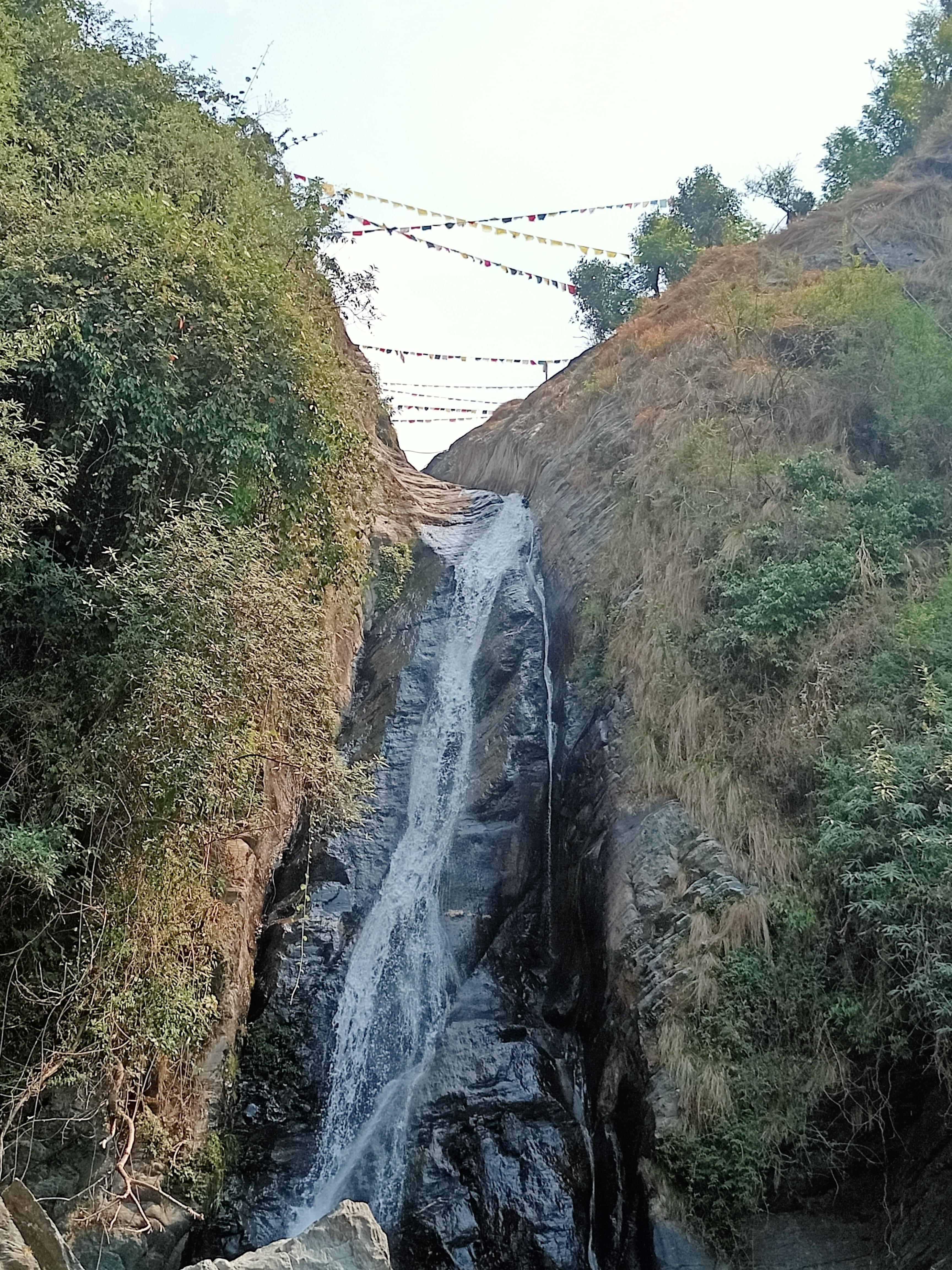
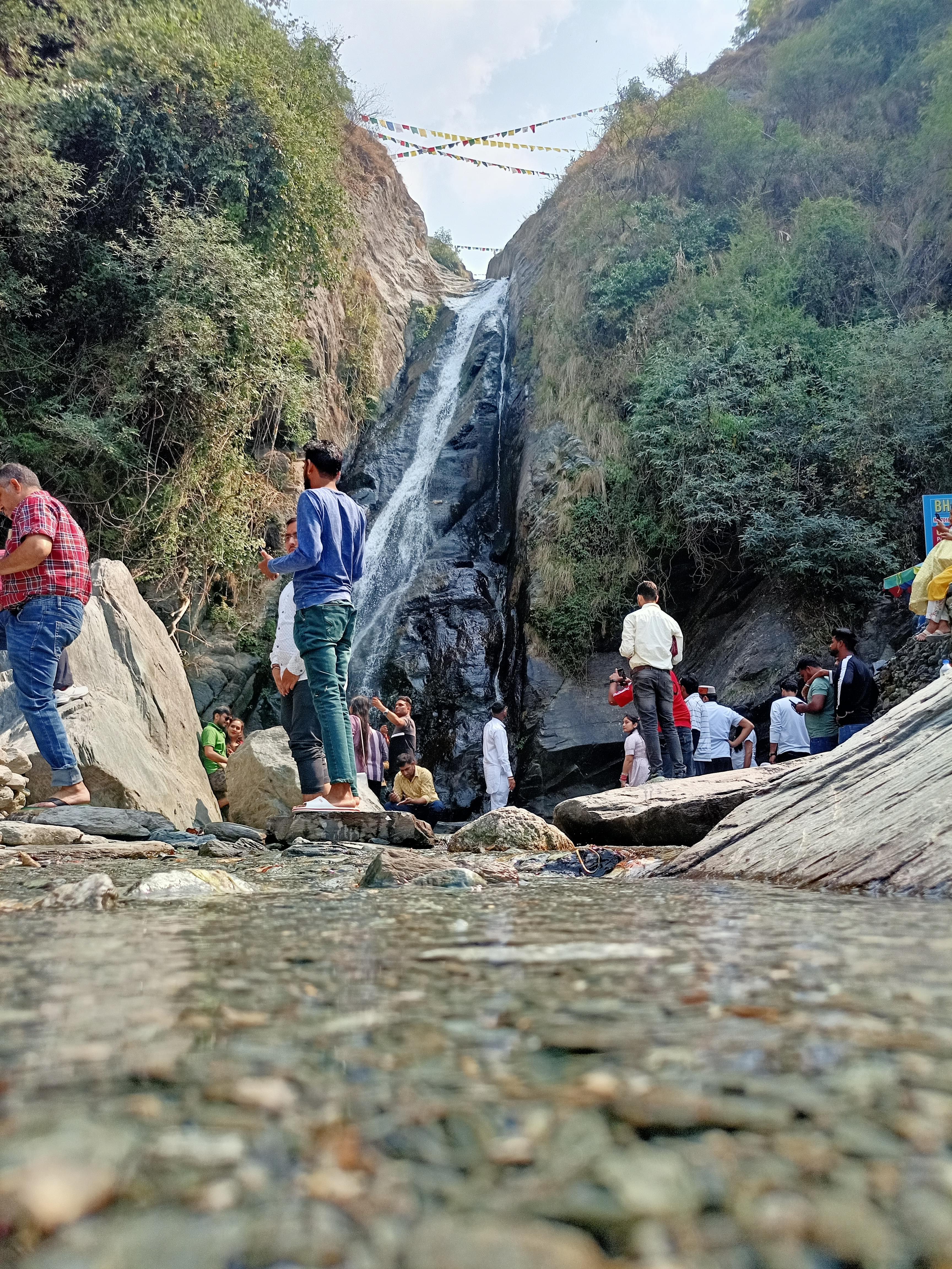
Trekking in Himalayas
Himalayas Trekking Packages | Duration | Price |
|---|---|---|
| Goechala Trek, Sikkim | 10 days & 9 nights | INR 15,950 |
| Triund Trek, Mcleodganj | 2 days & 1 night | INR 999 |
| Pin Parvati Trek, Himachal Pradesh | 10 days & 9 nights | INR 43,550 |
| Indrahar Pass Trek, Mcleodganj | 4 days & 3 nights | INR 6,499 |
| Kasol Camping with Chalal and Kheerganga Trek | 3 days & 2 nights | INR 2,190 |
| Kareri Lake Trek, Mcleodganj | 3 days & 2 nights | INR 2,899 |
| Friendship Peak Trek, Manali | 9 days & 8 nights | INR 34,500 |
| Kedarkantha Trek, Uttarakhand | 5 days & 4 nights | INR 6,490 |
| Chopta Chandrashila Trek from Delhi | 3 days & 2 nights | INR 3,499 |
| Everest Base Camp Trek, Nepal | 12 days & 11 nights | INR 46,950 |
| Parang La Trek, Ladakh | 9 days & 8 nights | INR 24,150 |
| Kashmir Great Lakes Trek | 7 days & 6 nights | INR 17,999 |
Brahmatal Trek, Chadar Trek, Dayara Bugyal Trek, Kedarkantha Trek, Deoriatal Chandrashila Trek, Everest Base Camp Trek, Har Ki Dun Trek, Sandakphu Trek, Valley of Flowers Trek, Tarsar Marsar Trek and many more adventurous Himalayan treks.
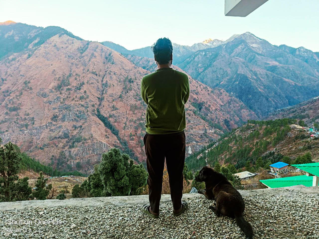
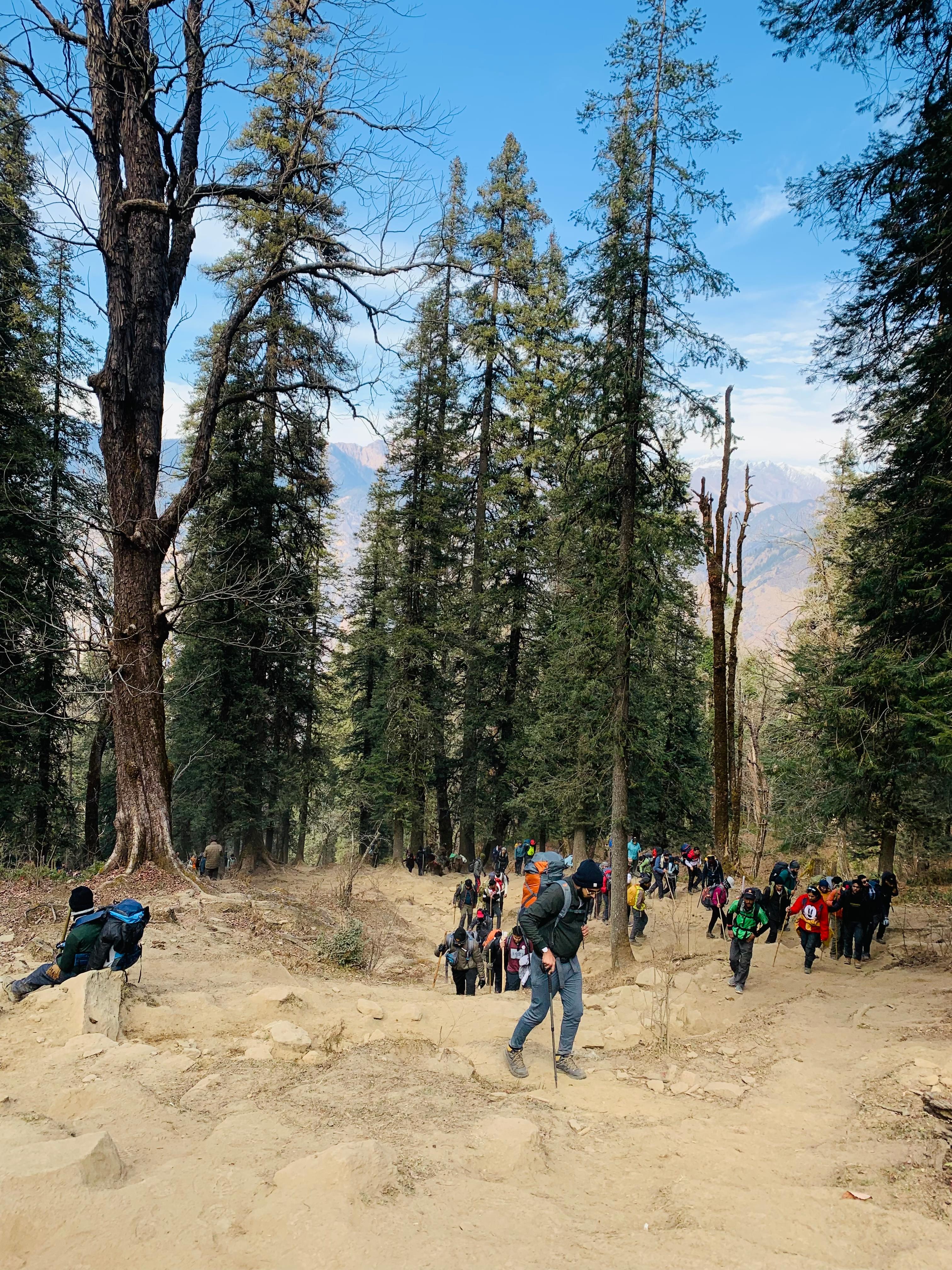
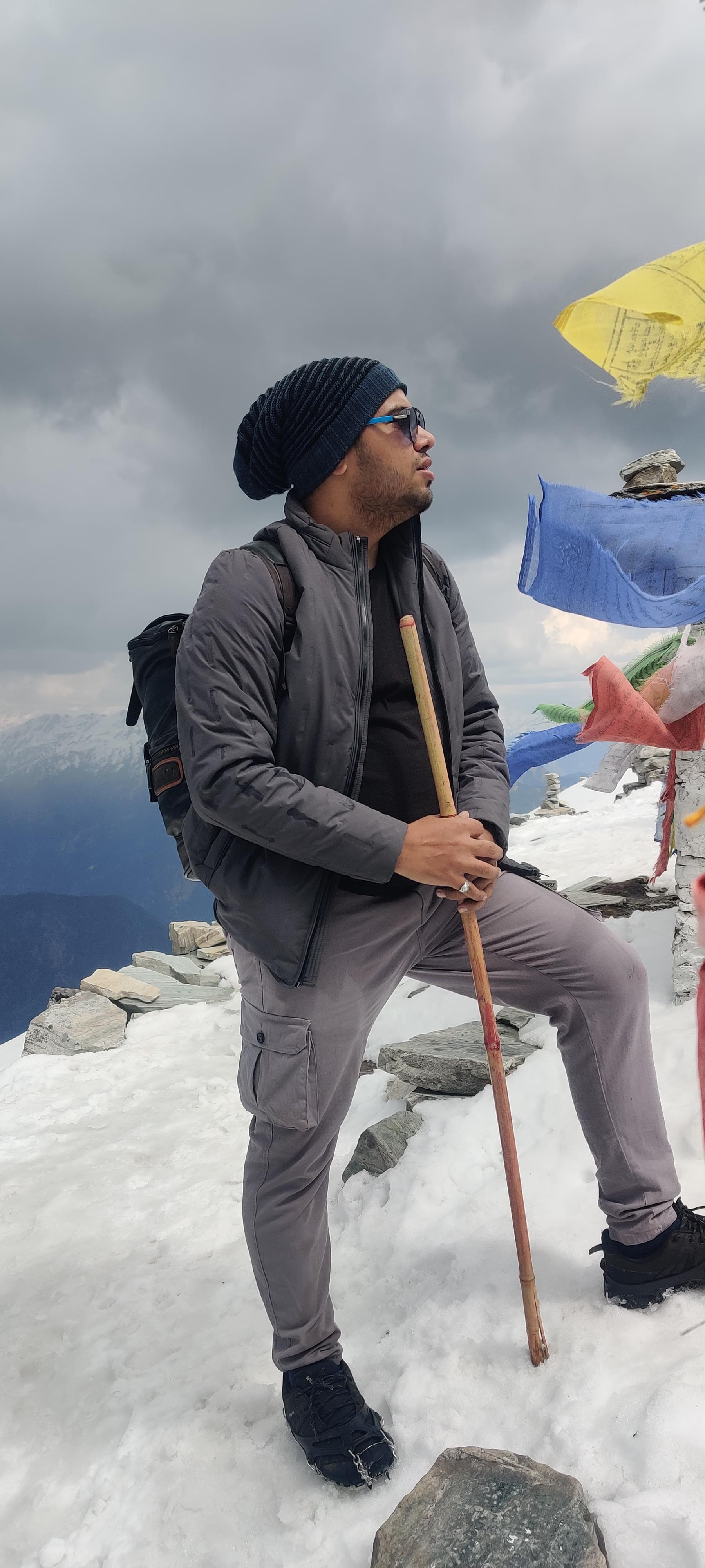
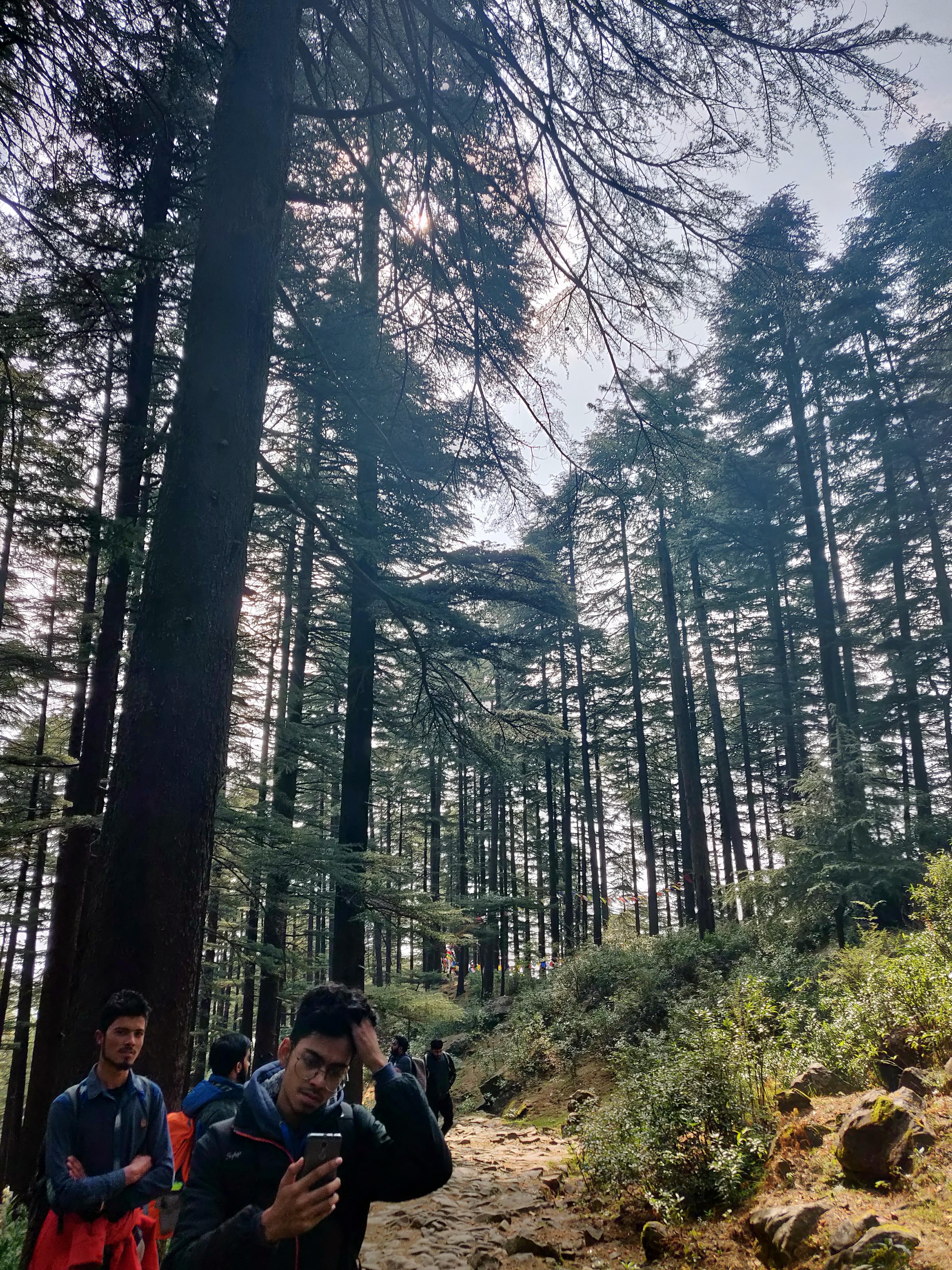
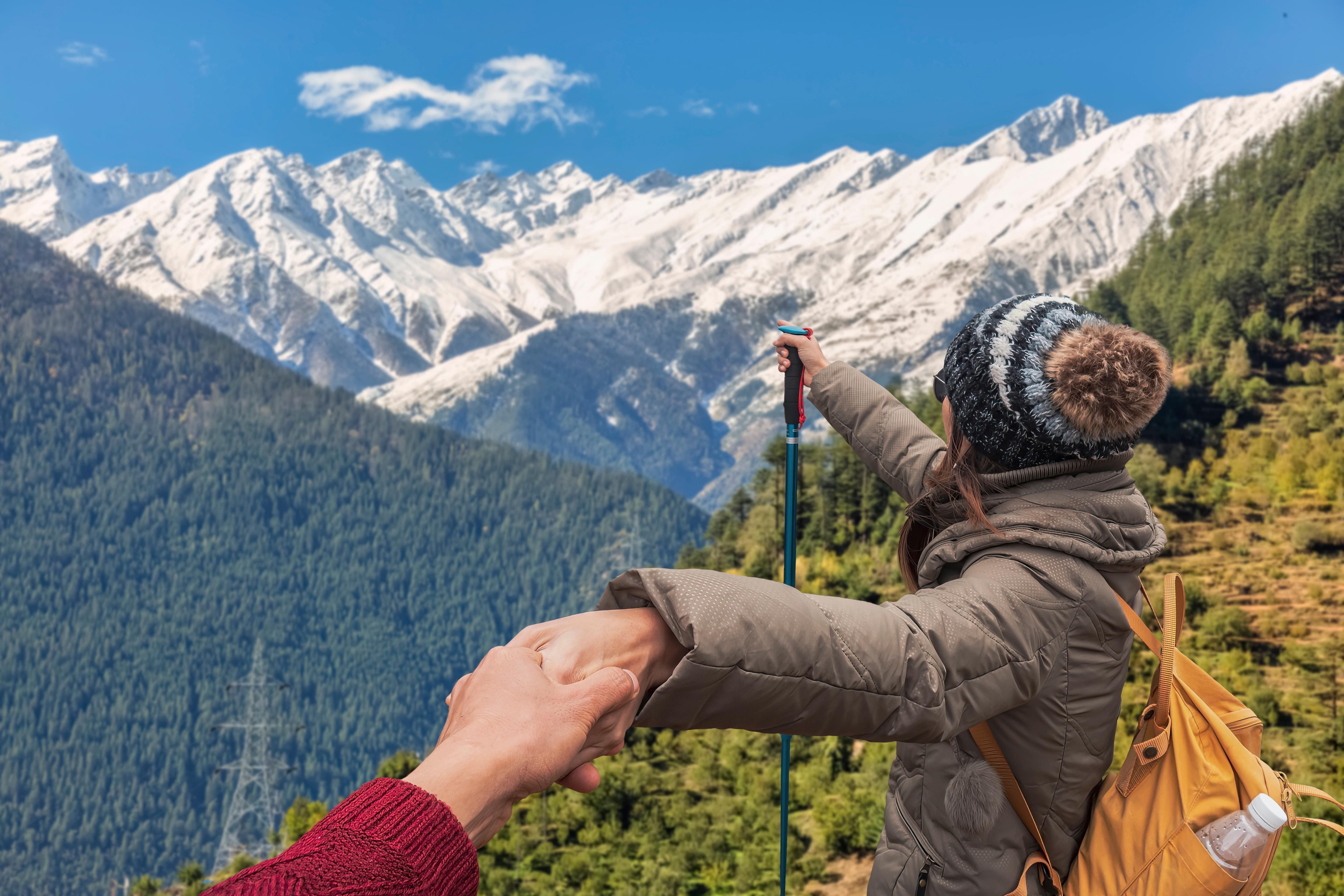
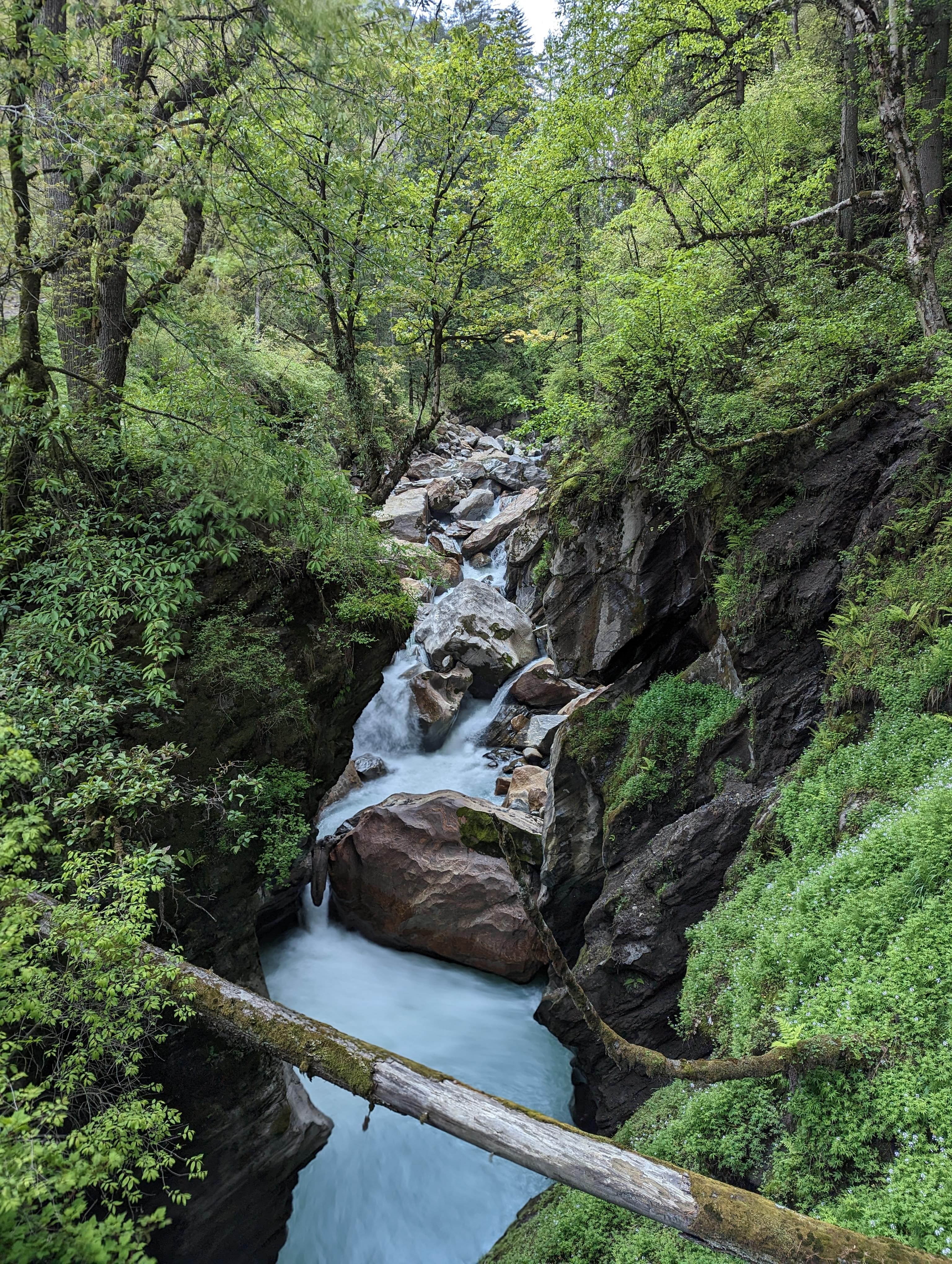
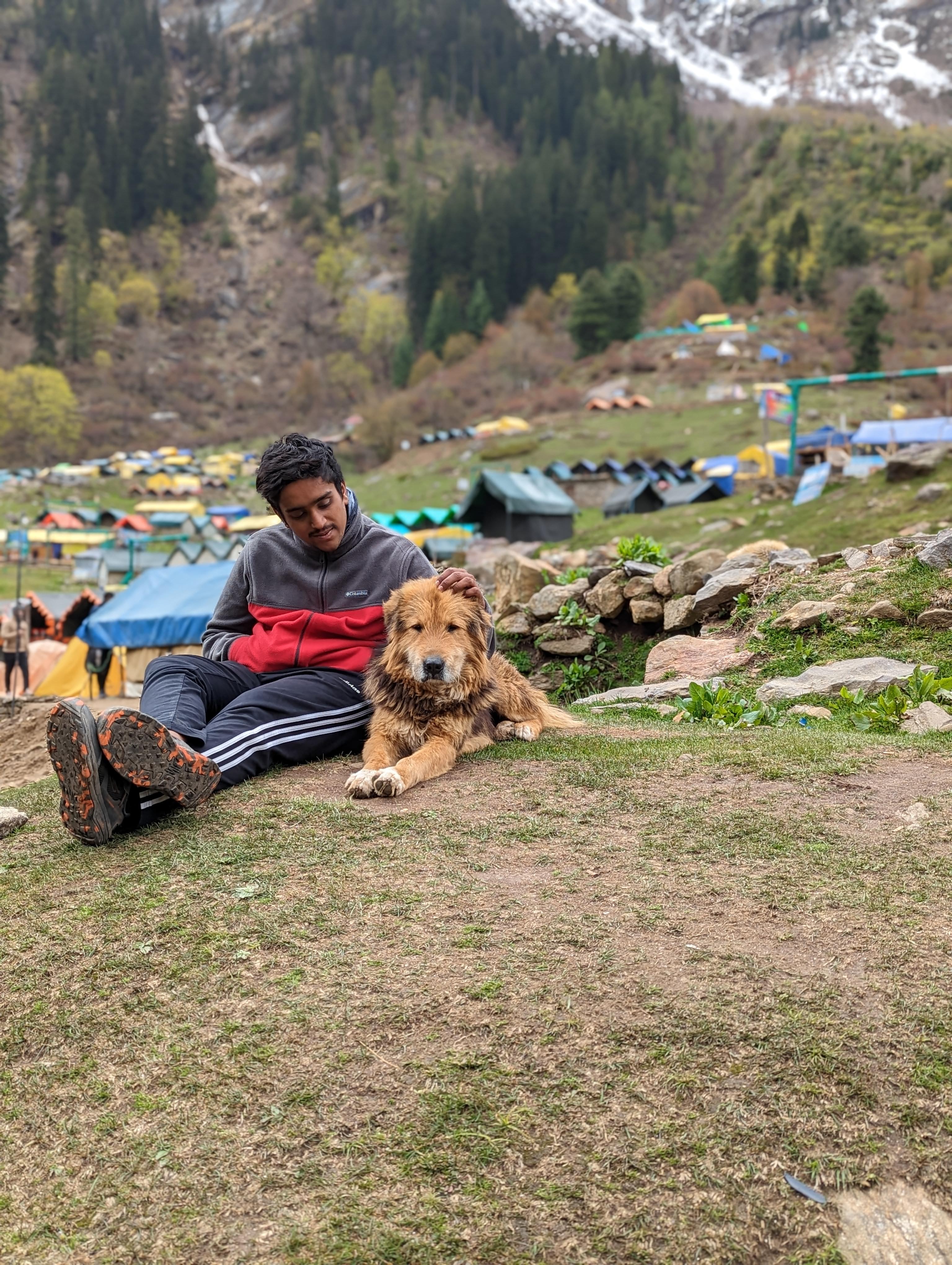
Trekking in the Himalayas is an outstanding experience to explore the majestic beauty of one of the most iconic mountain ranges in the world. Thrillophilia is a trusted companion that takes you on a journey through these awe-inspiring peaks. We offer a diverse array of trekking experiences like the Beas Kund Trek and the Annapurna Base Camp Trek.
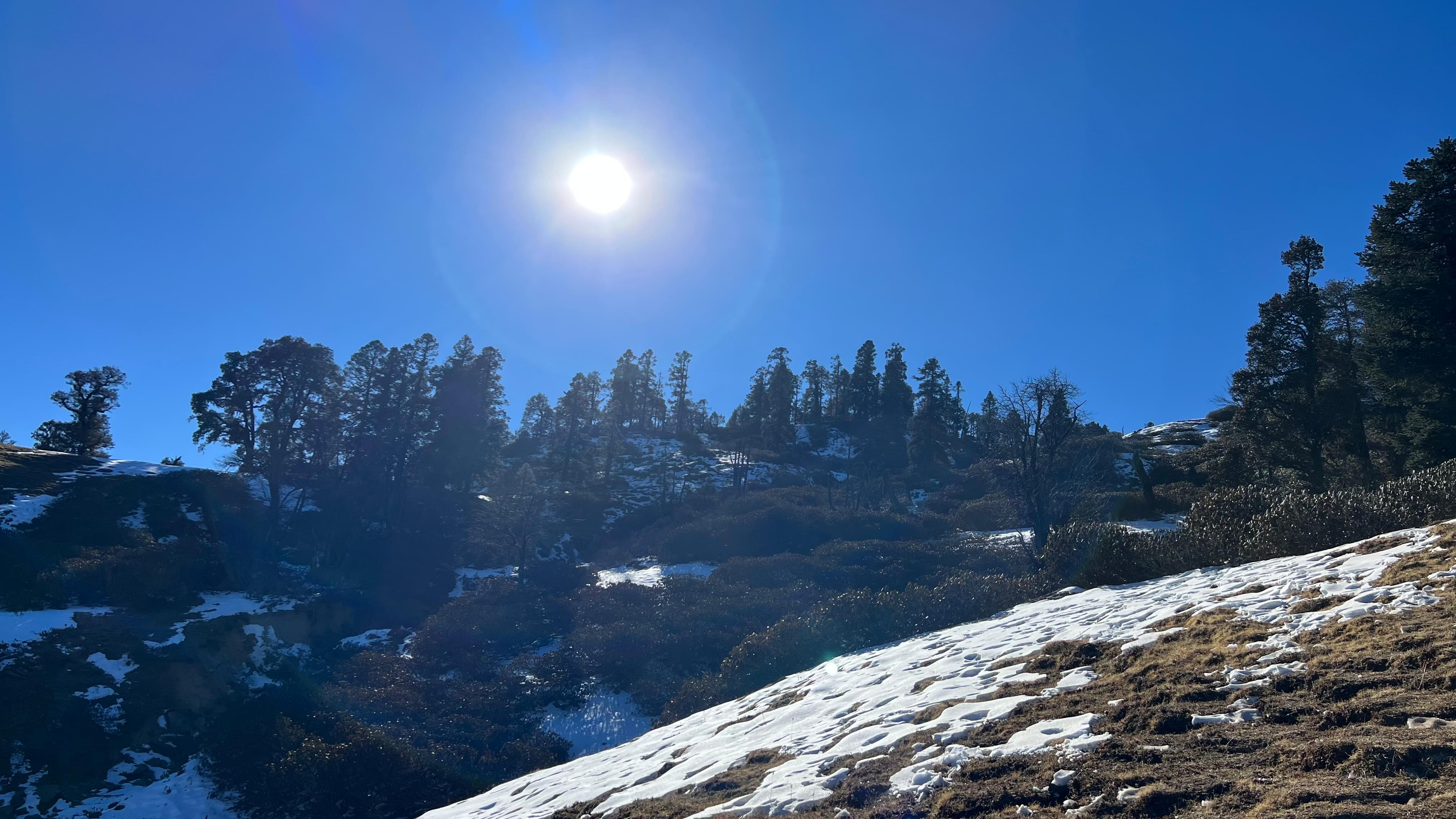
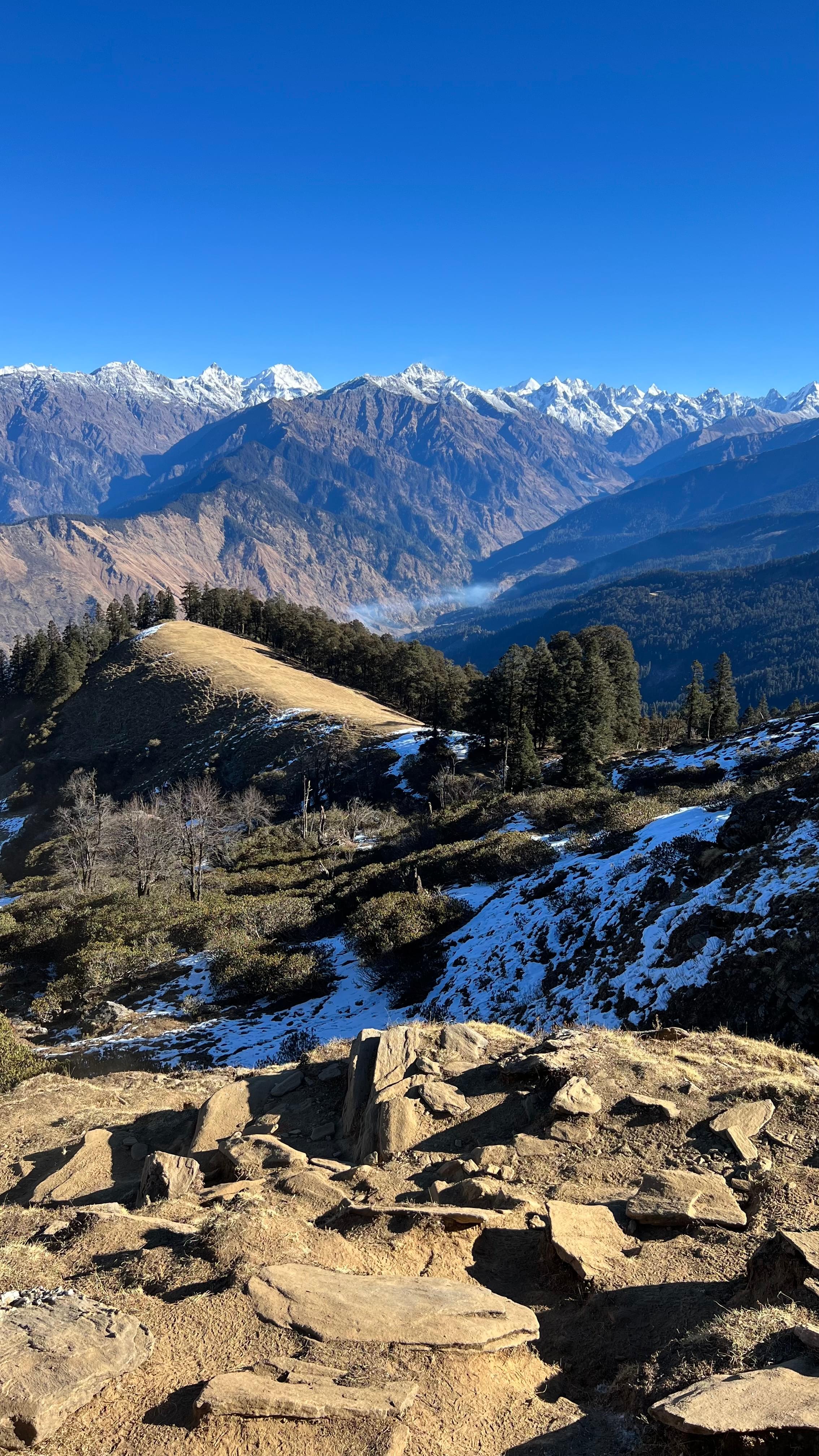
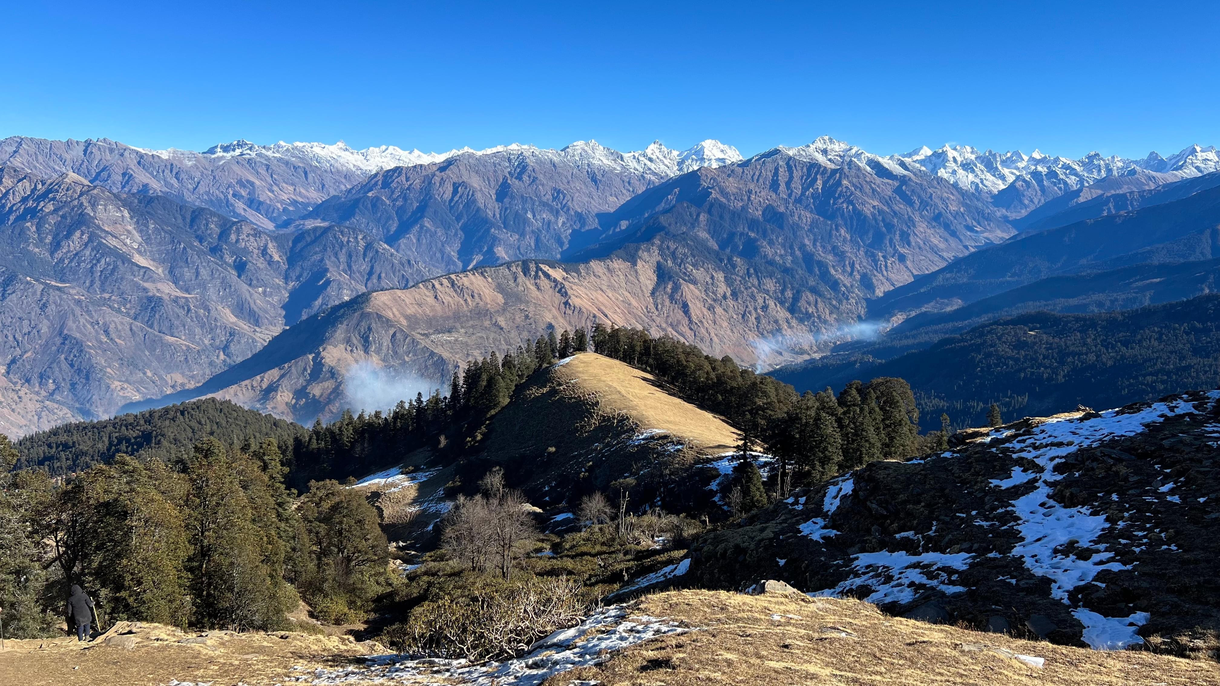
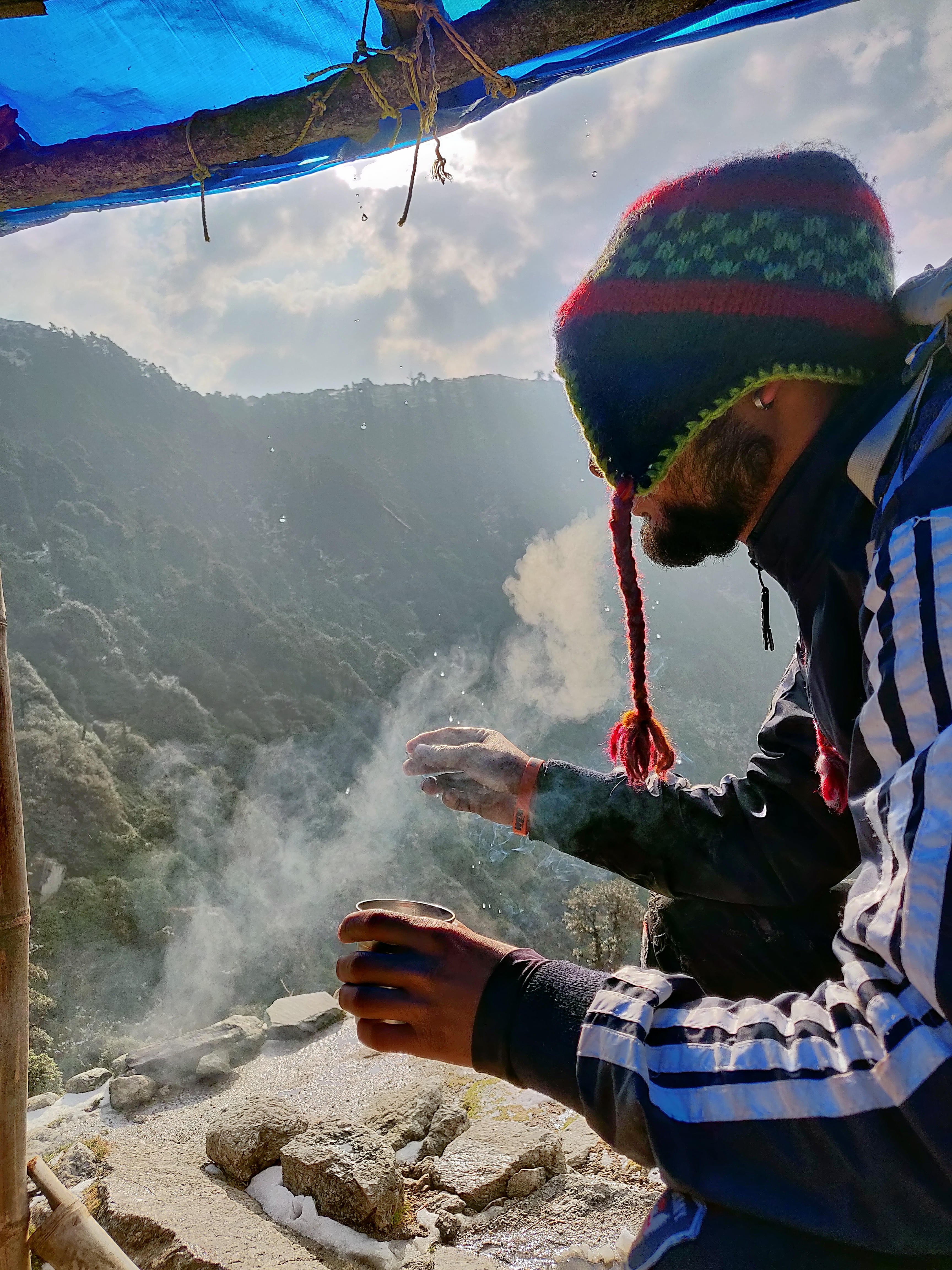
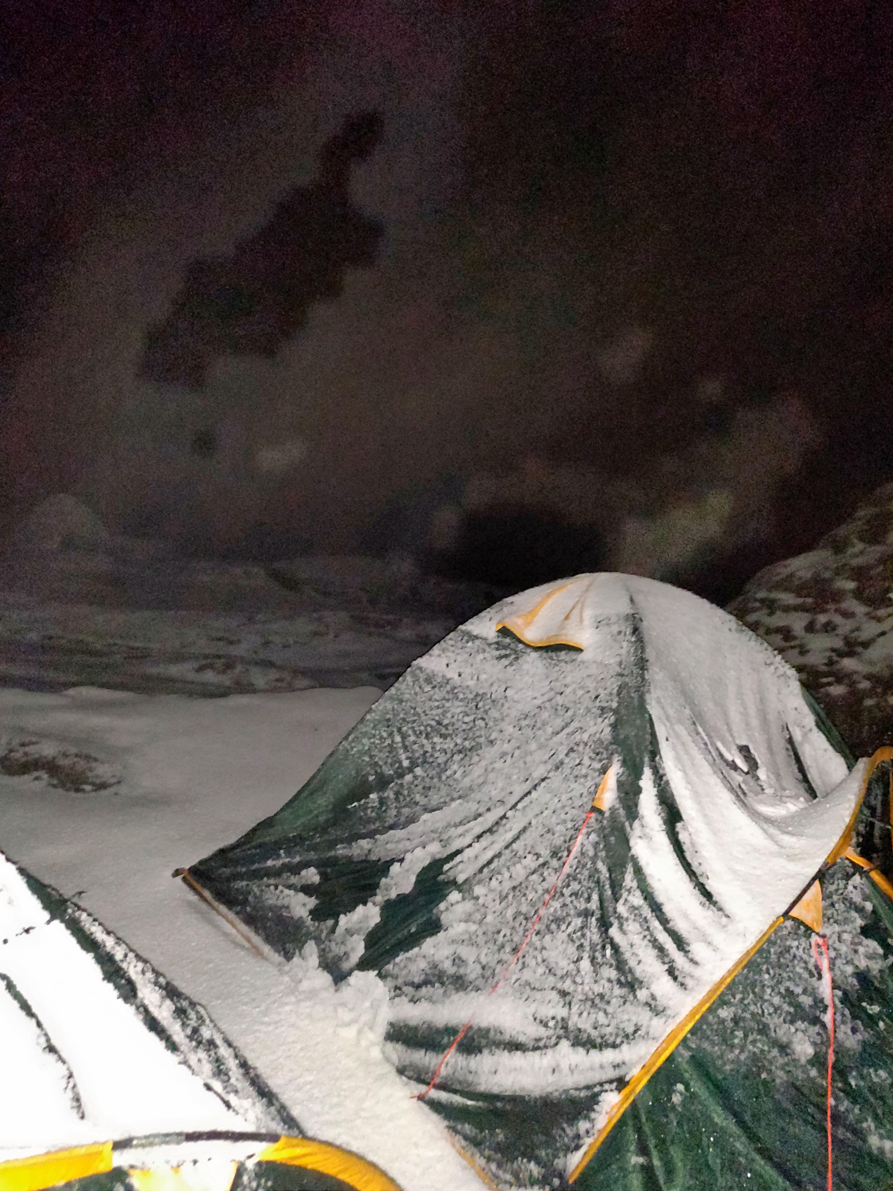
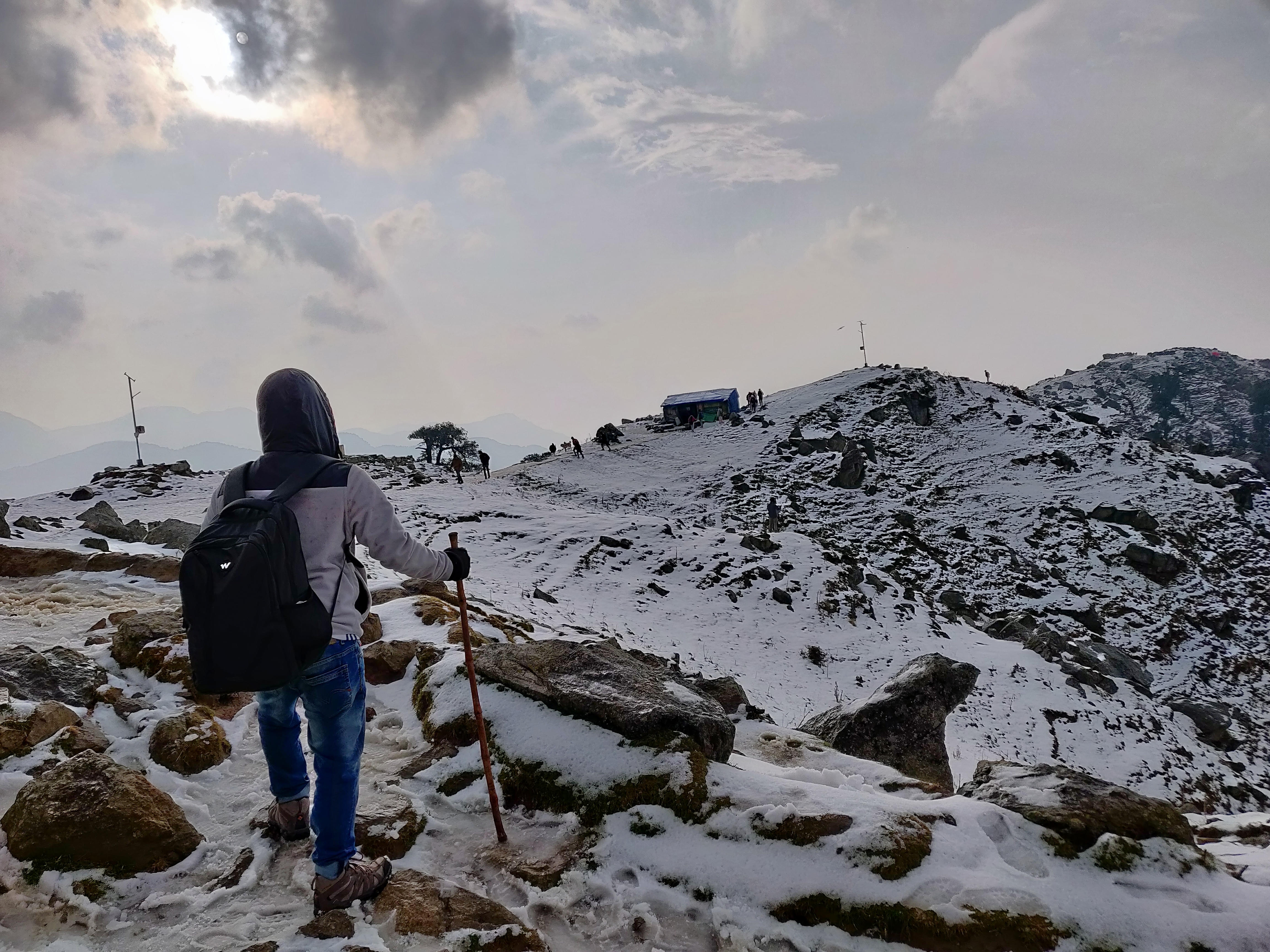
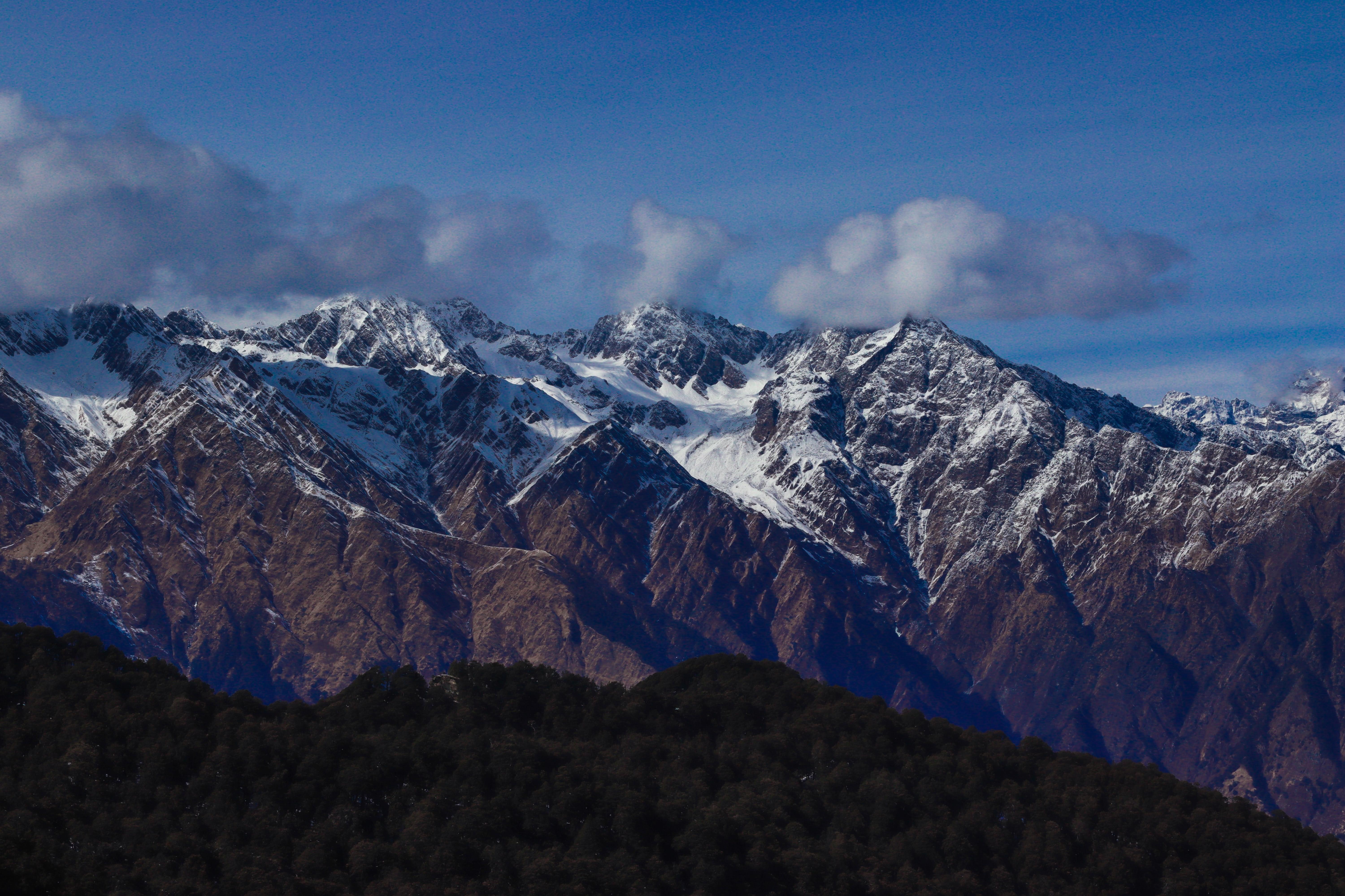
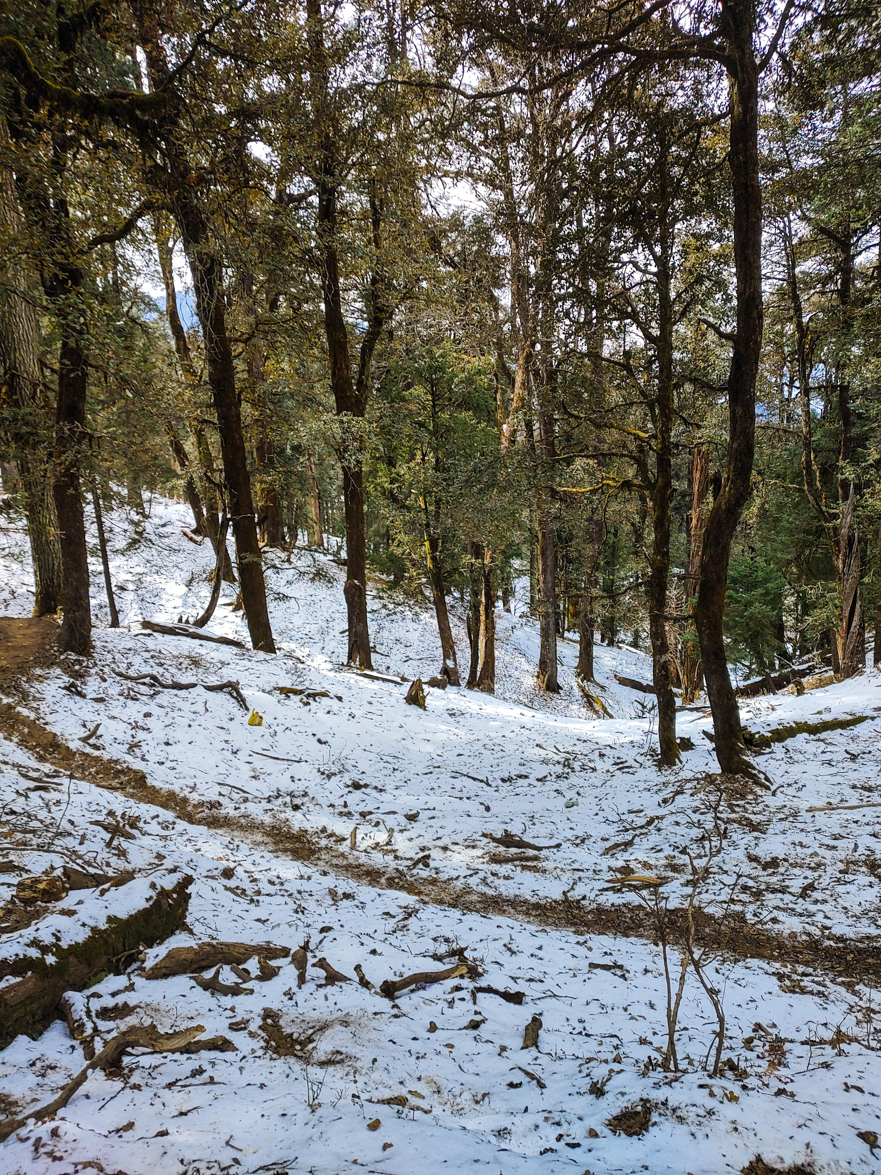
While ascending to higher altitudes, you will encounter a stretch of flower-filled meadows against the backdrop of gushing rivers that define the Himalayan landscape. During the winter season, the snow blankets the majestic mountains to provide a perfect setting for some of the best Himalayan treks. Among these, the Chadar Trek and the Sandakphu Trek are regarded as wonderful options if you love thrill and challenges.
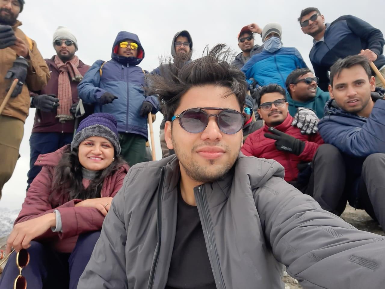
Welcoming both beginners and seasoned trekkers, trekking in the Himalayas caters to diverse skills. If you are just stepping into the world of trekking, the Triund Trek, Nag Tibba Trek, Kareri Lake Trek and Chanderkhani Pass Trek are great options to start with. On the contrary, experienced trekkers can challenge themselves with the Goecha La Trek, Everest Base Camp Trek, and Pin Parvati Pass Trek.
Before hopping on this adventure, it is essential to prepare thoroughly. You must be physically fit and have all the right gear to add to the overall enjoyment of the trekking experience. Thrillophilia will go that extra mile to arrange travel itineraries, thereby making your trekking experience a memorable adventure.
Here are some of the best Himalayan treks:
1. Brahmatal Trek:
Nestled in the Himalayas, Brahmatal is dedicated to Lord Brahma and stands as an undiscovered gem. The Brahmatal trek is one of the few winter Himalayan treks that features two Glacier lakes and an entirely snow-covered path. The trails are also adorned with centuries-old Oak and Rhododendron forests. With breathtaking views of Mt. Trishul and Nanda Ghunti, the trek offers glimpses of the famed Roopkund and the mystical Skeleton Lake.
Trek Difficulty: Moderate
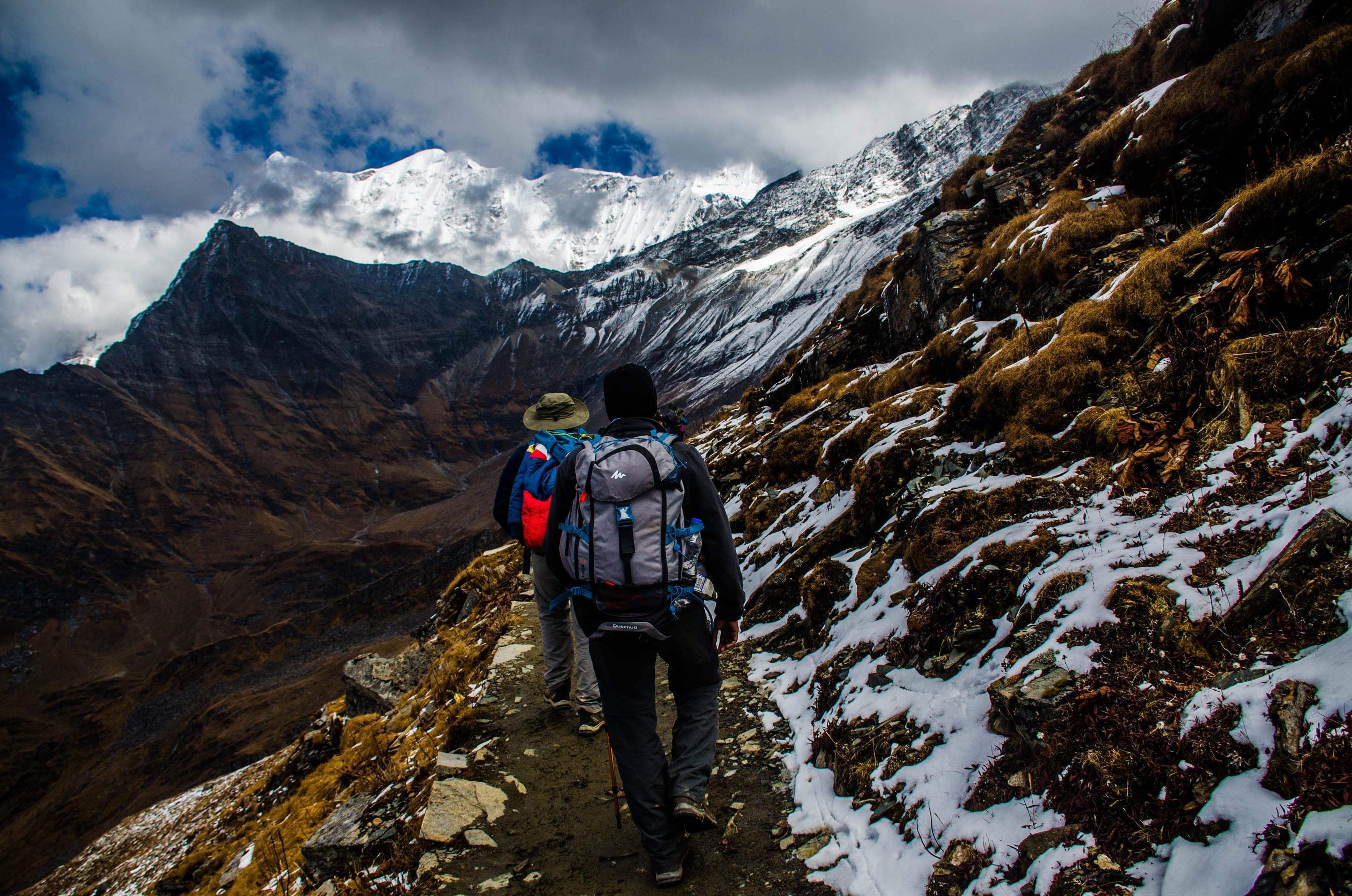
2. Chadar Trek:
Located in Ladakh, the Chadar trek is one of the unique treks in Himalayas that offers an ultimate test of persistence and survival. In sub-zero temperatures, the trek traverses you through the frozen Zanskar river gorge that resembles a "Chadar" or blanket, reflecting the sky. Besides walking on the frozen river, you can marvel at frozen waterfalls and engage with Zanskar villagers to uncover the rich history of the region.
Trek Difficulty: Hard
3. Dayara Bugyal Trek:
Situated at an altitude of 11,500 feet, Dayara Bugyal trek in Uttarakhand is a trek to one of the most enchanting alpine meadows in India. Offering 270-degree views of snow-clad peaks like Gangotri, Draupadi ka Danda, and biodiversity-rich valleys, it is a trek through the masterpiece of nature. Through this trekking journey, you can marvel at Mt. Bandarpoonch, Black Peak, and Mt. Srikanth, with each of them seemingly within an arm's reach.
Trek Difficulty: Easy
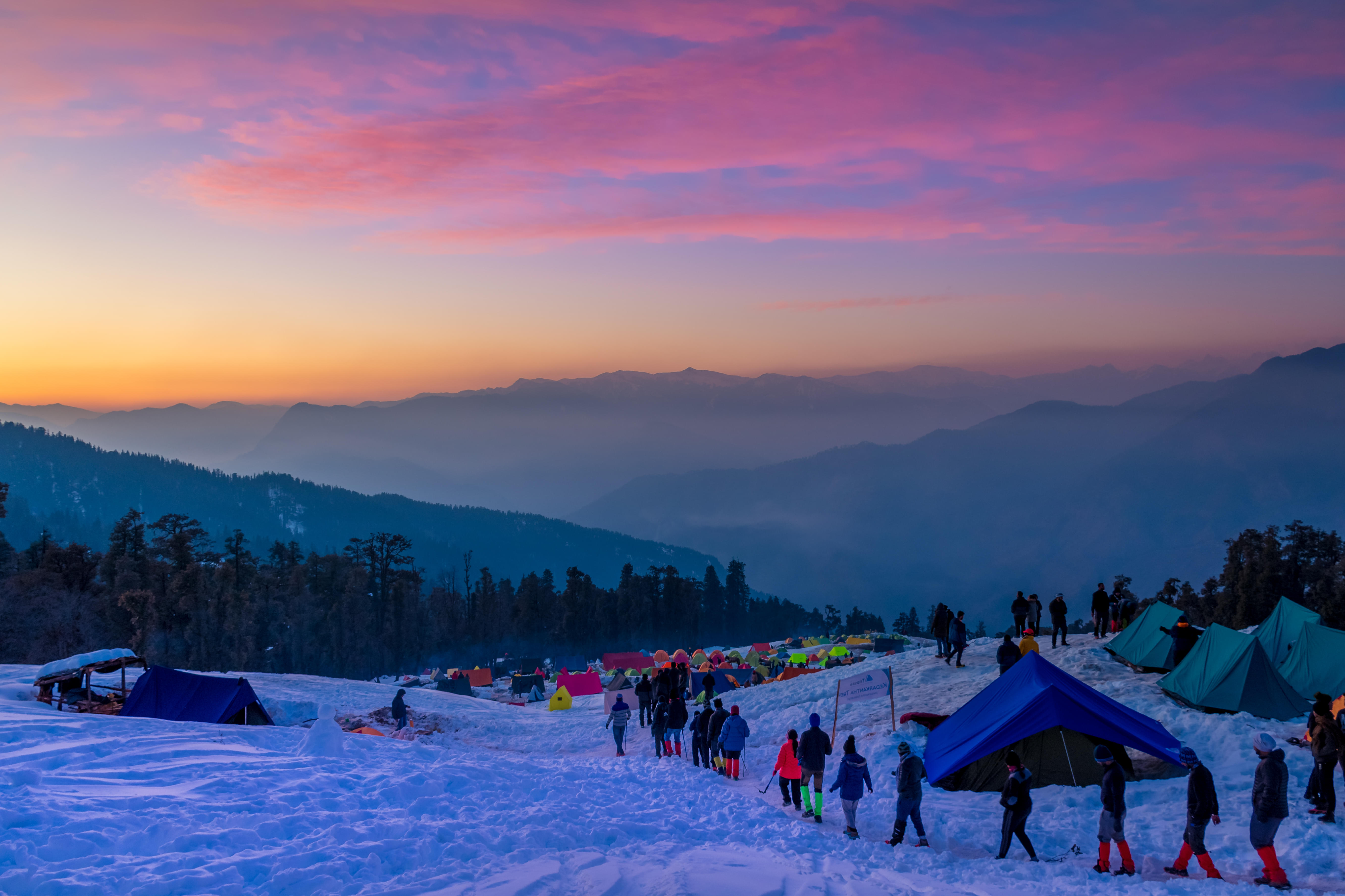
4. Kedarkantha Trek:
Kedarkantha Trek is the ‘Queen of Winter Treks’ that will captivate you with its knee-deep snow, mesmerizing vistas, and easy trails. Nestled in the pine forests of Govind National Park, it is one of those Himalayan treks that offers a gentle ascent to 12,500 feet. On this trek, you can capture the cosmic sky, lush meadows, snow-laden paths, quaint villages, fragrant pine forests, and mysterious whispers. The unique campsites, frozen Juda ka Talab, midnight walks, and sunrise from the summit provide a memorable trekking experience.
Trek Difficulty: Moderate
5. Deoriatal Chandrashila Trek:
Nestled in the Garhwal region of Uttarakhand, the Deoriatal Chandrashila trek is one of the fascinating Himalayan trekking places that starts from the quaint village of Sari. At an altitude of 2,438 metres, Deoria Tal mesmerizes with reflections of surrounding mountains and leads you through dense forests, streams, and waterfalls. Some of the famous activities that await at the serene lake are bird watching, camping, and stargazing. The trekking expedition continues to Chopta, Tungnath Temple, and Chandrashila to provide panoramic views of the snow-capped Himalayas.
Trek Difficulty: Moderate
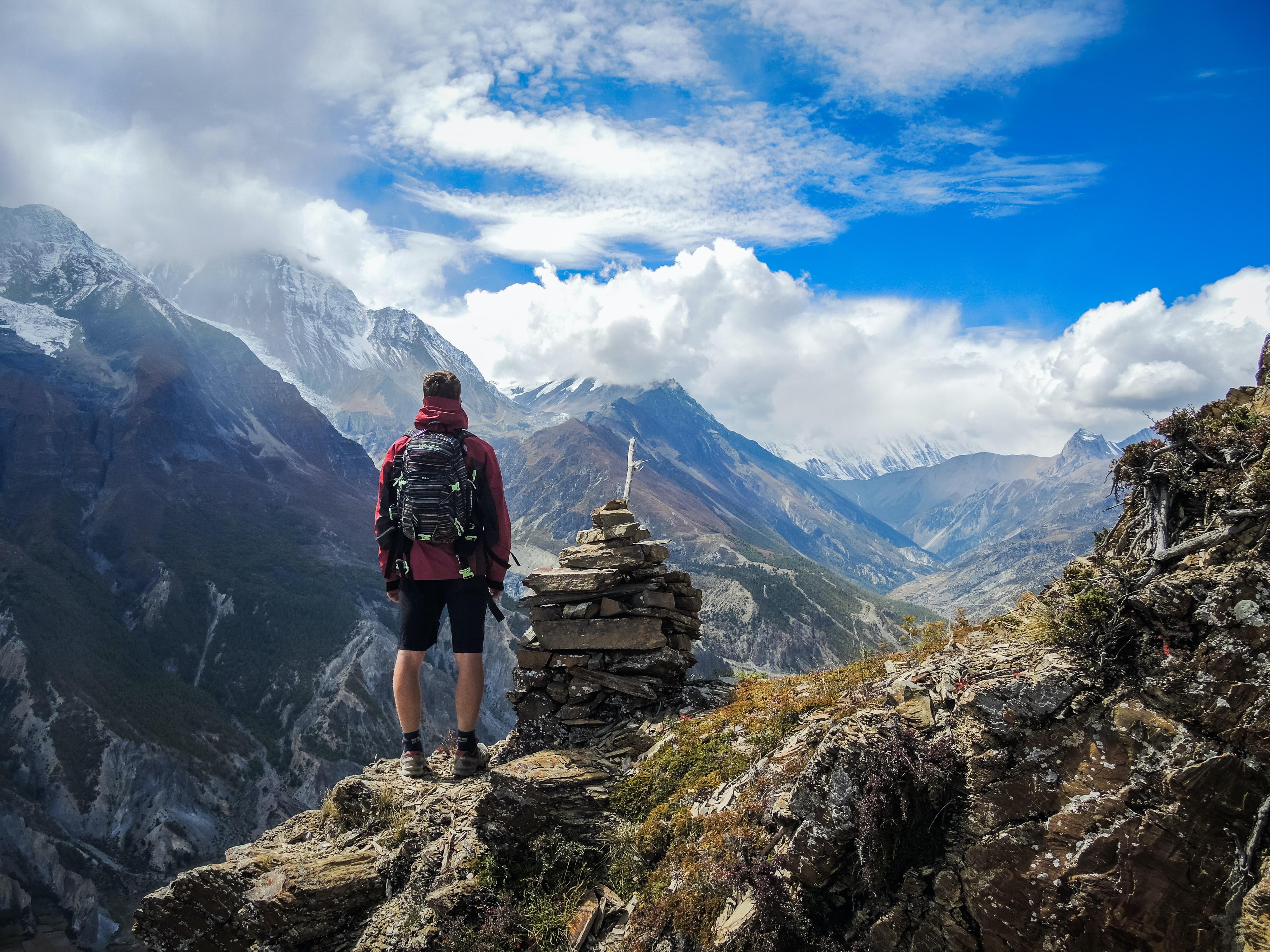
6. Everest Base Camp Trek:
Known as the “steps to heaven”, the Everest Base Camp Trek is a dream for every mountain enthusiast. This journey offers unparalleled scenery that transitions from lush green farmland and dense forests to barren landscapes and glacial pools as you ascend. Following the footsteps of Sir Edmund Hillary, you can conquer the highest mountain in the world and reach the pinnacle at Kala Patthar for panoramic views of Mt. Everest. The trek also includes a visit to the highest monastery in the world at Tengboche.
Trek Difficulty: Hard
7. Har Ki Dun Trek:
Also known as the Hanging Valley, Har Ki Dun Trek is one of the Himalayan treks that attracts trekkers and nature enthusiasts. Embraced by cradle-shaped mountains, it transforms into a winter wonderland with snow-covered trails and sun-kissed clouds. Ascending to around 12,000 feet, this trek unveils the mesmerizing Swargarohini peaks and mystical flora and fauna. It allows you to follow the ancient Pandava route from the Mahabharata, explore 2,000-year-old villages, and experience the rich local culture.
Trek Difficulty: Moderate
8. Sandakphu Trek:
Perched at 11,930 feet, Sandakphu Trek is another one of the trekking places in Himalayas that offers stunning views of Everest, Kangchenjunga, Lhotse, and Makalu. Traversing the Singalila Ridge along the Sikkim-Nepal border, it winds through small settlements within the biodiverse Singalila National Park. Here, you can witness the iconic "Sleeping Buddha" formation and the breathtaking horizon of Mt. Everest. On the way, you will also discover the mystical Kalpokhri Lake and experience the vivid colours of rhododendrons and magnolias in spring.
Trek Difficulty: Moderate
9. Valley of Flowers Trek:
Valley of Flowers Trek is a beautiful Himalayan trekking expedition that unfolds surreal vistas with the mighty Himalayas as a backdrop. This UNESCO World Heritage Site boasts millions of wildflowers, including rare blue Primula. It is said that Lord Hanuman brought this magical herb for Lord Lakshman in Ramayana. The trek is a heaven for flower lovers, botanists, and bird watchers due to its diverse fragrances, and it leads to Hemkund Sahib.
Trek Difficulty: Moderate
10. Tarsar Marsar Trek:
Situated at an elevation of 13,201 feet in the pristine landscapes of Kashmir, the Tarsar Marsar Trek stands out among Himalayan treks. This trek unfolds majestic views of three alpine lakes, namely Tarsar, Marsar, and Sundarsar, with each one of them surrounded by lush green meadows. Amid splendid Chinar tree forests and the glacier-fed Lidder River, each snow-fed lake changes shades throughout the day. You can also behold the spectacular Bhagirathi and Alaknanda river views, marvel at the magic of cloud-covered Marsar Lake, and experience the rare sight of the glittering blue waters of the lakes.
Trek Difficulty: Moderate
11. Hampta Pass Trek:
Among other treks in Himalayas, the Hampta Pass trek allows you to embark on a journey where nature gives way to unpredictable terrains. This trail transitions from lush Kullu-Manali valleys to the barren landscapes of Spiti while offering surprises at every turn. It is a thrilling adventure with dramatic changes in landscapes, including vertical rock walls, glossy grasslands, gurgling streams, waterfalls, and hanging glaciers. Through this trek, you can visit Chandratal and witness the confluence of Hampta, Rohtang, and Spiti passes.
Trek Difficulty: Moderate
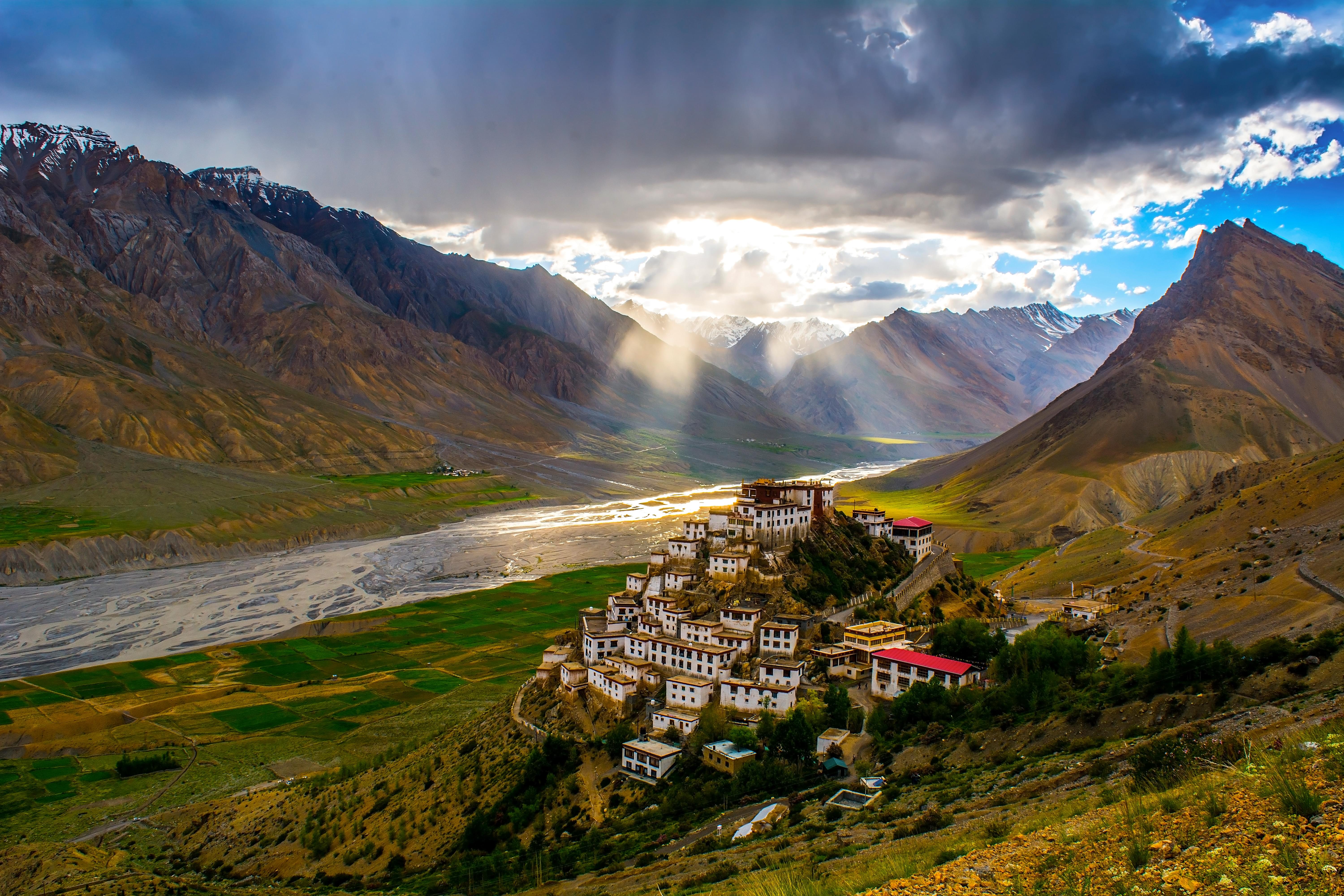
12. Goechala Trek:
Perched at 16,207 feet, GoechaLa Trek is one of the difficult treks in Himalayas that reveals the breathtaking beauty of Mt. Kanchenjunga, the third-highest peak in the world. This trek is a dream for adventure lovers as it immerses you in vibrant flora and fauna along the Kanchenjunga National Park trail. Ideal in April and May for clear skies, it treats you to mesmerizing views of Pandim Peak at Samiti Lake, captivating sunrises from Dzongri Top, and the southeast face of Mt. Kanchenjunga at GoechaLa Pass.
Trek Difficulty: Hard
13. Buran Ghati Trek:
Ascending to 15,000 feet, the Buran Ghati Trek takes you to the ancient village of Buran that charms you with old houses and fruit-bearing trees. Surrounded by dense oak and pine forests, it is one of those Himalayan trekking places that leads you to splendid views of Dayara meadows and the enchanting Chandranahan Lake. En route, you can marvel at Chanshal Peak and the majestic Dhauladhar ranges.
Trek Difficulty: Hard
14. Rupin Pass Trek:
Located at 15,250 feet in the Himalayan range of Himachal Pradesh, the Rupin Pass Trek gives way to a mesmerizing journey. Starting from Dehradun in Uttarakhand to Shimla in Himachal Pradesh, the trek explores local cultural beauty in small hamlets. It allows you to cross incredible snow bridges, cascades, glacial meadows, and snow-kissed mountains. With its exhilarating crossing, the pass provides a complete experiential trek by offering a pictorial view of the lofty Kailash Peak and the uniquely positioned Jhaka village hanging from a cliff.
Trek Difficulty: Hard
15. Gidara Bugyal Trek:
Gidara Bugyal Trek stands as an ancient and renowned Himalayan journey that displays one of the vast high-altitude meadows of India. Surpassing even the well-known Ali Bedni Bugyal trek, it offers a unique ridge walk that sets it apart from the other treks in the Himalayas. The campsites of the trek in the grasslands of Gidara extend beyond the enchanting forest and provide a spectacular setting for trekkers. With its expansive meadows, this trek is a captivating adventure into the heart of the beauty of nature.
Trek Difficulty: Hard
Himalayas Trekking Packages
Best Trekking Destinations
Our Partners
Newly Added Experiences
Tourism Board Alliances
Himalayas Trekking FAQs
Which are the best summer Himalayan treks?
Kedarkantha Trek: Located within the Govind Wildlife Sanctuary, the Kedarkantha Trek is the epitome of Himalayan beauty. In summers, the forests and valleys are in full bloom, offering a stunning trekking route.
Goecha La Trek: Snaking its way across the mighty Kanchenjunga, Goecha La is one of the most popular mountain passes in the Himalayas for trekking purposes. The Goecha La Trekking route is pretty challenging, and is best suited for seasoned trekkers.
Har ki Dun Trek: Har Ki Dun is a serene hanging valley nestled in the Garhwal Himalayas. The 7kilometer long trekking route here takes you across valleys brimming with orchids and rhododendrons, quaint hamlets and swift streams. Despite being a high-altitude trail, the Har Ki Dun route can be attempted by beginners as well.
Valley of Flowers: Full to the brim with colourful wildflowers, the Valley of Flowers promises views of utmost enchanting beauty. This easy trekking route takes you through the Valley of Flowers National Park, famed for its collection of endemic flora and fauna.
Which are the best winter Himalayan treks?
Sandakphu Trek: A fairly easy route, the Sandakphu trail is known for offering a unique panoramic view of the four major mountain peaks in the world- the Makalu, Lhotse, Kanchenjunga, and the Everest. The scenic trail also takes its trekkers through the Singalila National Park, coloured with the hues of the local floral life.
Chopta Chandrashila Trek: Graded easy for beginners, the stunning Chopta Chandrashila route takes you across icy lakes, daunting glaciers and snow-clad meadows. The beauty of the route is enhanced in winter, when the entire vicinity is cloaked in white.
Chadar Trek: This unique trek takes you across the Zanskar Lake, which remains frozen during the winter months, appearing as a white sheet or ‘Chadar’. This Himalaya trekking route is also known to offer some of the most unique sights of frozen waterfalls and rivers.
Prashar Lake Trek: Offering views fit for kings, this relatively short and easy trekking trail takes its trekkers from the village of Mandi to the beautiful Prashar Lake. The route, which is a fairly easy one, travels across several forests and streams, and is known to command beautiful views of the surrounding peaks.
How much does it cost to trek the Himalayas?
It will typically cost you anywhere between INR 845 and INR 69,550 per person to enjoy the best treks in Himalayas for a duration of 2 to 12 days. This cost includes your accommodation in tents and homestays, meals and snacks, local transfers, and trekking permits. The price also varies based on factors like the trekking operator chosen, the difficulty level, and the time of the year.
What is the best time for trekking in the Himalayas?
Peak Season- The peak season for Himalayan treks falls between March and April and then from October to November. During this time, the region enjoys the spring and autumn seasons, respectively. Both these seasons allow you to catch a glimpse of beautiful blooming landscapes under clear blue skies.
Shoulder Season- The summer and winter seasons are regarded as the shoulder season. This period spans from May to June and then from December to February, respectively. It is the perfect time to indulge in unique opportunities, whether it is seeing luscious greenery during summer or snow-covered peaks during the winter season.
Waning Season- July to September marks the waning season for trekking in the Himalayas when the region experiences the monsoon season. This season offers spiritual treks in Uttarakhand, such as the Valley of Flowers Trek and Pin Parvati Trek.
What is the average temperature while trekking in the Himalayas?
The average temperature while trekking in the Himalayas ranges between 8 and 15 degrees Celsius during the day. On the contrary, the nighttime temperature drops between 3 and -5 degrees Celsius. The weather also remains pleasant to enjoy some of the best Himalayan treks with your group of friends or cousins.
Which are the easy Himalayan treks?
Valley of Flowers: Travelling across the enchanting Valley of Flowers, this Himalaya trekking route is one of the most beautiful treks in the Himalayas. The trail is a fairly laidback one, and is one of the best choices for beginners.
Beas Kund Trek: One of the most sought after treks in Manali, the Beas Kund Trek is perfect for camping enthusiasts.
Bhrigu Lake: Nestled on the scenic Kullu Valley, the trail to Bhrigu Lake is known for its splendid sights of plantations, rivulets and forested lands.
Prashar Lake Trek: An easy yet enticing trek, the Prashar Lake route travels across beautiful forest-clad lands to reach the eponymous lake.
Which are the most difficult Himalayan treks?
Chadar Trek: Making its way across the frozen Zanskar river during winter, Chadar Trek is one of the best trekking places in Himalayas. The temperature here during winter can dip as low as -40 degrees, adding an added thrill to the journey.
Kalindi Khal Trek: Nestled at an elevation of about 6,000 meters above sea level, the Kalindi Khal is the highest trekkable mountain pass in the world. Trailing across lush forests and gushing streams, the Kalindi Khal trek is known to command excellent views of the surrounding peaks.
Kanchenjunga Base Camp trek: One of the most adventurous Himalaya trekking routes in the world, this trekking route travels across the gargantuan Kanchenjunga Massif.
Pin Parvati Pass Trek: Restricted only for seasoned, adult trekkers, the Pin Parvati Trek is one of the best Himalayan treks for adventure seekers. The route snakes its way across alpine meadows and brimming forests, making it one of the most picturesque trails as well.
Is Brahmatal trek difficult than Chadar Trek?
Which is the highest peak of India in Himalayan range?
What is the average duration of a beginner-level Himalayan trek?
Are there age restrictions for beginners on these treks?
How do I get physically fit for trekking?
To get physically fit for trekking in Himalayas, you are required to focus on running. It is a key exercise that engages trek-relevant muscles, enhances lung capacity, and strengthens the heart. You can start running one month before the trek and gradually increase from 15 to 25 kilometers weekly. Cardio exercises, like hiking and stair climbing, are also recommended to improve endurance. You can even undertake swimming and cycling activities to prepare yourself for the trekking adventure.
How do I prepare for trekking in the Himalayas?
Preparing for trekking in the Himalayas packages involves focusing on physical fitness, mental readiness, gear, and detailed planning. The physical preparation includes running and cardio exercises that enhance endurance for high-altitude treks. Mental preparation is important for beginners, so they can set expectations at the start. The clothing essentials consist of layering, choosing quick-dry fabrics, and packing light. It is also advisable to carry prescribed medicine, a basic medical kit, and biodegradable soaps.
What type of shoes are required for trekking in the Himalayas?
A pair of water-resistant shoes are required for trekking in the Himalayas. It allows you to navigate snow, rain, and water bodies. You can opt for higher-cut trekking shoes that provide ankle support and stiffer construction for rough terrains. Some of the brands like Wildcraft, Himgear, and Quechua offer suitable shoe options that range from INR 3,500 to INR 6,500.
Are there professional guides and support staff available during the treks?
Are night stays available while trekking in the Himalayas?
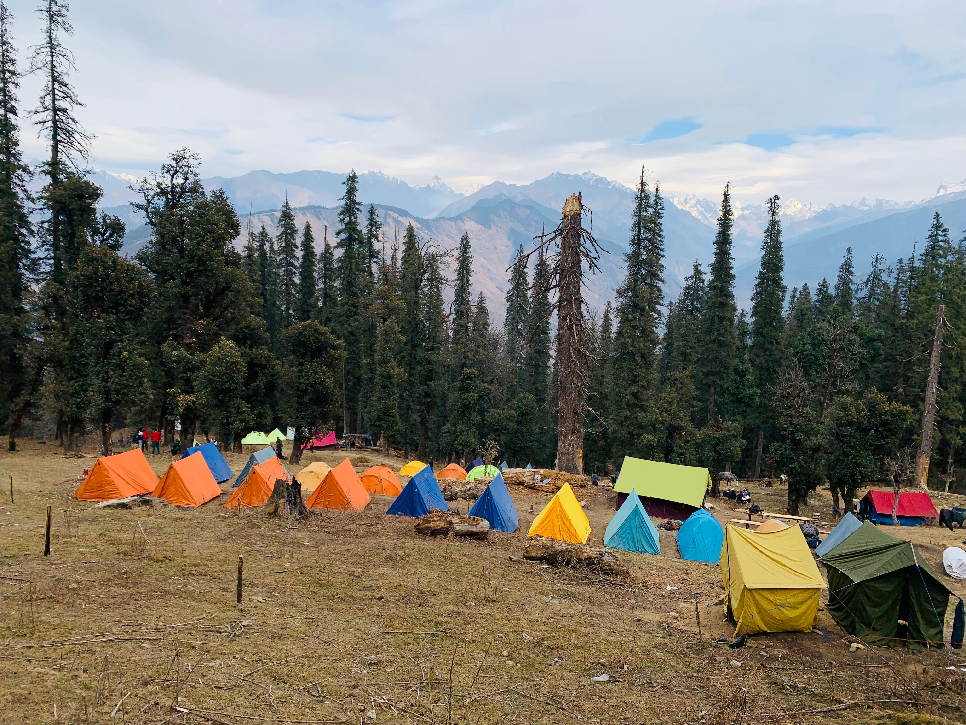
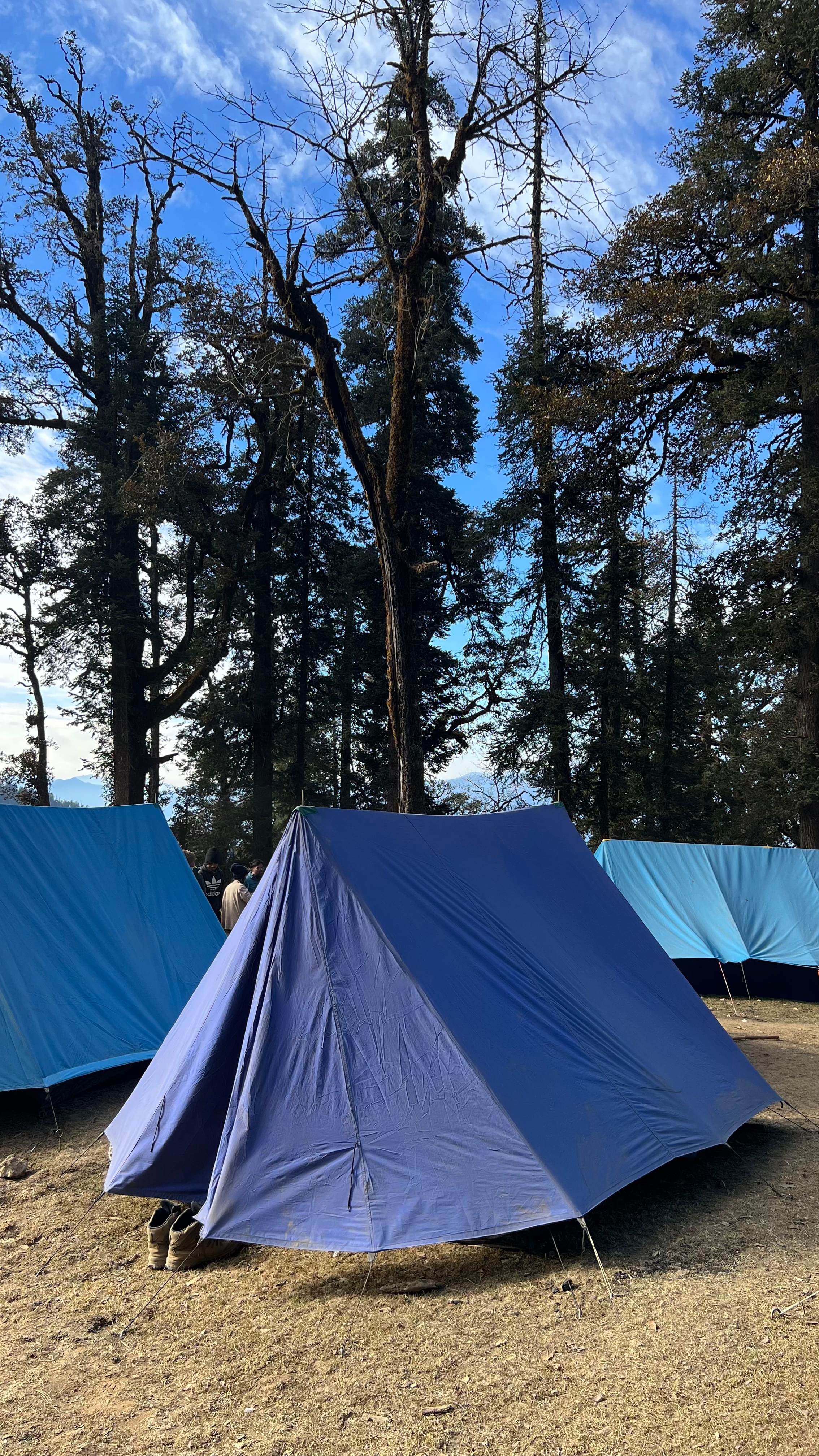
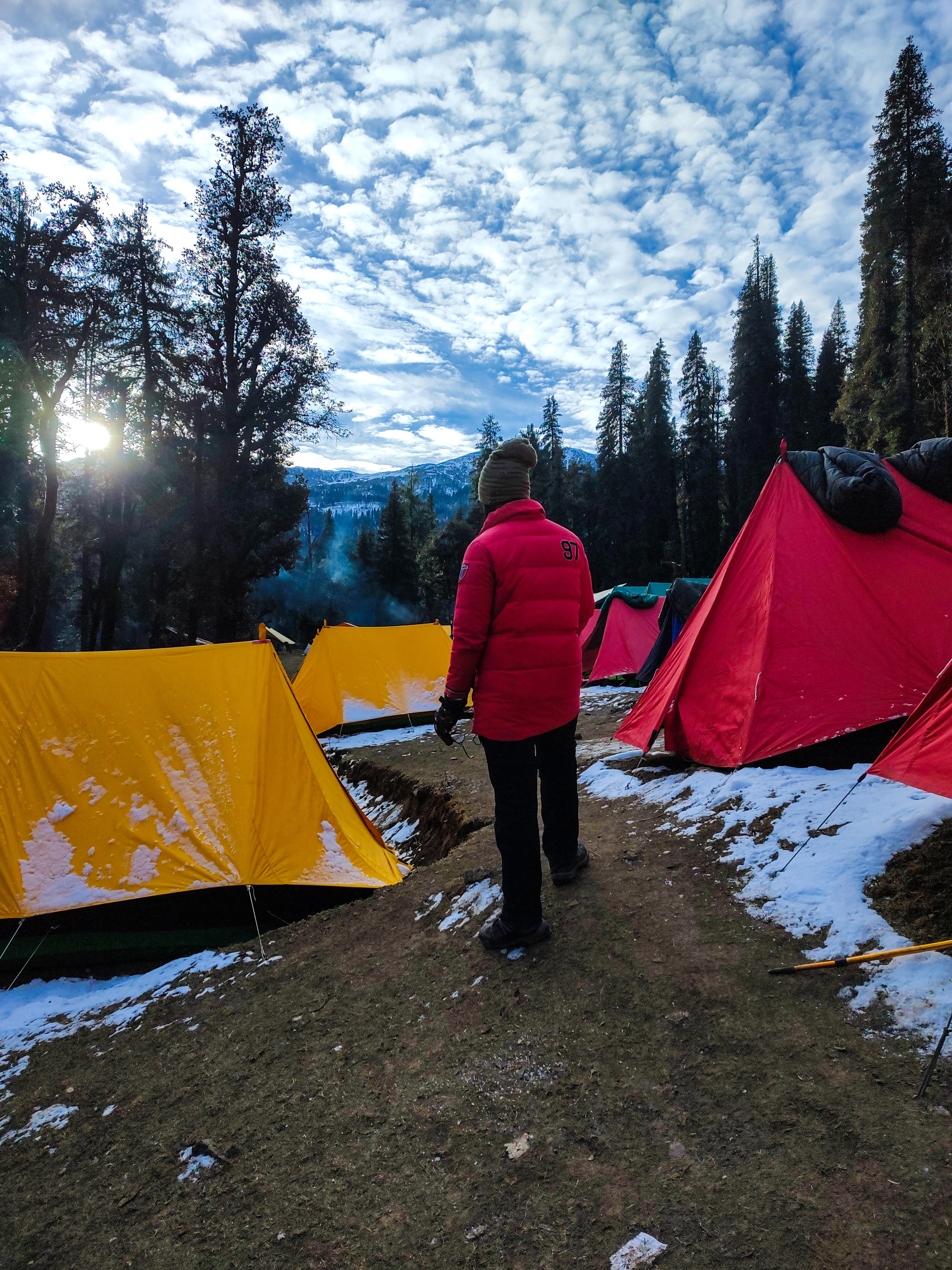
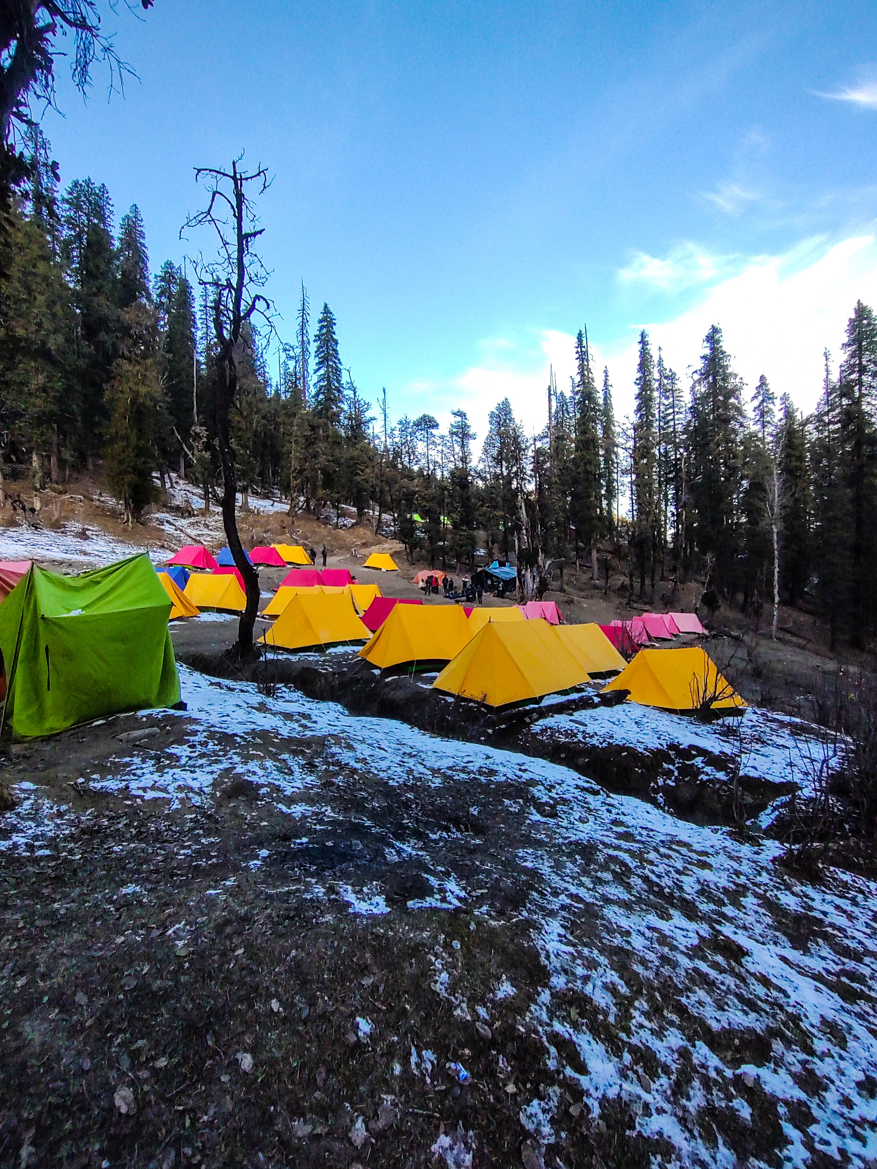
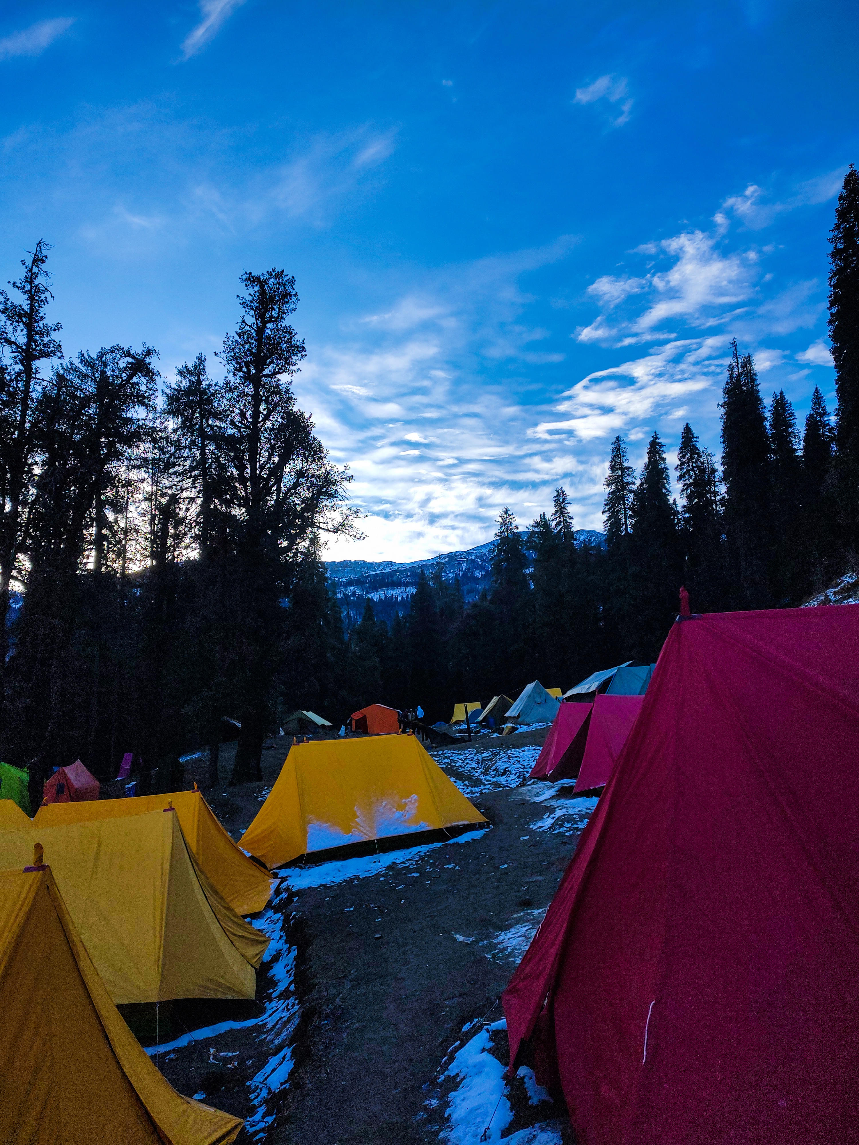
Yes, there are various night stay options while trekking in the Himalayas. You can choose from hotels, basic lodges, and treehouses, depending on the trekking area. The Everest Base Camp even offers tented accommodation at the base camp. Some of the Himalayan treks also provide homestays that allow you to stay in local homes with simple rooms and local food.
Do I need prior trekking experience to undertake these treks?
How long is the Dayara Bugyal Trek?
Will I get a mobile network during the Goechala Trek?
What are the things to carry for trekking in Himalayas?
Extra woolens: It is always recommended to carry extra woolen layers along, especially during winter treks.
Medicine: Do carry all prescribed medication, along with medication for vertigo, nausea and so on.
Hiking stick: To aid in the ascent, if needed
Sun protection: Sun screens, sun hats or long gloves to protect your skin from exposure
Rain covers: Rain coats and backpack covers are must during monsoon treks
Water bottle: A must, to keep yourself hydrated during the climb
Himalayas Trekking Reviews

.jpg)